Install
Contrexéville, Grand Est, France Weather
Current conditions
Forecast for this hour (no station report in the last two hours)
Forecast
10-day-
Wednesday
Rain. High 10°. Precipitation 2.4 mm for the day.
-
Wednesday Night
Light rain. Low 6°. Precipitation 2.4 mm for the day.
-
Thursday
Cloudy. High 12°.
MET Norway forecast updated 3 hrs ago.
Hourly
Hourly forecast- Now9°0.3
- 17:0010°0.5
- 18:009°0.2
- 19:008°
- 20:008°
- 21:007°
- 22:007°
- 23:006°
- Thu00:005°
- 01:005°
- 02:005°
- 03:004°
- 04:004°
- 05:004°
- 06:004°
- 07:004°
- 08:004°
- 09:005°
- 10:006°
- 11:008°
- 12:0010°
- 13:0011°
- 14:0011°
- 15:0012°
10-day forecast
DetailsRadar
Full mapWeather news in France
More weather news-
 Weather in Paris and Île-de-France this week: rain and wind from October 19 to 25
The weather in Paris and Île-de-France puts the mild spell behind it for the week of Monday, October 19 to Sunday, October 25, 2026. After a noticeable cool-down over the weekend, the sky will cloud over, rain returning…
-
 Video. Weather Europe Today (2026/10/21)
Euronews.com Video. Weather Europe Today (2026/10/21) Get the latest weather forecast from Euronews, covering conditions across Europe and around the world. Our regular weather update walks you through temperatures…
-
 Heavy rain to batter Scotland for 21 hours as Storm Austen hits UK
Heavy rain will batter much of Scotland for 21 hours as Storm Austen gets set to sweep the UK. The first named storm of the season is forecast to bring gusts of 50-60mph to southern areas of the UK at the end of the…
-
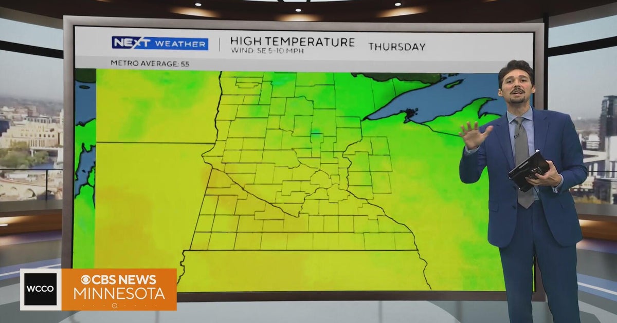 Minnesota weather stays unusually warm, with highs 15 to 20 degrees above normal | Oct. 20, 2026
CBS News Minnesota weather stays unusually warm, with highs 15 to 20 degrees above normal | Oct. 20, 2026 Preview: Golf 101 at Park 365 in Roseville Twin Cities man, 18, accused in MOA terror plot, and more headlines…
-
 Strong winds could damage trees and disrupt travel
Storm Goretti brought trees down across the island earlier this year Forecasters have warned that severe weather this week could bring tree branches down and disrupt travel. Jersey Met, external has forecast that winds…
-
 Showery weather to intensify across island from today
රංජන්ගේ මැම්බර් | 2026.10.09 රංජන්ගේ මැම්බර් | 2026.10.06 රංජන්ගේ මැම්බර් | 2026.10.01 රංජන්ගේ මැම්බර් | 2026.09.27 රංජන්ගේ මැම්බර් | 2026.09.26 Gunfire targets Tiger Shroff in Mumbai Actor Imran Khan told to leave…
-
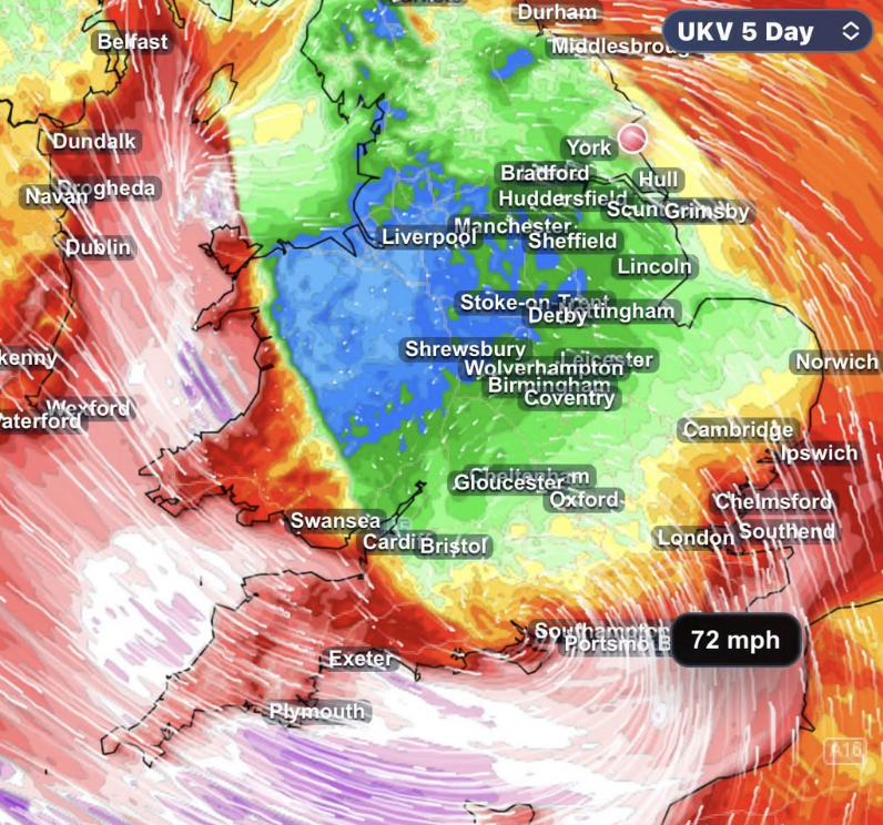 STORM AHEAD Atlantic storm threat grows as southern UK faces risk of damaging winds
Forecasters are closely monitoring a developing Atlantic low which could bring damaging winds and heavy rain to southern parts of the UK late on Thursday and into Friday. The latest forecast guidance continues to show…
-
 Warming trend in Minnesota continues, as rain holds off
CBS News Minnesota is a local news organization that is part of CBS News and Stations. Also referred to as WCCO-TV and channel 4, CBS News Minnesota offers local breaking news, weather coverage and investigative…
-
 Minnesota’s warm, dry streak continues, with temperatures nearing 80 by Thursday | Oct. 19, 2026
A ridge of high pressure keeps the jet stream and cold air to the north, WCCO’s meteorologist says. Highs reach nearly 70 in the Twin Cities Wednesday, the mid 70s Thursday and close to 80 in parts of south central…
-
 Exact date Storm Austen will hit UK with 70mph winds as Brits urged to secure bins, trampolines and garden furniture
BRITS are bracing for heavy rain and 70mph gusts as stormy conditions look set to sweep across the UK this week. The Met Office has issued a yellow wind warning covering 38 areas of England and Wales for Friday. Here’s…
Sun & moon
Nearby
- Nancy 60 km
- Épinal 41 km
- Vandœuvre-lès-Nancy 57 km
- Chaumont 57 km
- Toul 55 km
- Laxou 59 km
- Villers-lès-Nancy 58 km
- Jarville-la-Malgrange 58 km
- Remiremont 55 km
- Dombasle-sur-Meurthe 59 km
- Luxeuil-les-Bains 54 km
- Langres 55 km
Forecasts, observations and alerts in the United States come from the National Weather Service (NOAA); radar from NOAA's Multi-Radar Multi-Sensor system; satellite imagery from NASA's Global Imagery Browse Services (GIBS) and NOAA's GOES satellites; the map from the U.S. Geological Survey's National Map; air quality from AirNow (EPA and its partners); hurricane information from the National Hurricane Center; climate normals and records from NOAA's Regional Climate Centers (ACIS). Forecasts outside the United States and the UV index: MET Norway (CC BY 4.0); observations outside the U.S.: airport reports via NOAA's Aviation Weather Center. Place names: GeoNames (CC BY 4.0). Data are copied on a schedule and may lag the sources; for warnings that affect your safety, follow your local National Weather Service office and emergency officials. Weather news is drawn from the 4Conservative index and reflects what the press published. Terms of use.