Install
Changé, Pays de la Loire, France Weather
Current conditions
Observed at Le Mans/Arnage Arpt · 1 hr ago
Forecast
10-day-
Wednesday
Light showers. High 14°. Precipitation 0.8 mm for the day.
-
Wednesday Night
Rain. Low 9°. Precipitation 0.8 mm for the day.
-
Thursday
Light rain. High 16°. Precipitation 1.5 mm for the day.
MET Norway forecast updated 3 hrs ago.
Hourly
Hourly forecast- Now9°
- 01:009°
- 02:0010°
- 03:0011°
- 04:0011°0.3
- 05:0011°
- 06:0011°
- 07:0011°
- 08:0012°
- 09:0011°
- 10:0011°
- 11:0012°
- 12:0013°
- 13:0013°
- 14:0014°0.3
- 15:0013°
- 16:0014°
- 17:0013°
- 18:0013°
- 19:0012°
- 20:0011°
- 21:0010°
- 22:0010°
- 23:009°
Daily forecast
DetailsRadar
Full mapWeather news near Changé
More weather news-
 Weather 101: Why do the leaves change color each fall?
WSFA Weather 101: Why do the leaves change color each fall? Dry, cool, and comfortable fall air continues to stick around for the next several days! Sketch the Sky winner October 19: Carsyn Morrissette Morning lows are…
-
 Weather Shift: Delhi Sees a Change in Weather With a Light Haze Blanketing the City
Abplive.com stands as one of India’s fastest-growing and most trusted English news platforms, known for its sharp, fearless, and balanced journalism. The website delivers accurate and timely updates from across India…
-
 Everything you need to know about the clocks changing in 2026
As we figure out how to change the time on our cars and appliances, it's only natural to question the purpose of daylight savings time - and when it might come to an end. When do the clocks change in 2026? In Ireland…
-
 Another change in the weather that syncs up with the weekend
KRTV Monday looks like a real treat, with partly cloudy skies and highs climbing back into the upper 60s, or about 15 degrees above the seasonal average for this time of year. Tuesday pulls back a bit to the upper 50s…
-
 Tracking weather changes on tap for Arizona this week
AZ Family Tracking weather changes on tap for Arizona this week Mountain View outlasts Red Mountain in OT Battle of Brown Road ShinBay brings Arizona's only true omakase to Old Town Scottsdale 1 critically hurt after…
-
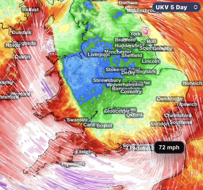 STORM AHEAD Atlantic storm threat grows as southern UK faces risk of damaging winds
Forecasters are closely monitoring a developing Atlantic low which could bring damaging winds and heavy rain to southern parts of the UK late on Thursday and into Friday. The latest forecast guidance continues to show…
-
 After cool Sunday, big changes expected for South Texas weather. Here's what's next.
If you're a fall-weather fan, then Sunday will be the absolute perfect day to get outside. A chilly, crisp morning will be followed by a cool, sunny afternoon with very little wind throughout the region. After making it…
-
 Big weather change ahead: goodbye 90's, hello... rain!
KMPH Fox 26 Are you ready? Because our weather is about to change in a big way We've already said goodbye to the triple digits for the year, and it's now looking like Sunday will be the last of the 90's for 2026 Rain is…
- Ukraine is switching to standard time; when to change the clock
On the night of Saturday, October 24, to Sunday, October 25, Ukraine is set to switch to standard time. At 4:00 a.m., clocks will need to be set back one hour to 3:00 a.m. Although the Verkhovna Rada approved the…
-
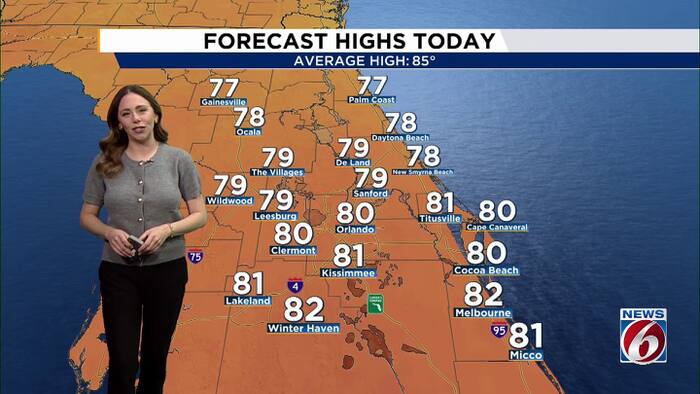 Pleasant weather continues as Invest 93L stirs up rough seas this week.
WKMG Pleasant weather continues as Invest 93L stirs up rough seas this week. Peacock problems: Casselberry considering change to bird sanctuary rules Lawsuit filed by homeowners in Vistas at Phillips Commons Casselberry…
Sun & moon
Nearby
- Le Mans 6 km
- Alençon 52 km
- La Flèche 42 km
- Sablé-sur-Sarthe 49 km
- Nogent-le-Rotrou 55 km
- Allonnes 9 km
- La Ferté-Bernard 35 km
- Coulaines 7 km
- Évron 54 km
- Juigné 59 km
- Mamers 41 km
- Arnage 10 km
Forecasts, observations and alerts in the United States come from the National Weather Service (NOAA); radar from NOAA's Multi-Radar Multi-Sensor system; satellite imagery from NASA's Global Imagery Browse Services (GIBS) and NOAA's GOES satellites; the map from the U.S. Geological Survey's National Map; air quality from AirNow (EPA and its partners); hurricane information from the National Hurricane Center; climate normals and records from NOAA's Regional Climate Centers (ACIS). Forecasts outside the United States and the UV index: MET Norway (CC BY 4.0); observations outside the U.S.: airport reports via NOAA's Aviation Weather Center. Place names: GeoNames (CC BY 4.0). Data are copied on a schedule and may lag the sources; for warnings that affect your safety, follow your local National Weather Service office and emergency officials. Weather news is drawn from the 4Conservative index and reflects what the press published. Terms of use.