Install
Llefià, Catalonia, Spain Weather
Current conditions
Forecast for this hour (no station report in the last two hours)
Forecast
10-day-
Friday
Partly cloudy. High 20°. Precipitation 0.5 mm for the day.
-
Friday Night
Showers. Low 17°. Precipitation 0.5 mm for the day.
-
Saturday
Rain. High 18°. Precipitation 3.1 mm for the day.
MET Norway forecast updated 3 hrs ago.
Hourly
Hourly forecast- Now20°
- 14:0020°
- 15:0019°
- 16:0019°
- 17:0019°
- 18:0019°
- 19:0019°
- 20:0018°0.3
- 21:0019°0.2
- 22:0019°
- 23:0018°
- Sat00:0017°
- 01:0015°
- 02:0015°
- 03:0015°
- 04:0016°0.2
- 05:0016°0.8
- 06:0015°0.9
- 07:0015°0.3
- 08:0015°0.3
- 09:0015°0.2
- 10:0015°
- 11:0015°
- 12:0016°0.2
Daily forecast
DetailsRadar
Full mapWeather news near Llefià
More weather news-
 Dangerous Freeze Warnings for 7 Counties in New York as Temperatures Plummet
Freeze Warnings take effect tonight across parts of New York, with lows in the upper 20s to around 30 expected from the Hudson Valley to Buffalo. The warnings run into 9 a.m. EDT Sunday. Frost and freeze conditions…
- Spain Rain Alerts: Red Warnings for Barcelona, Valencia
Red rain warnings are affecting Spain’s Mediterranean coast this weekend, with torrential rainfall forecast around Barcelona on Saturday, October 17, followed by the southern Valencia and northern Alicante coasts on…
-
 Dangerous Freeze Watch for Parts of Indiana and Michigan as Temperatures Drop
A Freeze Watch is in effect for northern, east central and southeast Indiana from late Saturday night through Sunday morning, with lows as cold as 31 degrees possible. A Frost Advisory comes first, for parts of northern…
-
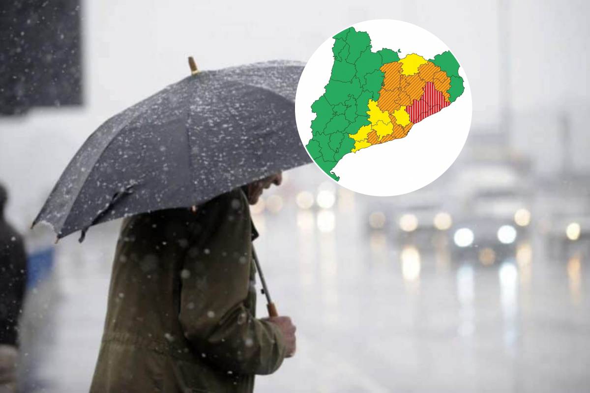 Red Alert in Catalonia Due to the DANA This Weekend: Rainfall of Up to 300 l/m² and Dropping Temperatures on Saturday and Sunday
Civil Protection has activated the Inuncat plan in anticipation of a critical peak early Sunday morning, with more than 40 l/m² in half an hour along the coast and coastal foothills of Barcelona. Barcelona is bracing…
-
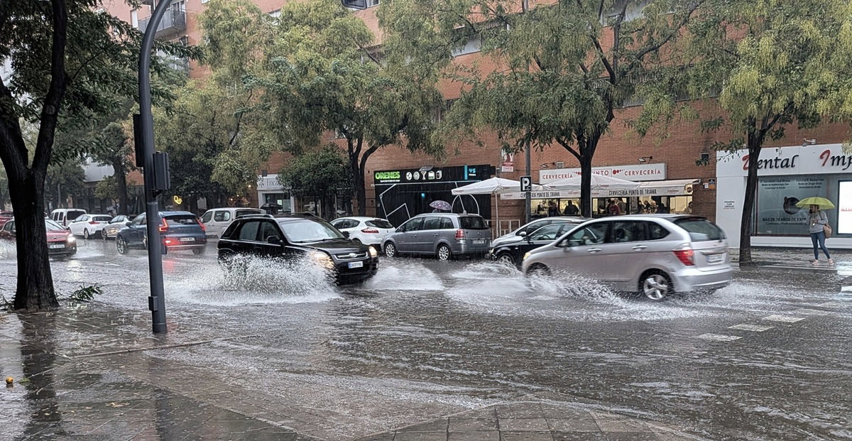 Spain on alert as heavy rain and storms threaten Mediterranean coast this weekend
Heavy rain and storms threaten Spain’s Mediterranean coast this weekend Credit : Pat Moore, Shutterstock Spain is preparing for a dramatic change in the weather this weekend, when heavy rains, storms and a sharp drop in…
-
 Alert in many regions for heavy rains starting Saturday
The change of weather will come accompanied by a clear cooling of full autumn After many days of calm and weather that is too warm for the time of year, the weather will become complicated this weekend The anticyclone…
-
 Vancouver (BC) Sunshine Hours by Month – Monthly Average
To truly understand a climate, we must look at its sunshine. This page shows the total number of hours of direct sunlight per month and the average hours per day in Vancouver, British Columbia, Canada. The numbers…
-
 The rains and the atmosphere of full autumn will return the weekend
The calm will be maintained until Friday, with high temperatures for the dates The calm weather will continue until Friday, with sun combined with thin clouds and high humidity, which will favor the appearance of new…
- The rains and the full autumn atmosphere will return the weekend
Diari ARA The quiet weather will continue until Friday, with sun combined with thin clouds and high humidity, which will favor the appearance of new fog and low clouds, especially in parts of Central Catalonia, the…
-
 Dangerous Freeze Warnings Issued for Nevada, Idaho and Utah as Temperatures Plummet
Freeze Warnings are in effect tonight across parts of Utah, Nevada and Idaho, with lows in the mid to upper 20s on the Snake River Plain around Idaho Falls and Pocatello, and 28 in Lincoln County, Nevada. The warnings…
Sun & moon
Nearby
- Barcelona 7 km
- L'Hospitalet de Llobregat 13 km
- Terrassa 22 km
- Badalona 3 km
- Sabadell 15 km
- Mataró 22 km
- Santa Coloma de Gramenet 2 km
- Cornellà de Llobregat 15 km
- Sant Boi de Llobregat 19 km
- Sant Cugat del Vallès 12 km
- Manresa 46 km
- Rubí 17 km
Forecasts, observations and alerts in the United States come from the National Weather Service (NOAA); radar from NOAA's Multi-Radar Multi-Sensor system; satellite imagery from NASA's Global Imagery Browse Services (GIBS) and NOAA's GOES satellites; the map from the U.S. Geological Survey's National Map; air quality from AirNow (EPA and its partners); hurricane information from the National Hurricane Center; climate normals and records from NOAA's Regional Climate Centers (ACIS). Forecasts outside the United States and the UV index: MET Norway (CC BY 4.0); observations outside the U.S.: airport reports via NOAA's Aviation Weather Center. Place names: GeoNames (CC BY 4.0). Data are copied on a schedule and may lag the sources; for warnings that affect your safety, follow your local National Weather Service office and emergency officials. Weather news is drawn from the 4Conservative index and reflects what the press published. Terms of use.