Install
l'Escala, Catalonia, Spain Weather
Current conditions
Forecast for this hour (no station report in the last two hours)
Forecast
10-day-
Wednesday
Light showers. High 19°. Precipitation 1.8 mm for the day.
-
Wednesday Night
Showers. Low 11°. Precipitation 1.8 mm for the day.
-
Thursday
Cloudy. High 19°. Precipitation 3.9 mm for the day.
MET Norway forecast updated 1 day ago.
Hourly
Hourly forecast- Now16°
- 23:0015°
- Thu00:0014°1.5
- 01:0013°1.5
- 02:0013°0.7
- 03:0013°0.2
- 04:0013°
- 05:0012°
- 06:0012°
- 07:0011°
- 08:0011°
- 09:0011°
- 10:0013°
- 11:0014°
- 12:0016°
- 13:0017°
- 14:0018°
- 15:0018°
- 16:0019°
- 17:0018°
- 18:0017°
- 19:0016°
- 20:0016°
- 21:0016°
Daily forecast
DetailsRadar
Full mapWeather news in Spain
More weather news-
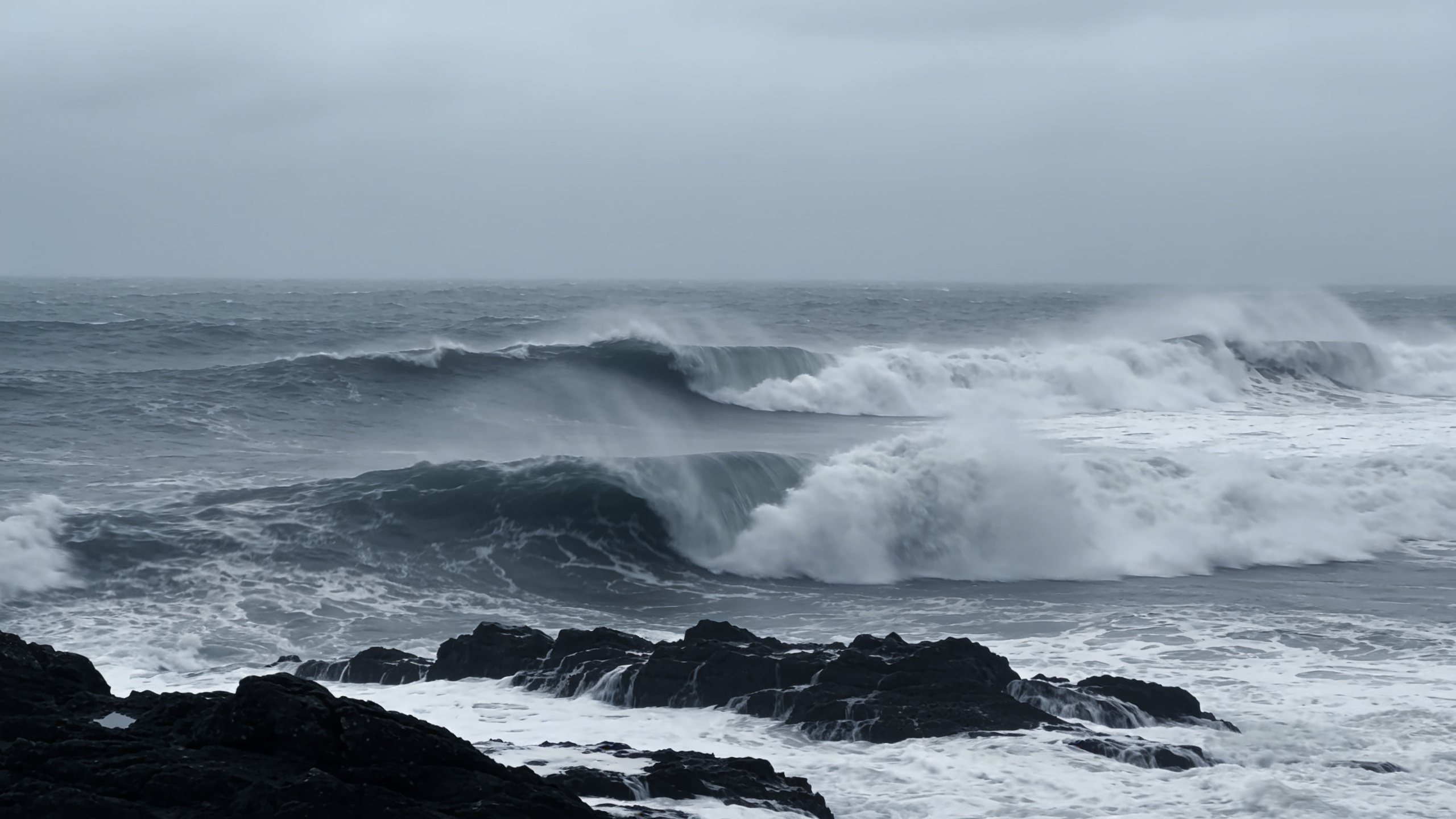 Polar jet may drive 100 km/h winds across northern Spain
A rapidly deepening low could bring gusts above 100 km/h to Galicia and the Cantabrian coast between Thursday and Friday. Waves may reach 10 metres as temperatures fall. The cold will be most noticeable overnight and in…
-
 Clocks go back on 25 October, giving Spain an extra hour of sleep
The change is set out in the Official State Gazette (BOE), which confirms 25 October as the official end date for this year’s summer time period, happening “at three in the morning (two in the morning in the Canary…
- El Niño could reach record intensity, UN weather agency warns
The El Niño weather phenomenon could reach unprecedented intensity, with sea temperatures in the tropical Pacific potentially rising to record levels, the World Meteorological Organization (WMO) said on Wednesday. Sea…
-
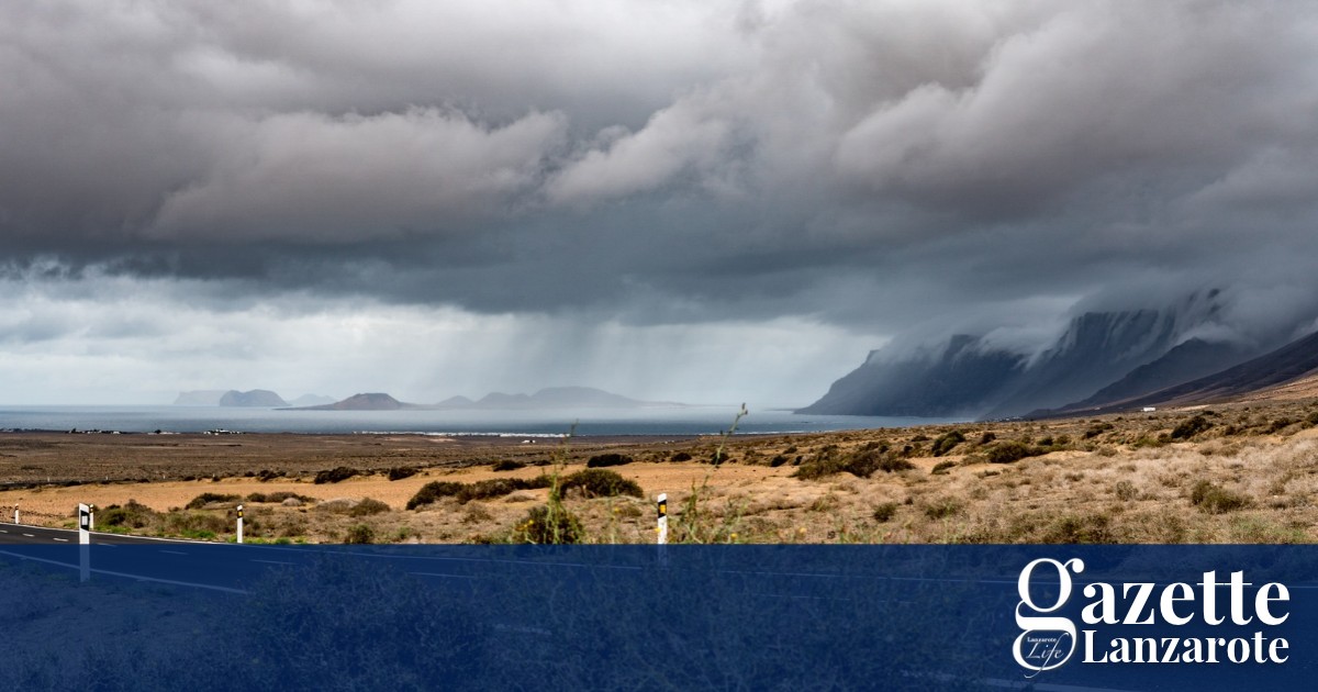 Rain and possible storms arrive on Lanzarote as AEMET issues yellow warning - Gazette Life
Spain’s weather agency, AEMET, has issued a yellow warning for rain that will remain in effect until 6pm this evening. Rainfall of 15 mms per hour is forecast, with the possibility of showers and stormy conditions. The…
-
 Video. Weather Europe Today (2026/10/21)
Euronews.com Video. Weather Europe Today (2026/10/21) Get the latest weather forecast from Euronews, covering conditions across Europe and around the world. Our regular weather update walks you through temperatures…
-
 Weather in Paris and Île-de-France this week: rain and wind from October 19 to 25
The weather in Paris and Île-de-France puts the mild spell behind it for the week of Monday, October 19 to Sunday, October 25, 2026. After a noticeable cool-down over the weekend, the sky will cloud over, rain returning…
-
 Canary Islands on alert for a cold low-pressure system: Aemet extends rain warnings
The Canary Islands are experiencing another day of unstable weather this Tuesday, 20 October, with yellow rain warnings in place for La Palma and El Hierro as a mass of humid, unstable air moves across the archipelago…
-
 Mainly Sunny Days Ahead: Dry Pattern Holds Through the Week | October 19, 2026
High temperatures this week will be in the 70s and 80s, generally near or slightly above normal for mid-to-late October. No rain is expected in East Texas through the end of the week. Sunny to mostly sunny skies are in…
-
 Mainly sunny days ahead, dry pattern holds through the week
High temperatures this week will be in the 70s and 80s, generally near or slightly above normal for mid-to-late October. No rain is expected in East Texas through the end of the week. Sunny to mostly sunny skies are in…
-
 Weather alert: Rain, lightning, hail, and storms in Moldova
Meteorologists issued a Yellow Code for Atmospheric Instability for Wednesday, August 6. The warning is in effect for the northern and central regions of the Republic of Moldova. Heavy rainfall, lightning, hail, and…
Sun & moon
Nearby
- Girona 30 km
- Figueres 21 km
- Blanes 58 km
- Lloret de Mar 53 km
- Olot 53 km
- Salt 33 km
- Palafrugell 23 km
- Sant Feliu de Guíxols 39 km
- Banyoles 30 km
- Roses 16 km
- Palamós 31 km
- Tordera 58 km
Forecasts, observations and alerts in the United States come from the National Weather Service (NOAA); radar from NOAA's Multi-Radar Multi-Sensor system; satellite imagery from NASA's Global Imagery Browse Services (GIBS) and NOAA's GOES satellites; the map from the U.S. Geological Survey's National Map; air quality from AirNow (EPA and its partners); hurricane information from the National Hurricane Center; climate normals and records from NOAA's Regional Climate Centers (ACIS). Forecasts outside the United States and the UV index: MET Norway (CC BY 4.0); observations outside the U.S.: airport reports via NOAA's Aviation Weather Center. Place names: GeoNames (CC BY 4.0). Data are copied on a schedule and may lag the sources; for warnings that affect your safety, follow your local National Weather Service office and emergency officials. Weather news is drawn from the 4Conservative index and reflects what the press published. Terms of use.