Install
L'Entregu/El Entrego, Asturias, Spain Weather
Current conditions
Forecast for this hour (no station report in the last two hours)
Forecast
10-day-
Monday
Partly cloudy. High 23°.
-
Monday Night
Partly cloudy. Low 9°.
-
Tuesday
Partly cloudy. High 21°. Precipitation 2.4 mm for the day.
MET Norway forecast updated 1 day ago.
Hourly
Hourly forecast- Now10°
- 04:0010°
- 05:009°
- 06:009°
- 07:009°
- 08:009°
- 09:0011°
- 10:0016°
- 11:0020°
- 12:0022°
- 13:0023°
- 14:0023°
- 15:0023°
- 16:0023°
- 17:0021°
- 18:0019°
- 19:0017°
- 20:0015°
- 21:0014°
- 22:0013°
- 23:0013°
- Tue00:0012°
Daily forecast
DetailsRadar
Full mapWeather news near L'Entregu/El Entrego
More weather news-
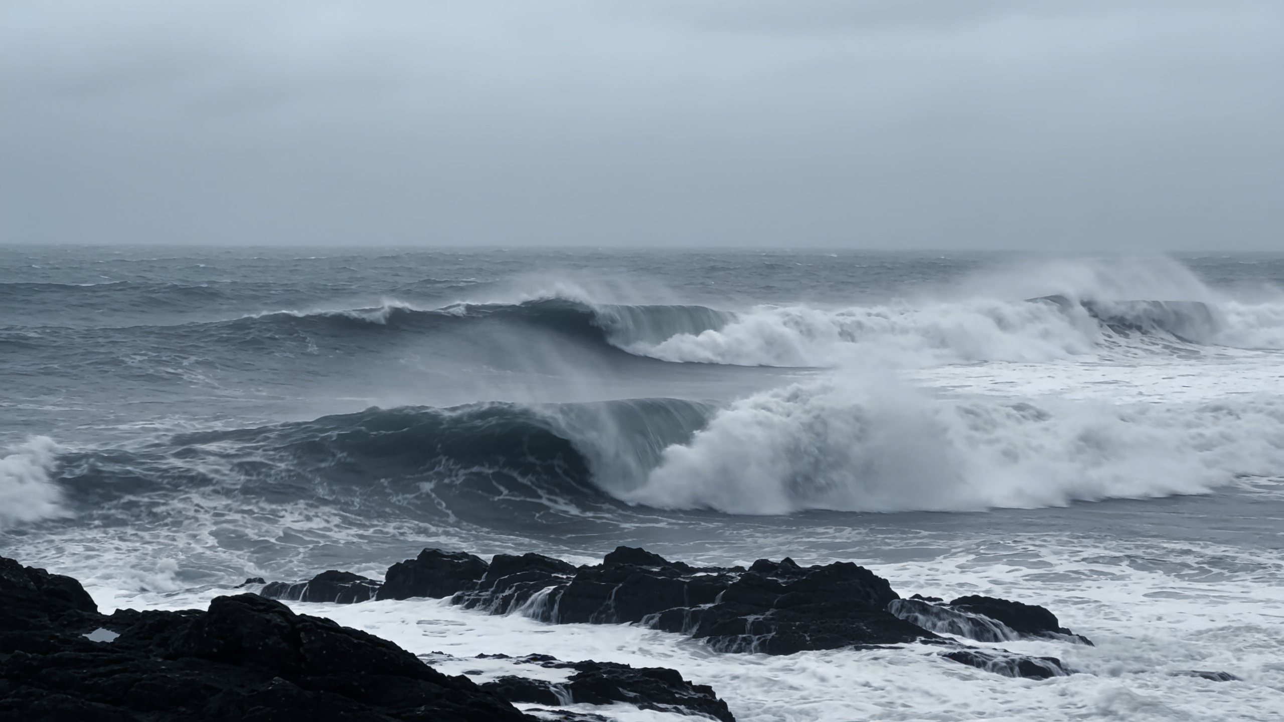 Polar jet may drive 100 km/h winds across northern Spain
A rapidly deepening low could bring gusts above 100 km/h to Galicia and the Cantabrian coast between Thursday and Friday. Waves may reach 10 metres as temperatures fall. The cold will be most noticeable overnight and in…
-
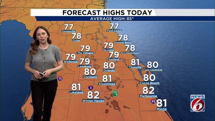 Pleasant weather continues as Invest 93L stirs up rough seas this week.
WKMG Pleasant weather continues as Invest 93L stirs up rough seas this week. Peacock problems: Casselberry considering change to bird sanctuary rules Lawsuit filed by homeowners in Vistas at Phillips Commons Casselberry…
-
 Spain’s DGT urges drivers to check dashboard brightness as clocks go back
Spain’s DGT shares driving advice ahead of darker evenings. Credit : revista.dgt.es Drivers in Spain are being urged to check their dashboard brightness as the clocks go back this weekend, with the DGT warning that…
-
 It’s a bit windy out at Edinburgh Airport
Storm Boelo has taken its toll on transport all weekend, and heavy winds are expected to continue until 9pm on Sunday evening. Out at Edinburgh Airport there are cancellations and delays on many routes, with one Ryanair…
-
 Did the clocks change last night?
IF your night felt unusually long and you were surprised it was light when you got out of bed, you may not be keeping track of the time. British Summer Time (BST) has ended and Greenwich Mean Time (GMT) is here until…
-
 How and why do we name storms?
The UK is braced for its second storm of the season just more than 24 hours after the first passed. Here is everything you need to know about why storms are named and how a name is chosen. – Why do we name storms? In…
-
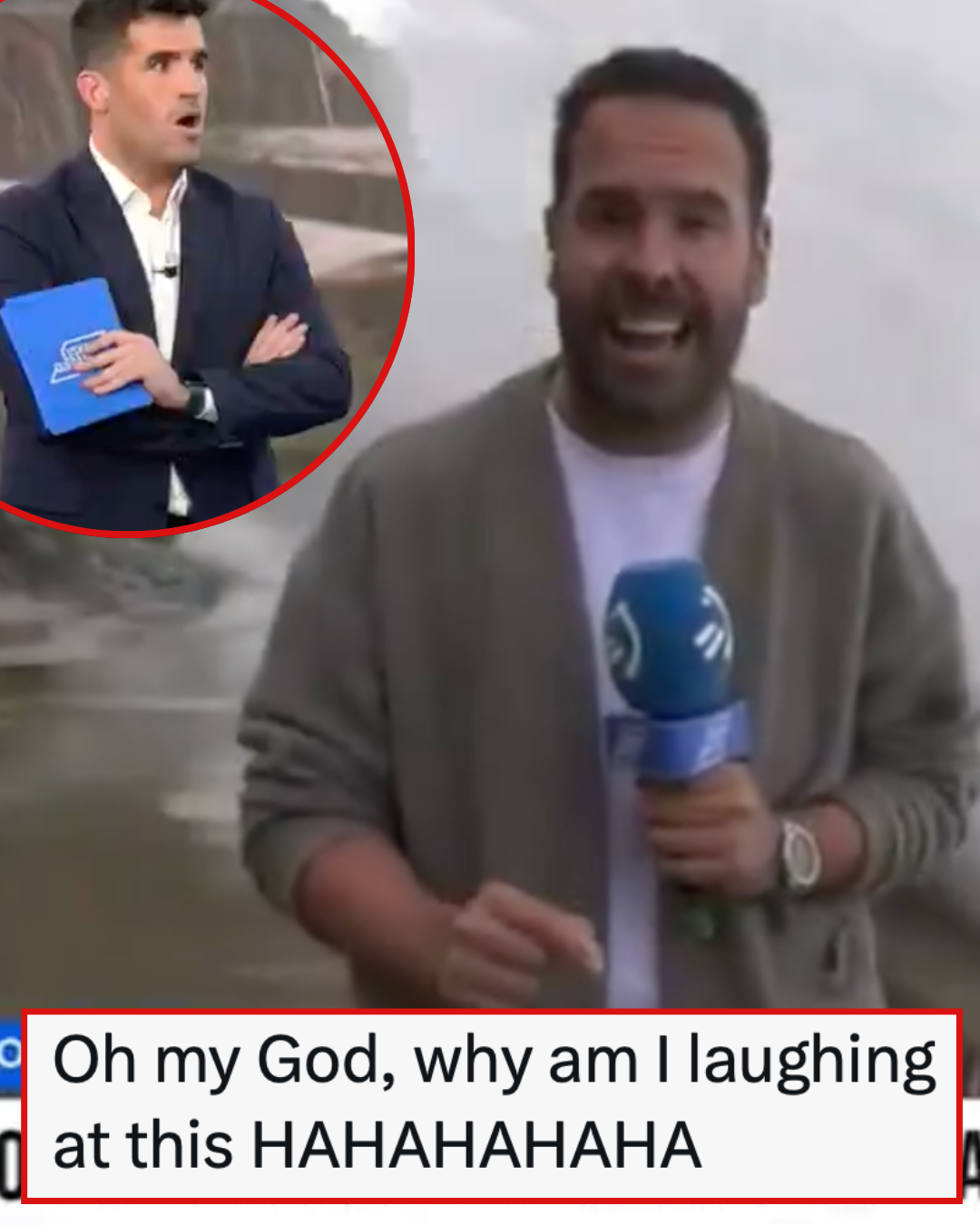 This Spanish TV reporter got a bit too close to the extreme weather and it’s a salutary lesson for us all
Poke Reporter. Updated October 23rd, 2026 It’s getting stormy out there, not just in the UK but across Europe and in this particular instance Spain. It’s a weather reporter who went out to the coast in Ondarroa…
-
 Do the clocks change in Spain? Here’s what happens in Europe compared to the UK
BRITS flock to Spain every year for a well-deserved break. But with cross-Channel travel, it’s easy to get confused about exactly how time works on the Continent. As the UK prepares for the ritual of putting the clocks…
-
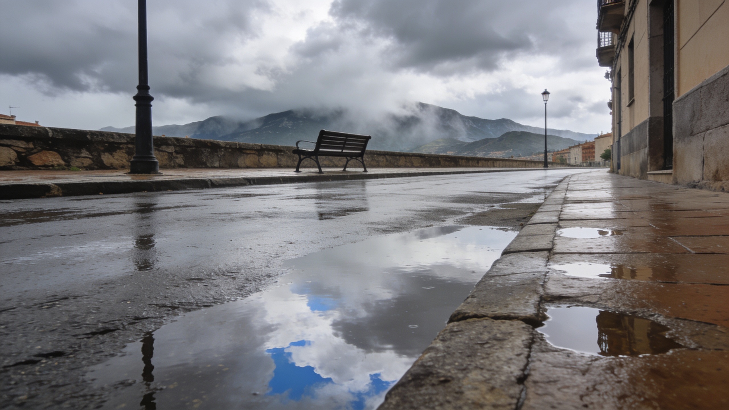 Storm Austen brings rough seas and strong winds to Spain
Storm Austen’s fronts are forecast to bring rain to north-western Spain and the Pyrenees, with very strong winds and rough seas in the north. Temperatures are expected to rise across the country on Sunday. Sevilla could…
-
 Time change this Sunday: the clocks go back and the evenings change rhythm
En la madrugada del 24 al 25 de octubre, a las dos volverá a ser la una. El horario de invierno traerá amaneceres y atardeceres más tempranos en el reloj, con nuevos ajustes en las rutinas cotidianas Digital newspaper…
Sun & moon
Nearby
- Gijón 28 km
- Oviedo 19 km
- Avilés 38 km
- Mieres 11 km
- Sama 4 km
- La Felguera 5 km
- Natahoyo 28 km
- Corvera de Asturias 34 km
- Villaviciosa 27 km
- Lugones 19 km
- Llanera 24 km
- Pola de Siero 12 km
Forecasts, observations and alerts in the United States come from the National Weather Service (NOAA); radar from NOAA's Multi-Radar Multi-Sensor system; satellite imagery from NASA's Global Imagery Browse Services (GIBS) and NOAA's GOES satellites; the map from the U.S. Geological Survey's National Map; air quality from AirNow (EPA and its partners); hurricane information from the National Hurricane Center; climate normals and records from NOAA's Regional Climate Centers (ACIS). Forecasts outside the United States and the UV index: MET Norway (CC BY 4.0); observations outside the U.S.: airport reports via NOAA's Aviation Weather Center. Place names: GeoNames (CC BY 4.0). Data are copied on a schedule and may lag the sources; for warnings that affect your safety, follow your local National Weather Service office and emergency officials. Weather news is drawn from the 4Conservative index and reflects what the press published. Terms of use. How to use Weather