Install
‘Izbat ‘Alī as Sayyid, Beheira, Egypt Weather
Current conditions
Forecast for this hour (no station report in the last two hours)
Forecast
10-day-
Monday
Fog. High 29°.
-
Monday Night
Partly cloudy. Low 16°.
-
Tuesday
Light showers. High 29°.
MET Norway forecast updated 19 hrs ago.
Hourly
Hourly forecast- Now21°
- 23:0020°
- Tue00:0019°
- 01:0019°
- 02:0018°
- 03:0018°
- 04:0017°
- 05:0017°
- 06:0017°
- 07:0017°
- 08:0018°
- 09:0021°
- 10:0025°
- 11:0028°
- 12:0029°
- 13:0029°
- 14:0029°
- 15:0028°
- 16:0027°
- 17:0026°
- 18:0025°
- 19:0023°
- 20:0023°
- 21:0022°
Daily forecast
DetailsRadar
Full mapWeather news near ‘Izbat ‘Alī as Sayyid
More weather news-
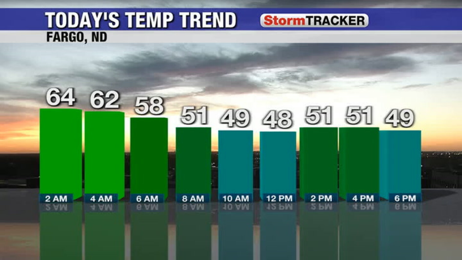 Cooler this evening as clouds gradually wither away
Alexandria Echo Press Cooler this evening as clouds gradually wither away
-
 Possibility of near record high temps today (Thursday) across the area
Voice of Alexandria (Courtesy: National Weather Service) (Undated)--The National Weather Service says we will have one more day today (Thursday) of sunny skies before a stretch of cloudy and more active weather moves in…
-
 Sunshine and warm temperatures for today
Alexandria Echo Press Sunshine and warm temperatures for today
-
 EMA Forecasts Moderately Hot Daytime Weather, Chances of Rain on Thursday
The Egyptian Meteorological Authority (EMA) has forecast moderately hot to hot daytime weather on Thursday, October 22, 2026, across the northern parts of the country down to Greater Cairo and northern Upper Egypt…
-
 Warm temps to continue with near record highs expected Thursday
Voice of Alexandria (Courtesy: National Weather Service) (Undated)--The National Weather Service says today (Wednesday) and tomorrow will be the nicest days of the week, with scattered rain chances and breezy winds…
-
 Sunshine continues for today
Alexandria Echo Press Sunshine continues for today
-
 Morning Notes for October 20, 2026
Mural Behind the Birchmere — “If you park behind the Birchmere this month, you may notice a plain concrete-block wall slowly turning into something else: an old Alexandria brick warehouse, complete with a loading dock…
-
 Autumnal Weather Prevails across Egypt on Tuesday, Cairo 27°C
Morning mist, sometimes turning to fog, is expected on agricultural and highway roads stretching from northern Egypt to Cairo, the Canal Cities, Central Sinai, and North Upper Egypt. Winds with speeds between 30 and 35…
-
 Rain and Storms to Sweep Across Greece Thursday
Athens is turning to international law and diplomatic pressure after Eastern Libya backed the disputed maritime pact, as Israel, Egypt and the EU reject the move and Greece weighs its next steps in the Eastern…
-
 El Niño Warning: Egypt Expects Above-Average Autumn Rainfall
Egypt is expected to experience above-average rainfall this autumn amid growing concerns over the impact of the El Niño climate phenomenon. El Niño Warning: Egypt Expects Above-Average Autumn Rainfall Egypt is expected…
Sun & moon
Nearby
- Alexandria 23 km
- Damanhur 33 km
- Rosetta 37 km
- Idkū 22 km
- Disūq 48 km
- Kafr ad Dawwār 3 km
- Fuwwah 39 km
- Ḩawsh ‘Īsá 30 km
- Ītāy al Bārūd 58 km
- Ad Dilinjāt 52 km
- Abū al Maţāmīr 28 km
- Abū Ḩummuş 17 km
Forecasts, observations and alerts in the United States come from the National Weather Service (NOAA); radar from NOAA's Multi-Radar Multi-Sensor system; satellite imagery from NASA's Global Imagery Browse Services (GIBS) and NOAA's GOES satellites; the map from the U.S. Geological Survey's National Map; air quality from AirNow (EPA and its partners); hurricane information from the National Hurricane Center; climate normals and records from NOAA's Regional Climate Centers (ACIS). Forecasts outside the United States and the UV index: MET Norway (CC BY 4.0); observations outside the U.S.: airport reports via NOAA's Aviation Weather Center. Place names: GeoNames (CC BY 4.0). Data are copied on a schedule and may lag the sources; for warnings that affect your safety, follow your local National Weather Service office and emergency officials. Weather news is drawn from the 4Conservative index and reflects what the press published. Terms of use. How to use Weather