Install
Santa Elena, Ecuador Weather
Current conditions
Forecast for this hour (no station report in the last two hours)
Forecast
10-day-
Friday
Light rain. High 31°. Precipitation 0.9 mm for the day.
-
Friday Night
Rain. Low 26°. Precipitation 0.9 mm for the day.
-
Saturday
Rain. High 31°. Precipitation 1.7 mm for the day.
MET Norway forecast updated 1 day ago.
Hourly
Hourly forecast- Now28°
- 19:0027°
- 20:0027°
- 21:0027°
- 22:0027°
- 23:0027°
- Sat00:0027°
- 01:0027°
- 02:0027°
- 03:0027°0.2
- 04:0026°0.2
- 05:0026°0.2
- 06:0026°
- 07:0027°
- 08:0028°0.2
- 09:0029°0.4
- 10:0029°0.4
- 11:0029°
- 12:0030°
- 13:0031°
- 14:0030°
- 15:0030°
- 16:0029°
- 17:0028°
Daily forecast
DetailsRadar
Full mapWeather news in Ecuador
More weather news- Japan Declares Latest El Niño the Strongest on Record as Global Experts Debate Pacific Warming Metrics
Japan Meteorological Agency (JMA) recently confirmed that the current El Niño warming phenomenon is the most severe one in the history of monitoring dating back to 1949. According to JMA statistics, water temperatures…
- Saudi Arabia issues red alerts for heavy rain, flash floods in four regions
Jazan, Asir, Al-Baha and Mecca face thunderstorms, hail and strong winds Dubai: Saudi Arabia's National Centrefor Meteorology (NCM) has issued red alerts for heavy rain across parts of four regions on Sunday, warning of…
-
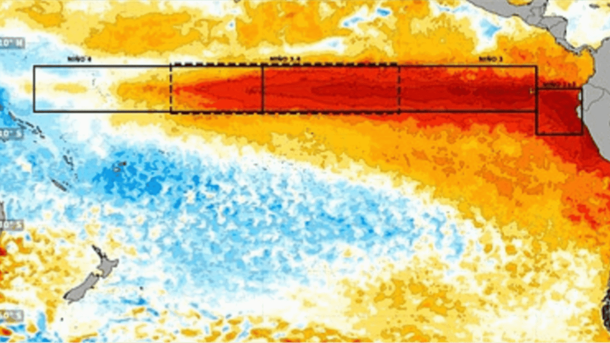 Terrifying new images show Super El Nino developing into 'strongest weather event for 1,000 years'
'El Nino is one of a number of large-scale atmospheric drivers that influence weather patterns in the UK and Europe,' the Met Office says A huge area of unusually warm water appears to be spreading across the Pacific…
-
 Super El Niño 'grows second arm' as Brits warned to stock up ahead of severe weather
New weather maps show the ongoing 'Super El Niño' event appears to have developed a second extension, suggesting a significant expansion of unusually warm waters across the Pacific Ocean — as Brits are urged to prepare…
-
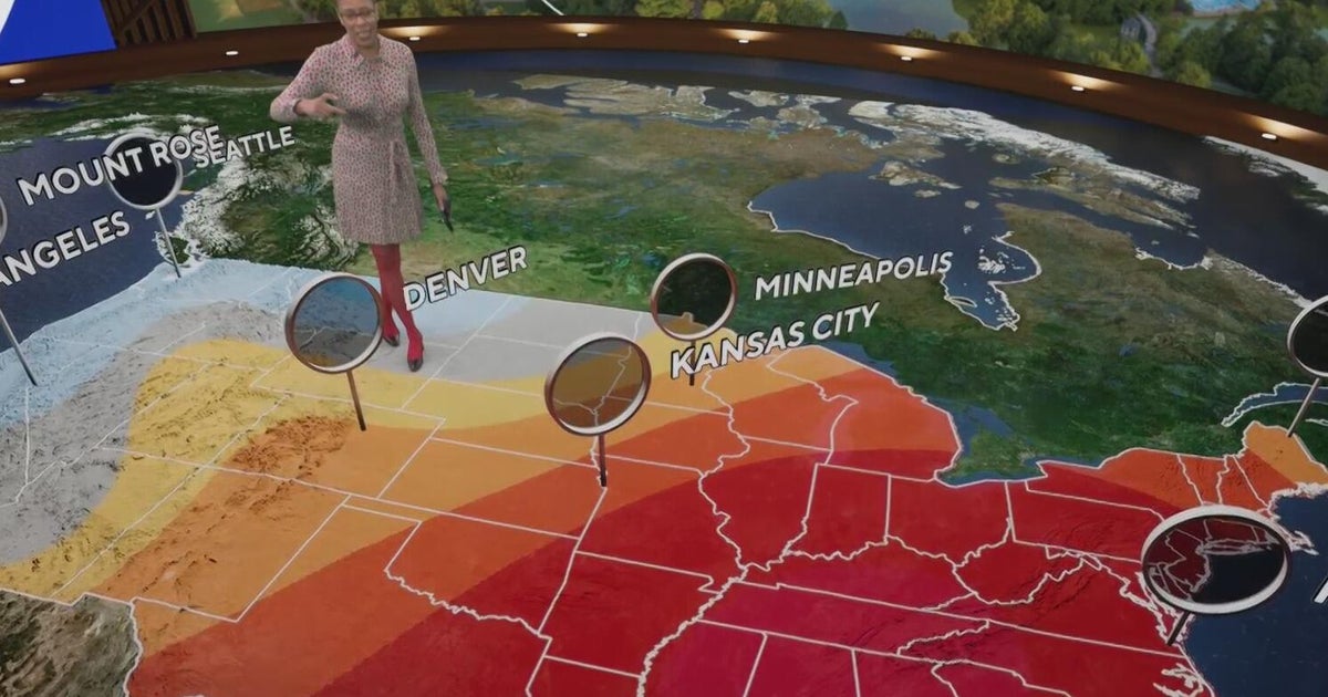 Fall weather in full force across Georgia this weekend
CBS News Atlanta is a local news organization that is part of CBS News and Stations. Also referred to as WUPA and channel 69, CBS News Atlanta offers local breaking news, weather coverage and investigative reporting…
-
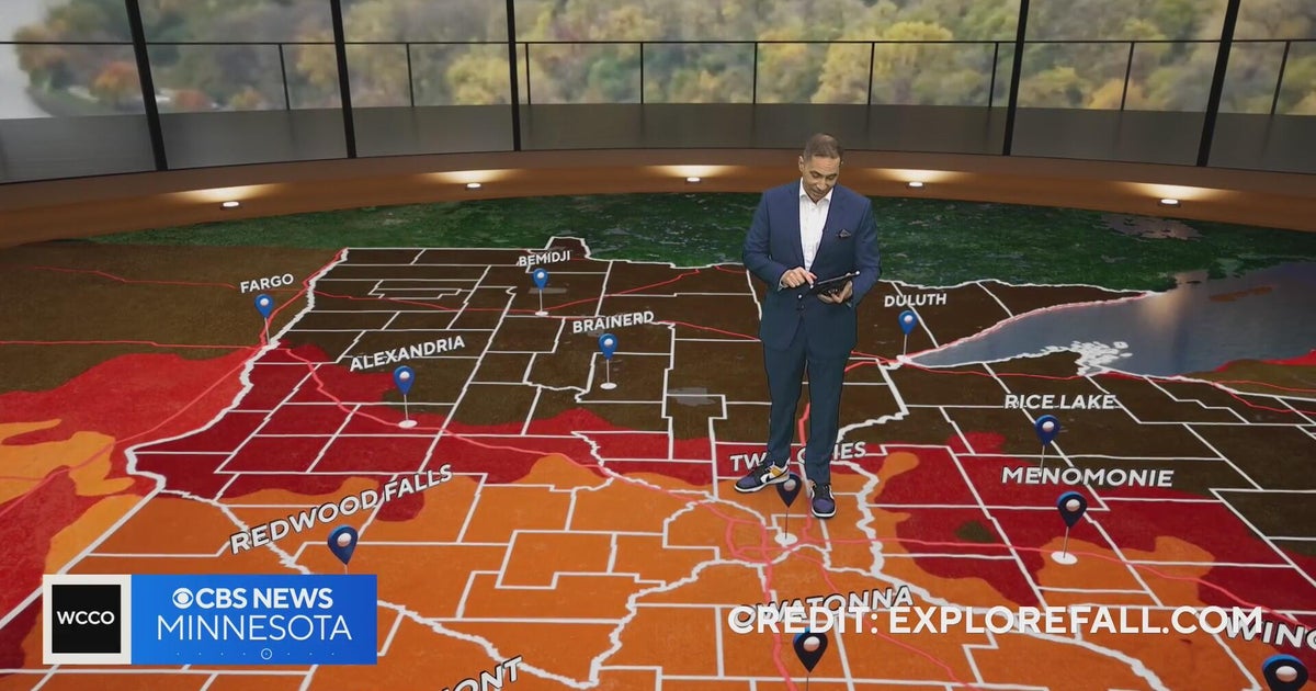 Minnesota weather: one last warm day, then a damp, cool change | Oct. 23, 2026
CBS News Minnesota is a local news organization that is part of CBS News and Stations. Also referred to as WCCO-TV and channel 4, CBS News Minnesota offers local breaking news, weather coverage and investigative…
-
 Trains cancelled and roads warnings as Scotland prepares for Storm Boelo
Some train services will be cancelled during Storm Boelo Train services have been cancelled and police have warned against unnecessary road journeys as Scotland prepares for the arrival of Storm Boelo. Heavy rain and…
-
 Vance could be a major Category 3 hurricane Friday as it nears Mexico
Vance has become a hurricane off the coast of Mexico MIAMI — Vance became a hurricane Friday and the National Hurricane Center said it would strengthen rapidly as it nears Mexico’s Pacific Coast. Vance was a Category 1…
-
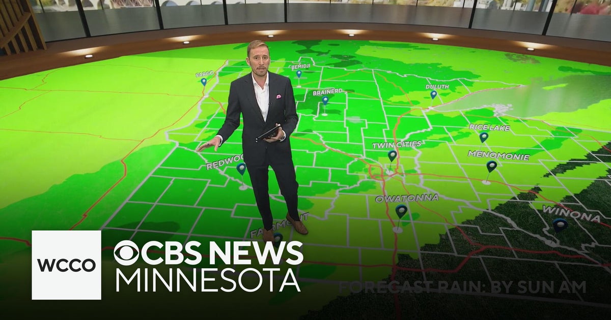 Minnesota's weather is about to pivot back to fall | Oct. 23, 2026
CBS News Minnesota is a local news organization that is part of CBS News and Stations. Also referred to as WCCO-TV and channel 4, CBS News Minnesota offers local breaking news, weather coverage and investigative…
-
 Amber wind warning issued as storm sweeps in
An amber warning for wind has been issued for parts of Cumbria and the north-east of England as the region braces itself for Storm Boelo. High winds are expected to batter north and west Cumbria, including Carlisle…
Sun & moon
Nearby
- La Libertad 6 km
- Salinas 10 km
Forecasts, observations and alerts in the United States come from the National Weather Service (NOAA); radar from NOAA's Multi-Radar Multi-Sensor system; satellite imagery from NASA's Global Imagery Browse Services (GIBS) and NOAA's GOES satellites; the map from the U.S. Geological Survey's National Map; air quality from AirNow (EPA and its partners); hurricane information from the National Hurricane Center; climate normals and records from NOAA's Regional Climate Centers (ACIS). Forecasts outside the United States and the UV index: MET Norway (CC BY 4.0); observations outside the U.S.: airport reports via NOAA's Aviation Weather Center. Place names: GeoNames (CC BY 4.0). Data are copied on a schedule and may lag the sources; for warnings that affect your safety, follow your local National Weather Service office and emergency officials. Weather news is drawn from the 4Conservative index and reflects what the press published. Terms of use.