Install
Polo, Barahona Province, Dominican Republic Weather
Current conditions
Forecast for this hour (no station report in the last two hours)
Forecast
10-day-
Wednesday
Light showers. High 28°. Precipitation 0.8 mm for the day.
-
Wednesday Night
Fog. Low 19°. Precipitation 0.8 mm for the day.
-
Thursday
Heavy showers. High 26°. Precipitation 16.3 mm for the day.
MET Norway forecast updated 8 hrs ago.
Hourly
Hourly forecast- Now20°
- 22:0019°
- 23:0019°
- Thu00:0019°
- 01:0018°
- 02:0018°
- 03:0018°
- 04:0018°
- 05:0018°
- 06:0019°
- 07:0019°
- 08:0022°
- 09:0024°
- 10:0026°0.5
- 11:0026°0.9
- 12:0025°5.7
- 13:0023°3.8
- 14:0022°1.3
- 15:0023°1.5
- 16:0023°2.0
- 17:0022°0.3
- 18:0021°0.3
- 19:0020°
- 20:0020°
10-day forecast
Details- TodayOct 21Light showers0.8 mm19°28°
- ThuOct 22Heavy showers16.3 mm18°26°
- FriOct 23Heavy rain14.1 mm19°25°
- SatOct 24Light rain1.5 mm19°27°
- SunOct 25Rain7.0 mm20°26°
- MonOct 26Heavy rain12.7 mm19°25°
- TueOct 27Heavy rain7.0 mm19°25°
- WedOct 28Rain2.7 mm19°27°
- ThuOct 29Light showers1.5 mm18°28°
- FriOct 30Light showers2.4 mm17°28°
Radar
Full mapWeather news near Polo
More weather news-
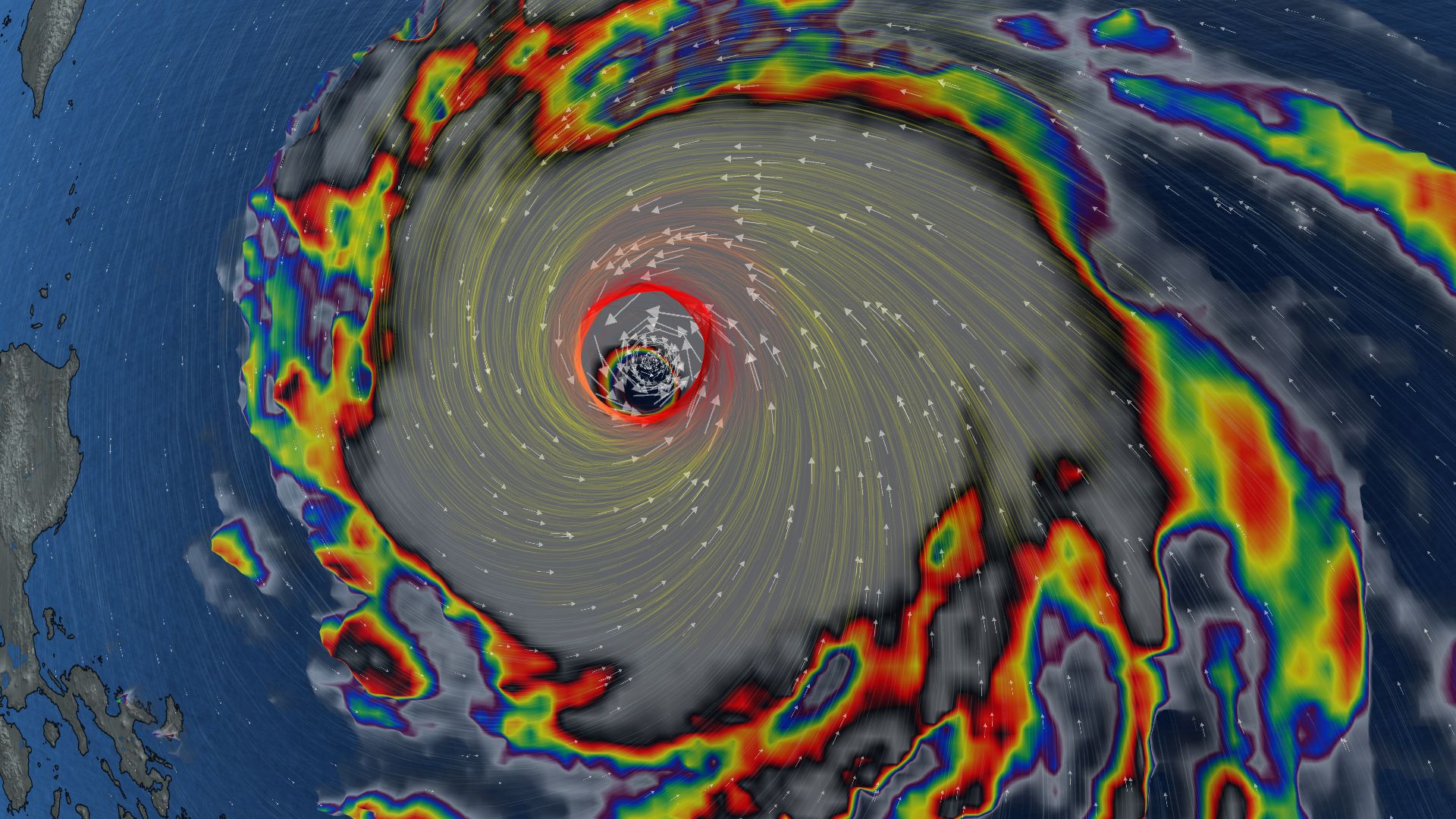 296 km/h: Super Typhoon Champi is now the strongest storm on Earth in 2026
In terms of wind speed, Super Typhoon Champi is the most powerful storm on Earth in 2026 so far, achieving the top storm spot with its peak winds of 296 km/h--the equivalent of a Category 5 storm Super Typhoon Champi…
-
 Five ways El Niño is affecting the weather around the world
El Niño has been strengthening for several months now and is already having a significant impact on global weather patterns. Countries including Indonesia, India and the United States have been experiencing droughts…
-
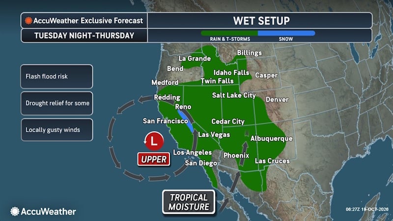 Tropical Threat Brewing Off Mexico Could Funnel Heavy Rain Toward the US Southern Plains
People from western Mexico into the southern Plains in the U.S. need to closely monitor the developing tropical threat as moisture from the system could eventually stream north. AccuWeather hurricane experts are…
-
 Another East Pacific storm brewing, eyeing the southern Mexican shoreline
AccuWeather hurricane experts are once again monitoring a high risk for tropical development southwest of Mexico in the wake of Trudy. Over the very warm waters south of Mexico, forecasters are watching the cluster of…
-
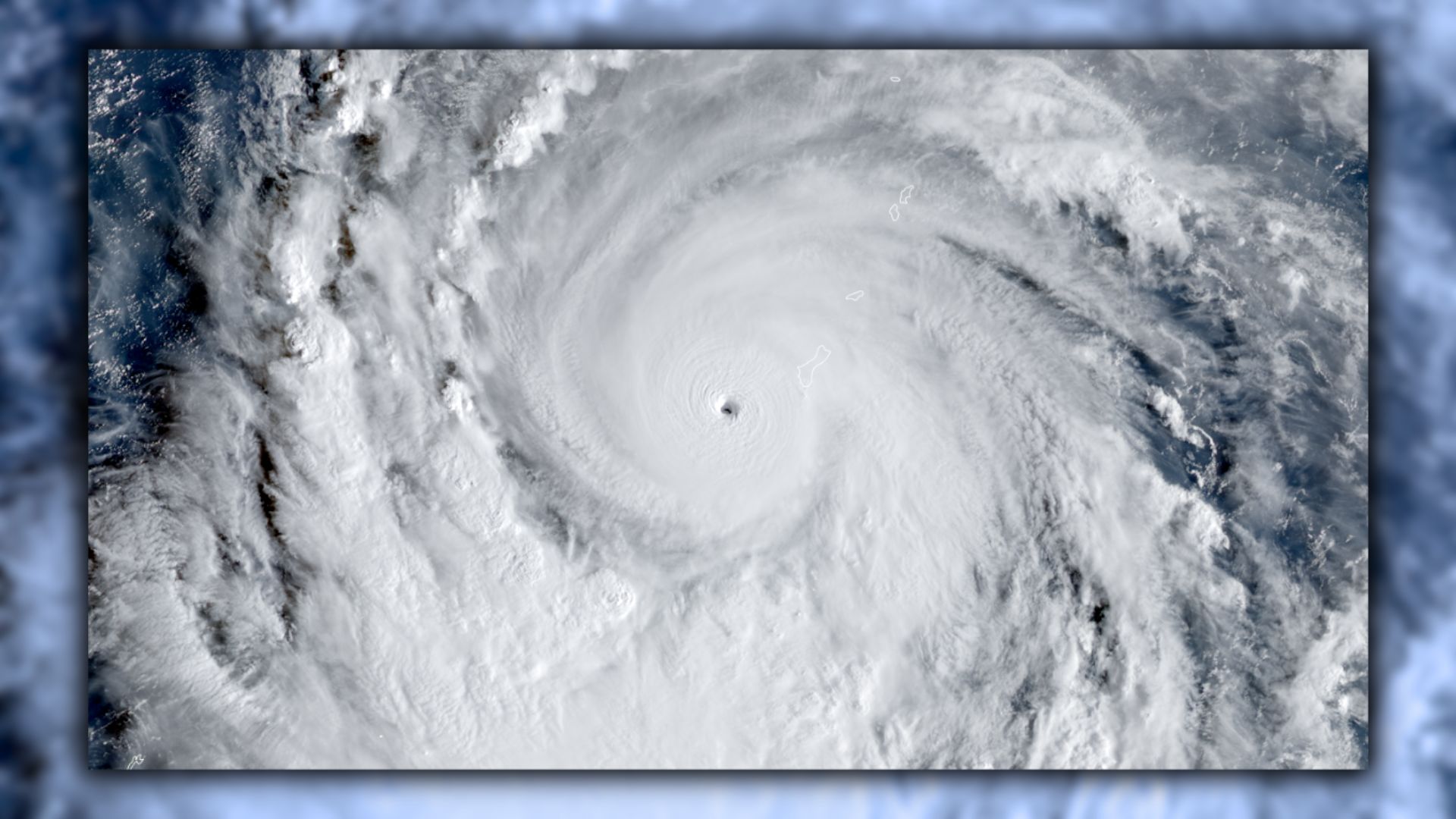 Super Typhoon Champi is chasing the strongest storm on Earth
The powerful storm raked Guam with destructive winds over the weekend Typhoon Champi has an opportunity to grow into the world’s strongest tropical cyclone of 2026. The system in the western Pacific Ocean is already a…
- Pacific hurricane region sets record for big storms, thanks to El Niño
The drumbeat of monster hurricanes in the Pacific has broken a record for nasty long-lasting storms east of the international date line, turbocharged by nature’s supersized El Niño, scientists said. “Since September…
-
 Intense El Niño helps churn out 10 major hurricanes. How does it compare?
The northeastern Pacific basin is in the midst of its most active hurricane season on record The northeastern Pacific Ocean is a hotbed of major hurricanes this year. Ten out of the twelve hurricanes to form in the…
-
 Leaves begin falling and flowers begin fading as winter approaches
More than 50% of the pretty fall leaves are on the ground with the winds and rain we had during the past week. The leaves were crunchy as I came down from the Stillwater Fire Tower last Sunday and the wind was still…
-
 Winter rainfall could recharge Arizona aquifers
PHOENIX (CN) — On the heels of the two driest winters on record, drought conditions across Arizona have slightly receded thanks to a strong monsoon boosted by tropical storms and a strong El Niño in the Pacific. Arizona…
- Vaguada forecast will cause rain starting this afternoon: Over which provinces?
Last update on October 18, 2026 Local October 18, 2026 The Dominican Institute of Meteorology (Indomet) reported that on Sunday morning, good weather will prevail, with few clouds and hot conditions in much of the…
Sun & moon
Nearby
- Santa Cruz de Barahona 24 km
- Neiba 48 km
- Duvergé 42 km
- Cabral 20 km
- Pedernales 49 km
- Vicente Noble 36 km
- Villa Jaragua 50 km
- Paraíso 16 km
- Tamayo 36 km
- Galván 47 km
- Enriquillo 21 km
- Las Salinas 22 km
Forecasts, observations and alerts in the United States come from the National Weather Service (NOAA); radar from NOAA's Multi-Radar Multi-Sensor system; satellite imagery from NASA's Global Imagery Browse Services (GIBS) and NOAA's GOES satellites; the map from the U.S. Geological Survey's National Map; air quality from AirNow (EPA and its partners); hurricane information from the National Hurricane Center; climate normals and records from NOAA's Regional Climate Centers (ACIS). Forecasts outside the United States and the UV index: MET Norway (CC BY 4.0); observations outside the U.S.: airport reports via NOAA's Aviation Weather Center. Place names: GeoNames (CC BY 4.0). Data are copied on a schedule and may lag the sources; for warnings that affect your safety, follow your local National Weather Service office and emergency officials. Weather news is drawn from the 4Conservative index and reflects what the press published. Terms of use.