Install
St. Michiel, Curaçao Weather
Current conditions
Forecast for this hour (no station report in the last two hours)
Forecast
10-day-
Tuesday
Partly cloudy. High 31°.
-
Tuesday Night
Partly cloudy. Low 28°.
-
Wednesday
Heavy showers. High 30°. Precipitation 3.6 mm for the day.
MET Norway forecast updated 11 hrs ago.
Hourly
Hourly forecast- Now30°
- 17:0030°
- 18:0029°
- 19:0029°
- 20:0029°
- 21:0029°
- 22:0029°
- 23:0029°
- Wed00:0028°
- 01:0028°0.2
- 02:0027°0.2
- 03:0027°
- 04:0027°
- 05:0027°
- 06:0027°1.1
- 07:0027°0.4
- 08:0027°
- 09:0028°
- 10:0029°
- 11:0030°1.6
- 12:0028°
- 13:0029°
- 14:0029°
- 15:0029°
Daily forecast
DetailsRadar
Full mapWeather news in Curaçao
More weather news- A powerful El Niño could disrupt winter getaways. Here's what travelers should know.
As travelers look to escape the cold for warm weather over the holiday season, an unusually strong El Niño could lead to unseasonal weather in several popular vacation destinations. The climate pattern, which occurs…
-
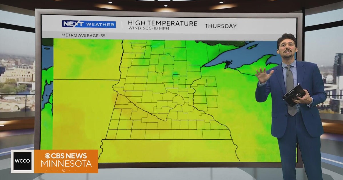 Minnesota weather stays unusually warm, with highs 15 to 20 degrees above normal | Oct. 20, 2026
CBS News Minnesota weather stays unusually warm, with highs 15 to 20 degrees above normal | Oct. 20, 2026 Preview: Golf 101 at Park 365 in Roseville Twin Cities man, 18, accused in MOA terror plot, and more headlines…
-
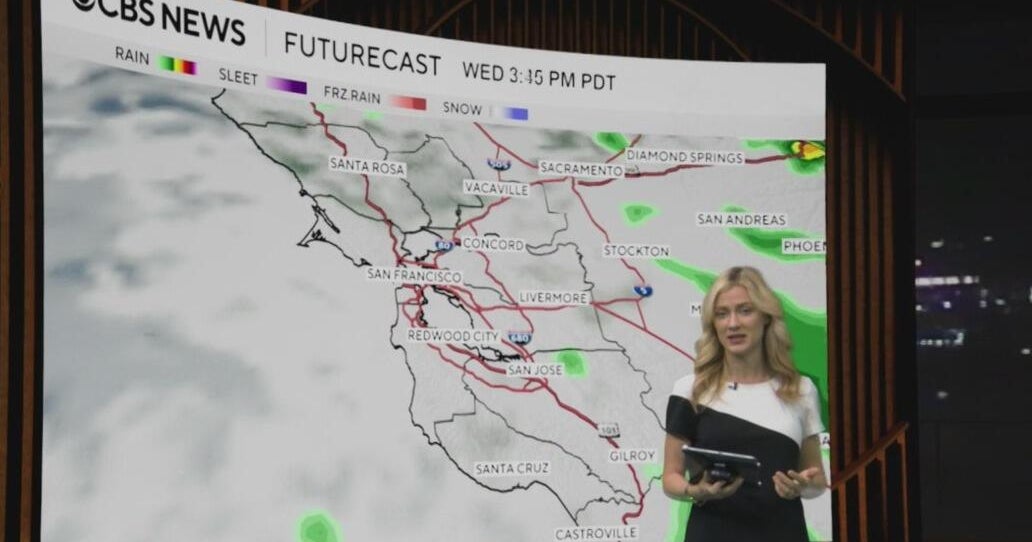 Tuesday morning First Alert weather forecast with Jessica Burch - 10/20/26
CBS News Bay Area is a local news organization that is part of CBS News and Stations. Also referred to as KPIX-TV and channel 5, CBS News Bay Area offers local breaking news, weather coverage and investigative…
-
 Powerful nor’easter churning up the East Coast
A powerful nor’easter is churning up the East Coast and is on track to bring several days of heavy rain, flooding and strong winds. The storm is expected to stay far enough offshore that the heaviest rain will likely…
-
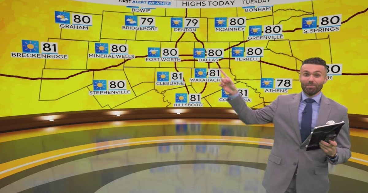 Great weather in North Texas this week
CBS News Baltimore 8am CBS News Boston 8am CBS News Chicago 7am CBS News Colorado This Morning 6am CBS News Los Angeles Mornings 5am CBS News Miami 8am CBS News New York 8am CBS News Texas 7am
-
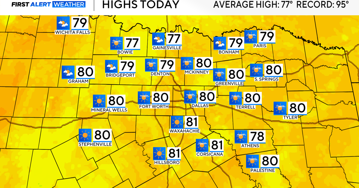 Temperatures climb into 80s as rain chances remain slim across North Texas
Updated on: October 20, 2026 / 7:28 AM CDT / CBS Texas It's another crisp fall morning, Tuesday, with temperatures in the 40s and 50s across North Texas. Have the light jacket handy and grab your sunglasses for the…
-
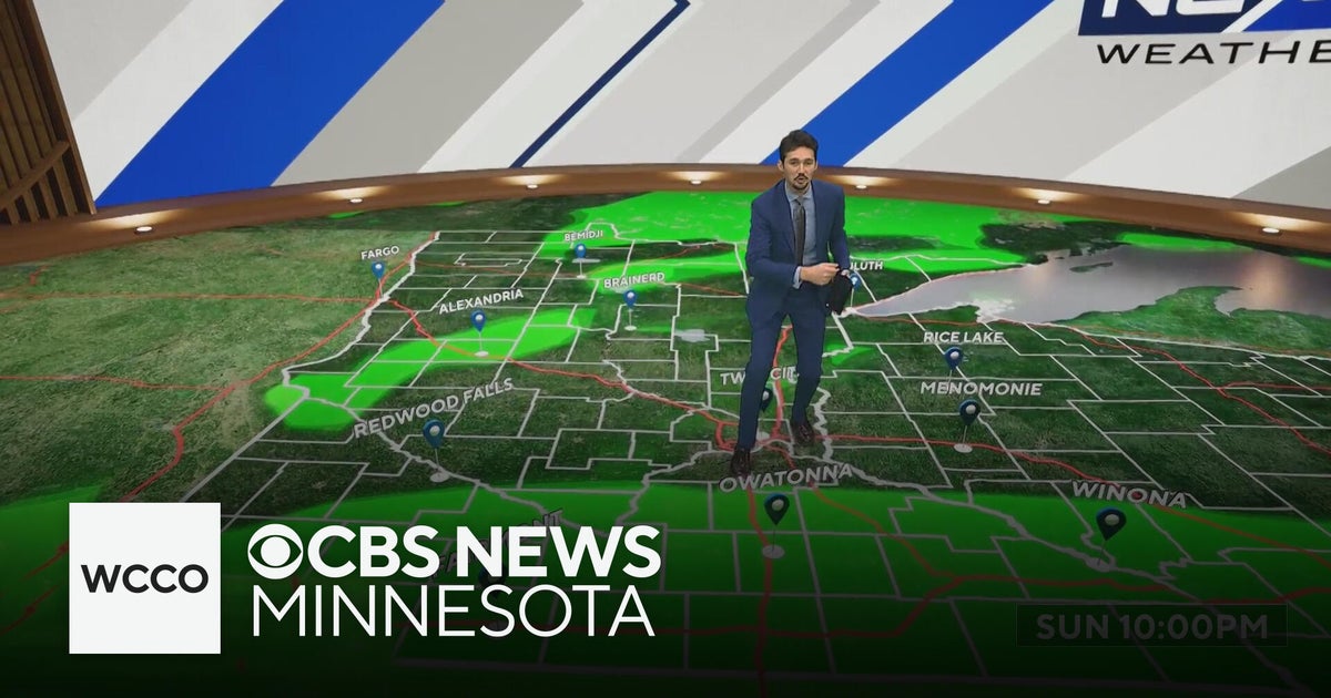 More sunny, mild late October weather in Minnesota | Oct. 20, 2026
CBS News Baltimore 8am CBS News Boston 8am CBS News Chicago 7am CBS News Colorado This Morning 6am CBS News Los Angeles Mornings 5am CBS News Miami 8am CBS News New York 8am CBS News Texas 7am
-
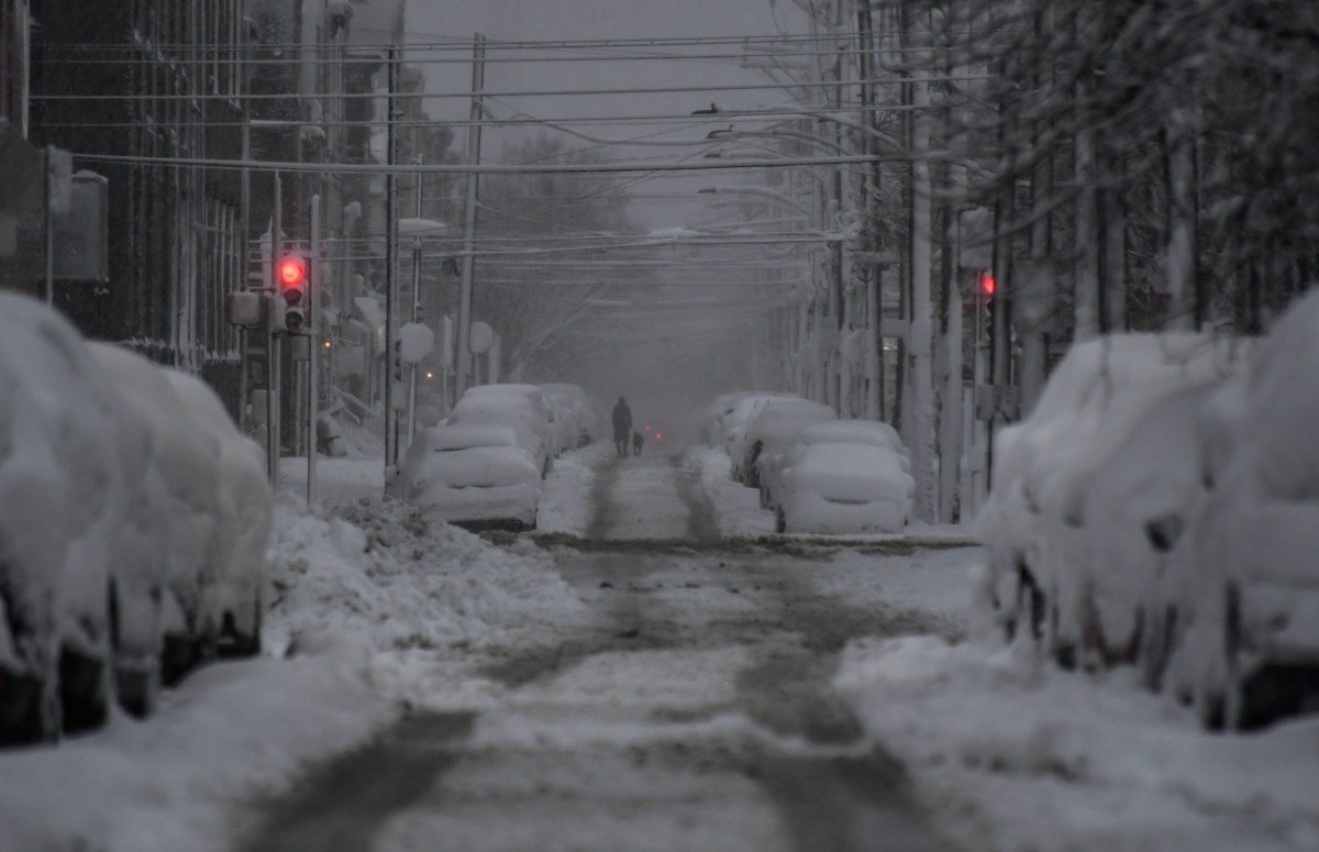 How US Winter Snow Forecasts Compare as El Niño Strengthens
Oct 20, 2026 at 08:00 AM EDT Winter snow forecasts are painting a mixed picture across the United States, as forecasters expect a strengthening El Niño to influence the upcoming season. While AccuWeather expects…
-
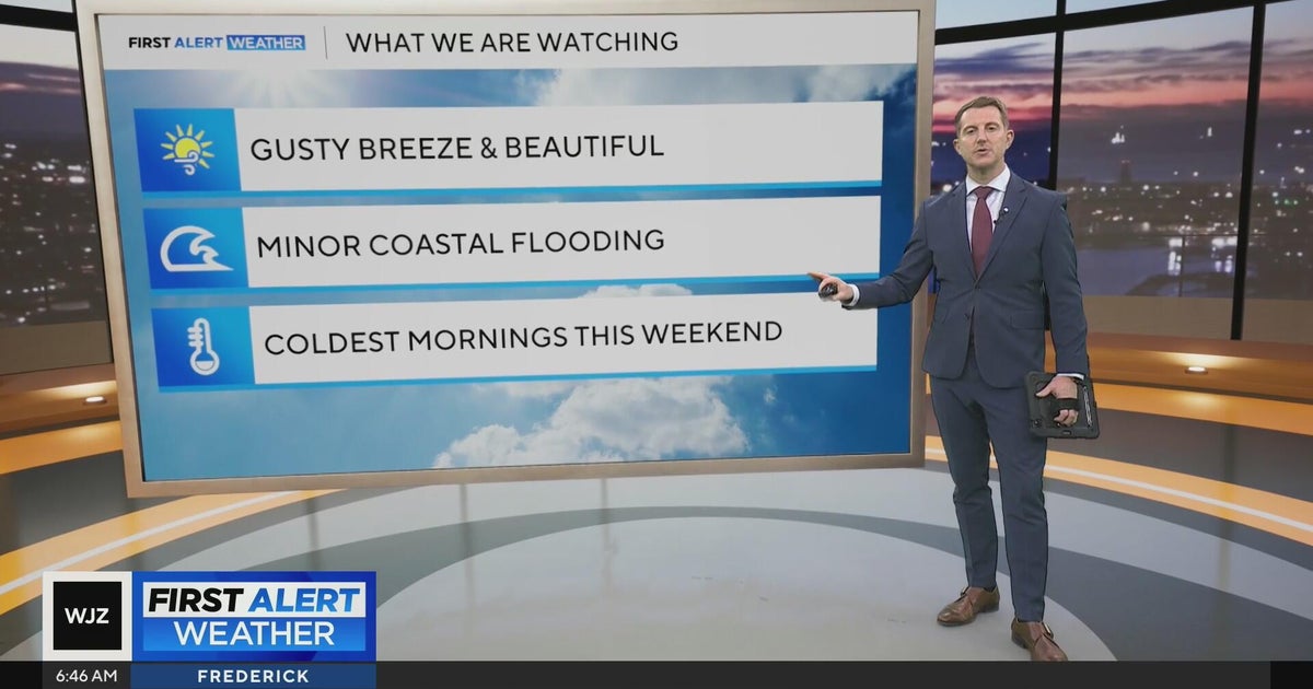 Beautiful stretch of weather in Maryland this week
CBS News Beautiful stretch of weather in Maryland this week Baltimore police investigate reported shooting along Belair Road Cool, nice, breezy weather continues in Maryland 1 killed in triple shooting near NW Baltimore…
-
 Strong winds could damage trees and disrupt travel
Storm Goretti brought trees down across the island earlier this year Forecasters have warned that severe weather this week could bring tree branches down and disrupt travel. Jersey Met, external has forecast that winds…
Sun & moon
Nearby
- Willemstad 12 km
- Bandariba 19 km
- Bandabou 16 km
- Santa Rosa 12 km
- Sint Michiel Liber 1 km
- Brievengat 10 km
- Tera Kora 10 km
- Barber 18 km
- Dorp Soto 20 km
Forecasts, observations and alerts in the United States come from the National Weather Service (NOAA); radar from NOAA's Multi-Radar Multi-Sensor system; satellite imagery from NASA's Global Imagery Browse Services (GIBS) and NOAA's GOES satellites; the map from the U.S. Geological Survey's National Map; air quality from AirNow (EPA and its partners); hurricane information from the National Hurricane Center; climate normals and records from NOAA's Regional Climate Centers (ACIS). Forecasts outside the United States and the UV index: MET Norway (CC BY 4.0); observations outside the U.S.: airport reports via NOAA's Aviation Weather Center. Place names: GeoNames (CC BY 4.0). Data are copied on a schedule and may lag the sources; for warnings that affect your safety, follow your local National Weather Service office and emergency officials. Weather news is drawn from the 4Conservative index and reflects what the press published. Terms of use.