Install
Río Cauto, Granma Province, Cuba Weather
Current conditions
Forecast for this hour (no station report in the last two hours)
Forecast
10-day-
Wednesday
Heavy showers. High 31°. Precipitation 9.0 mm for the day.
-
Wednesday Night
Rain. Low 23°. Precipitation 9.0 mm for the day.
-
Thursday
Showers. High 31°. Precipitation 1.7 mm for the day.
MET Norway forecast updated 7 hrs ago.
Hourly
Hourly forecast- Now23°
- 06:0023°
- 07:0023°
- 08:0023°
- 09:0025°
- 10:0026°
- 11:0028°
- 12:0029°
- 13:0030°
- 14:0031°
- 15:0031°1.7
- 16:0026°1.1
- 17:0025°5.2
- 18:0023°0.7
- 19:0023°0.2
- 20:0023°
- 21:0023°
- 22:0023°
- 23:0023°
- Thu00:0022°
- 01:0022°
- 02:0022°
- 03:0022°
- 04:0022°
Daily forecast
DetailsRadar
Full mapWeather news in Cuba
More weather news-
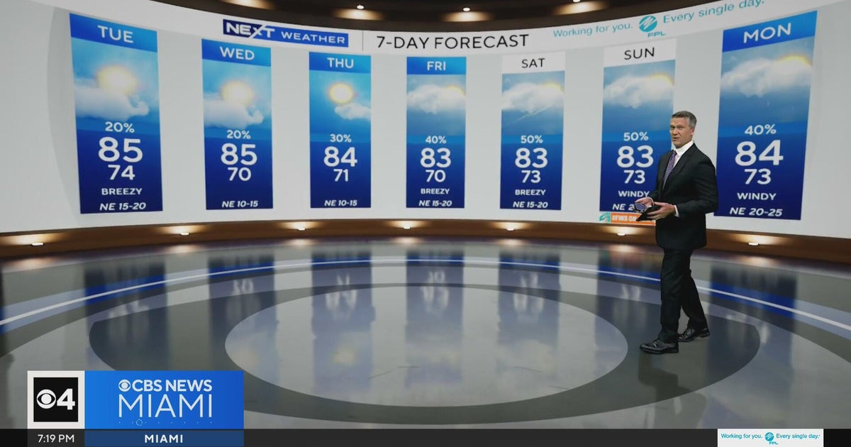 Temperatures lower to the early 80s and late 70s throughout South Florida
CBS News Miami is a local news organization that is part of CBS News and Stations. Also referred to as WFOR-TV and channel 4, CBS News Miami offers local breaking news, weather coverage and investigative reporting…
-
 Mainly Sunny Days Ahead: Dry Pattern Holds Through the Week | October 19, 2026
High temperatures this week will be in the 70s and 80s, generally near or slightly above normal for mid-to-late October. No rain is expected in East Texas through the end of the week. Sunny to mostly sunny skies are in…
-
 Mainly sunny days ahead, dry pattern holds through the week
High temperatures this week will be in the 70s and 80s, generally near or slightly above normal for mid-to-late October. No rain is expected in East Texas through the end of the week. Sunny to mostly sunny skies are in…
-
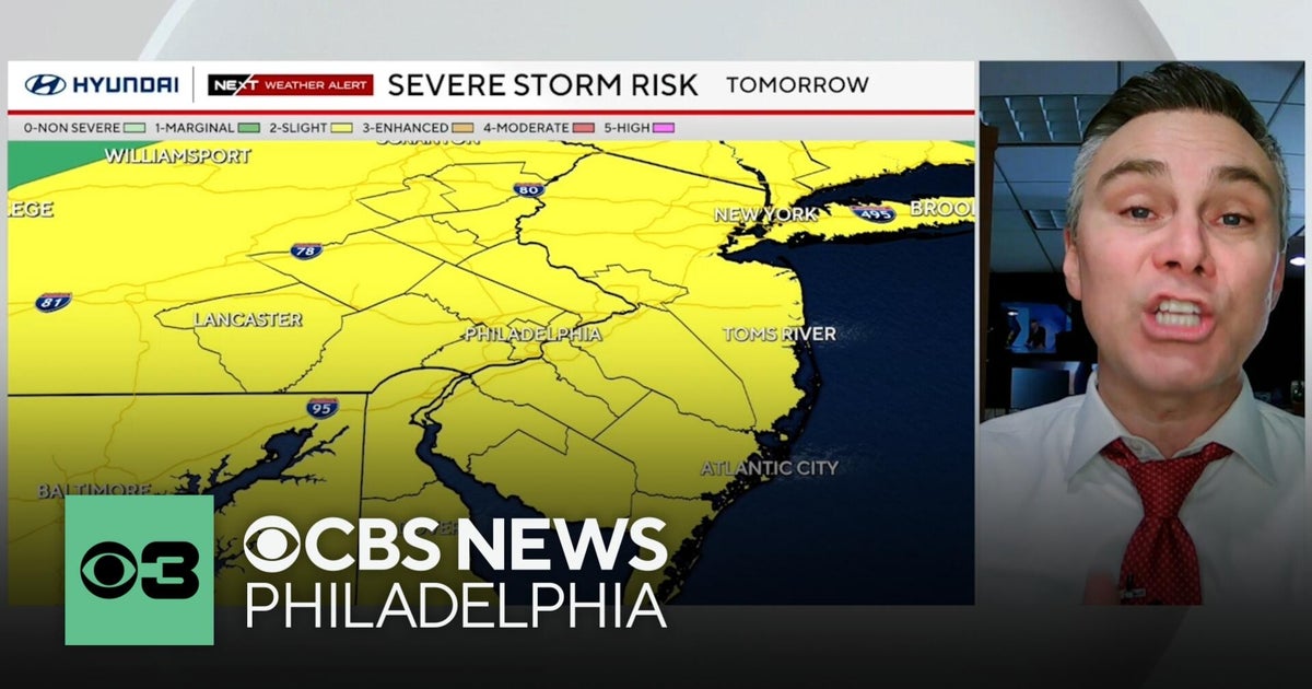 Timing out Friday's severe weather risk in the Philadelphia region
The Philadelphia region has a severe weather risk for Friday — and some of the threats might have a direct impact on you. CBS News Philadelphia Chief Meteorologist Bill Kelly has everything you need to know to keep you…
-
 Havana Weather for October 15-21
Havana Times Afternoon thunderstorms through Saturday, with highs dropping starting Sunday HAVANA TIMES – A frontal trough near Cuba’s northwestern coast brought light to moderate rainfall to Havana on Tuesday…
-
 WEATHER VAULT: El Niño Hurricanes - Gladys 1968
MEMPHIS, Tenn. (WMC) - The Niño 2.4 region averaged 0.5 degrees Celsius, or nearly a degree Fahrenheit, above what is typical between September and November of 1968. That coincided with the landfall of Category 2…
-
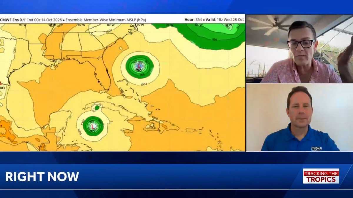 Tropics: No immediate threat in wake of deadly Isaias, but hurricane season isn’t over
Tracking the Tropics airs each week. Download the WJCL app for updates on the tropics: Apple, Google Play WJCL's Chief Meteorologist Jeremy Nelson, in Savannah, is teaming up with WESH Meteorologist Eric Burris, in…
Sun & moon
Nearby
- Las Tunas 45 km
- Bayamo 35 km
- Manzanillo 32 km
- Bartolomé Masó 44 km
- Jobabo 55 km
- Jiguaní 55 km
- Yara 32 km
- Campechuela 52 km
- Cauto Cristo 46 km
- Guisa 52 km
Forecasts, observations and alerts in the United States come from the National Weather Service (NOAA); radar from NOAA's Multi-Radar Multi-Sensor system; satellite imagery from NASA's Global Imagery Browse Services (GIBS) and NOAA's GOES satellites; the map from the U.S. Geological Survey's National Map; air quality from AirNow (EPA and its partners); hurricane information from the National Hurricane Center; climate normals and records from NOAA's Regional Climate Centers (ACIS). Forecasts outside the United States and the UV index: MET Norway (CC BY 4.0); observations outside the U.S.: airport reports via NOAA's Aviation Weather Center. Place names: GeoNames (CC BY 4.0). Data are copied on a schedule and may lag the sources; for warnings that affect your safety, follow your local National Weather Service office and emergency officials. Weather news is drawn from the 4Conservative index and reflects what the press published. Terms of use.