Install
Uramita, Antioquia, Colombia Weather
Current conditions
Forecast for this hour (no station report in the last two hours)
Forecast
10-day-
Friday
Heavy showers. High 30°. Precipitation 14.4 mm for the day.
-
Friday Night
Light rain. Low 20°. Precipitation 14.4 mm for the day.
-
Saturday
Rain. High 27°. Precipitation 1.6 mm for the day.
MET Norway forecast updated 4 hrs ago.
Hourly
Hourly forecast- Now22°
- 06:0023°
- 07:0024°
- 08:0026°
- 09:0028°
- 10:0029°0.2
- 11:0030°0.7
- 12:0029°1.3
- 13:0027°5.0
- 14:0026°4.2
- 15:0025°1.3
- 16:0024°1.0
- 17:0024°0.5
- 18:0024°
- 19:0024°
- 20:0024°
- 21:0023°
- 22:0024°
- 23:0023°
- Sat00:0023°
- 01:0023°
- 02:0022°
- 03:0022°
- 04:0022°
Daily forecast
DetailsRadar
Full mapWeather news in Colombia
More weather news-
 Rain returns to Modesto area. What’s ahead going into next week?
The first measurable precipitation since late May arrived in Modesto on Wednesday afternoon. The National Weather Services predicts less than a 10th of an inch during the day. There will be a clearing later into the…
-
 Cool mornings, mild afternoons continue with dry weather ahead
(WSPA)—More cool mornings and mild afternoons ahead, and we stay clear and dry. Wednesday's highs reach the low to mid 70s for much of the area. Temperatures dip into the mid-40s and near 40 in the mountains, under a…
-
 LatAm Expat & Nomad Daily Guide for Tuesday, October 20, 2026
LatAm Expat & Nomad Daily Guide — Tuesday, October 20, 2026 As of 12:30 a.m. US Eastern Time (ET) · 1:30 a.m. Brasília, Tuesday 20 October 2026 · storm bulletin to Monday night, rates to the latest published fixing…
-
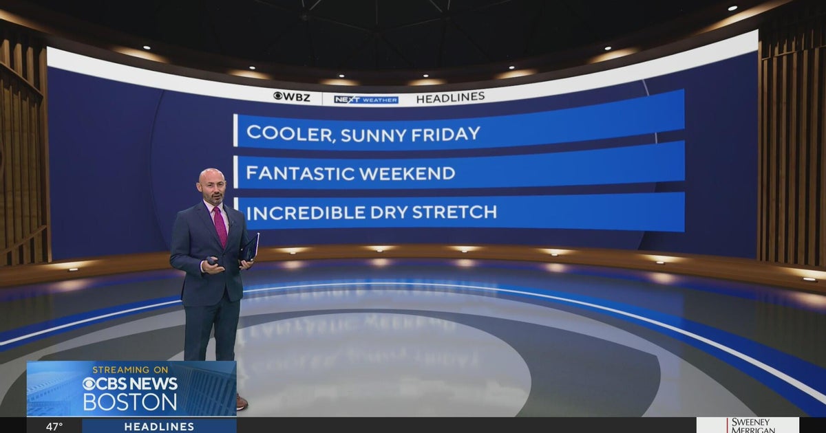 Next Weather: WBZ morning forecast for Oct. 23, 2026
WBZ This Morning 5am CBS News Detroit 5am CBS News Miami 5am CBS News Philadelphia 5am KDKA-TV Morning News 5am
-
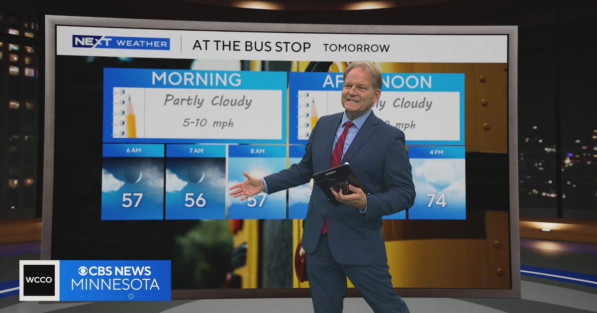 Minnesota sees chances for rain and more seasonable temps soon | Next Weather 10 p.m. Oct. 22, 2026
CBS News Minnesota is a local news organization that is part of CBS News and Stations. Also referred to as WCCO-TV and channel 4, CBS News Minnesota offers local breaking news, weather coverage and investigative…
-
 Slaughden Quay
Tides for Slaughden Quay, East of England - BBC Weather BBC Right now, the tide in Slaughden Quay is Tide tables for the next 7 days For more information, please see FAQs. © Crown copyright and database right
-
 Pensacola's Halloween weather forecast calls for warm, dry night
Pensacola's weather forecast for Halloween night is expected to be fairly normal, if not slightly warmer than usual, according to the latest forecasts. Halloween temperatures in the Florida Panhandle usually jump…
-
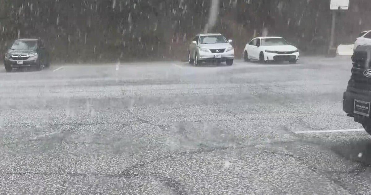 Inland Empire extreme weather for the day included hail in Crestline
October 22, 2026 / 6:05 PM PDT / CBS LA Severe weather, including hail and heavy rain, impacted the Inland Empire, prompting emergency response efforts on Thursday. Intermittent hail, rain, lightning, and wind hit the…
-
 Amber warning in place as Storm Austen hits parts of UK
An amber weather warning has come into force in parts of the UK as Storm Austen brings a swathe of powerful winds and heavy rain on Friday. South West England is forecast to be worst hit by the storm which the Met…
-
 Vermont ski mountains prepare to open as winter weather looms
A ski resort in Colorado unveils preserved snow from last season to provide a rare opportunity for thousands, skiing in October. Chris Miller, the sustainability senior VP at Aspen One, joins FOX Weather to talk about…
Sun & moon
Nearby
- Ituango 54 km
- Santa Fe de Antioquia 54 km
- Dabeiba 15 km
- Frontino 15 km
- Cañasgordas 23 km
- Mutatá 48 km
- Liborina 47 km
- Peque 32 km
- San Andrés 54 km
- San José de la Montaña 54 km
- Sabanalarga 40 km
- Buriticá 36 km
Forecasts, observations and alerts in the United States come from the National Weather Service (NOAA); radar from NOAA's Multi-Radar Multi-Sensor system; satellite imagery from NASA's Global Imagery Browse Services (GIBS) and NOAA's GOES satellites; the map from the U.S. Geological Survey's National Map; air quality from AirNow (EPA and its partners); hurricane information from the National Hurricane Center; climate normals and records from NOAA's Regional Climate Centers (ACIS). Forecasts outside the United States and the UV index: MET Norway (CC BY 4.0); observations outside the U.S.: airport reports via NOAA's Aviation Weather Center. Place names: GeoNames (CC BY 4.0). Data are copied on a schedule and may lag the sources; for warnings that affect your safety, follow your local National Weather Service office and emergency officials. Weather news is drawn from the 4Conservative index and reflects what the press published. Terms of use.