Install
Manaure Balcón del Cesar, Cesar Department, Colombia Weather
Current conditions
Observed at Valledupar/Pumerejo Arpt · 44 min ago
Forecast
10-day-
Sunday
Heavy showers. High 26°. Precipitation 29.4 mm for the day.
-
Sunday Night
Heavy rain. Low 22°. Precipitation 29.4 mm for the day.
-
Monday
Heavy rain. High 25°. Precipitation 23.9 mm for the day.
MET Norway forecast updated 1 day ago.
Hourly
Hourly forecast- Now25°1.0
- 12:0026°3.1
- 13:0025°3.5
- 14:0024°1.9
- 15:0025°1.7
- 16:0025°2.1
- 17:0024°1.0
- 18:0023°2.2
- 19:0023°1.3
- 20:0023°3.1
- 21:0023°4.7
- 22:0023°0.5
- 23:0023°
- Mon00:0023°0.4
Daily forecast
DetailsRadar
Full mapWeather news in Colombia
More weather news-
 Rain returns to Modesto area. What’s ahead going into next week?
The first measurable precipitation since late May arrived in Modesto on Wednesday afternoon. The National Weather Services predicts less than a 10th of an inch during the day. There will be a clearing later into the…
-
 Cool mornings, mild afternoons continue with dry weather ahead
(WSPA)—More cool mornings and mild afternoons ahead, and we stay clear and dry. Wednesday's highs reach the low to mid 70s for much of the area. Temperatures dip into the mid-40s and near 40 in the mountains, under a…
-
 LatAm Expat & Nomad Daily Guide for Tuesday, October 20, 2026
LatAm Expat & Nomad Daily Guide — Tuesday, October 20, 2026 As of 12:30 a.m. US Eastern Time (ET) · 1:30 a.m. Brasília, Tuesday 20 October 2026 · storm bulletin to Monday night, rates to the latest published fixing…
-
 Record number of Minnesotans expected to visit food shelves in 2026
More and more Minnesotans are reaching out for help to put food on the table. Last year, there were more than 9 million visits to food shelves in Minnesota. The nonprofit tracking those numbers tells our Conor Wight…
-
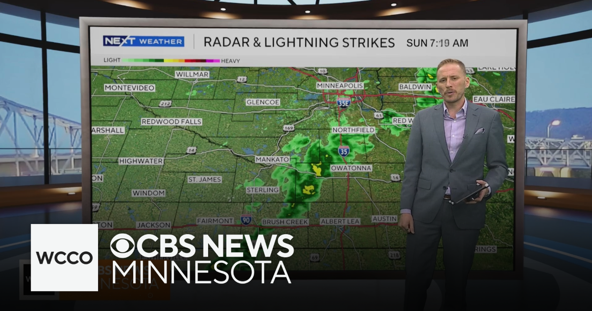 Cooler air returns to Minnesota, along with scattered showers | Oct. 25, 2026
CBS News Minnesota is a local news organization that is part of CBS News and Stations. Also referred to as WCCO-TV and channel 4, CBS News Minnesota offers local breaking news, weather coverage and investigative…
-
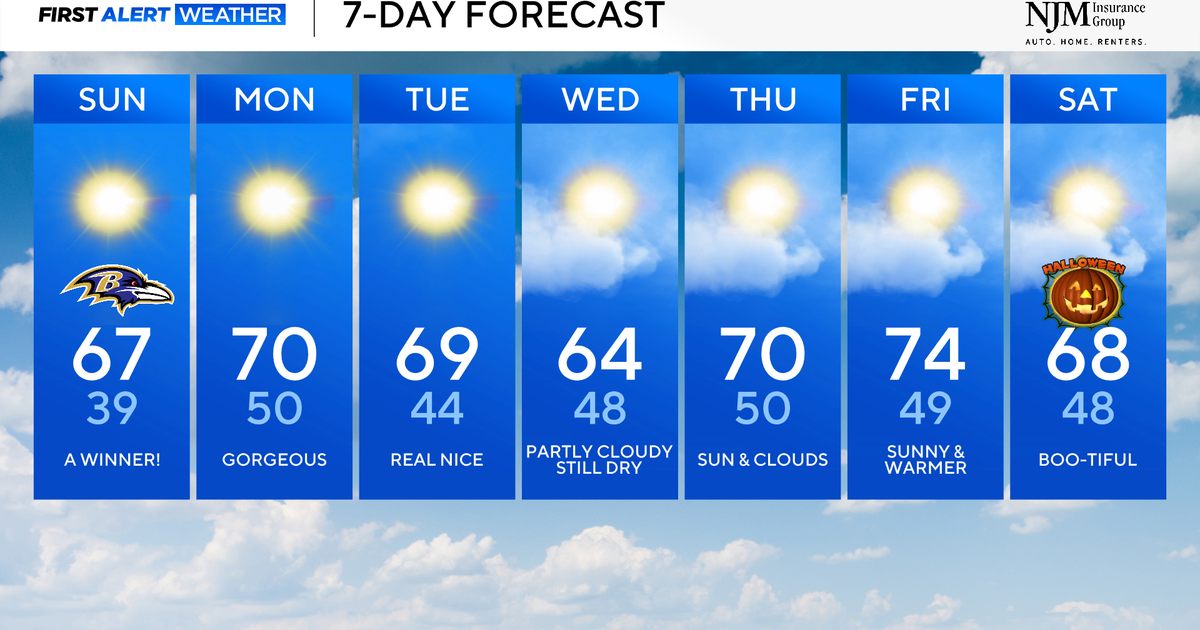 Sunny and pleasant fall weather ahead for Maryland
CBS News Baltimore is a local news organization that is part of CBS News and Stations. Also referred to as WJZ-TV and channel 13, CBS News Baltimore offers local breaking news, weather coverage and investigative…
-
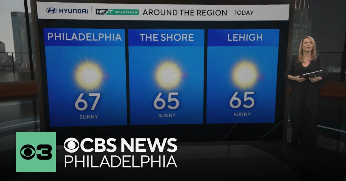 Fall foliage reaching its peak across Philadelphia area, more frosty mornings ahead | NEXT Weather
CBS News Bay Area Morning Edition Weekend 6am WBZ This Morning 8am CBS Colorado Mornings Weekend CBS News Los Angeles Weekend 6am CBS Miami News Sunday Morning CBS News New York Sunday 8am KDKA News This Morning Sunday…
-
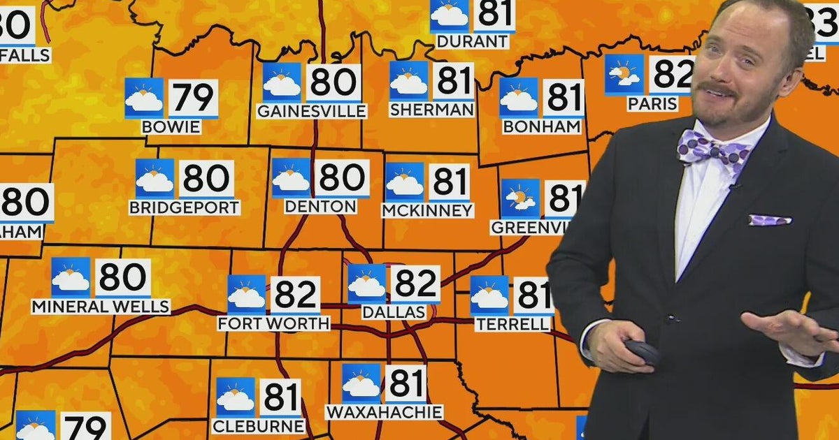 Warm, mild Sunday ahead for North Texas
CBS News Bay Area Morning Edition Weekend 6am WBZ This Morning 8am CBS Colorado Mornings Weekend CBS News Los Angeles Weekend 6am CBS Miami News Sunday Morning CBS News New York Sunday 8am KDKA News This Morning Sunday…
-
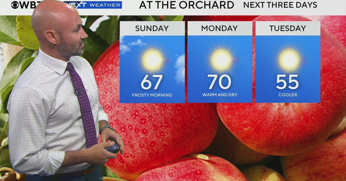 Next Weather: WBZ morning forecast for October 25, 2026
CBS News Bay Area Evening Edition 11pm WBZ This Morning 8am CBS News Chicago Sunday7am CBS Colorado Mornings Weekend CBS News Los Angeles Weekend 11pm WCCO News Sunday Morning 7am CBS News New York Sunday 8am KDKA News…
-
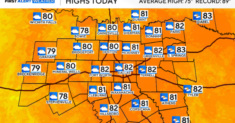 North Texas gets a warm, mild Sunday ahead of clouds and wind this week
October 25, 2026 / 6:51 AM CDT / CBS Texas Expect a warm and dry stretch of weather in North Texas over the next few days, with highs staying in the 80s, but we will see a pattern change as rain chances move in around…
Sun & moon
Nearby
- Valledupar 25 km
- Agustín Codazzi 45 km
- San Juan del Cesar 42 km
- Fonseca 58 km
- Villanueva 25 km
- San Diego 17 km
- La Paz 15 km
- Distracción 58 km
- Urumita 19 km
- El Molino 31 km
Forecasts, observations and alerts in the United States come from the National Weather Service (NOAA); radar from NOAA's Multi-Radar Multi-Sensor system; satellite imagery from NASA's Global Imagery Browse Services (GIBS) and NOAA's GOES satellites; the map from the U.S. Geological Survey's National Map; air quality from AirNow (EPA and its partners); hurricane information from the National Hurricane Center; climate normals and records from NOAA's Regional Climate Centers (ACIS). Forecasts outside the United States and the UV index: MET Norway (CC BY 4.0); observations outside the U.S.: airport reports via NOAA's Aviation Weather Center. Place names: GeoNames (CC BY 4.0). Data are copied on a schedule and may lag the sources; for warnings that affect your safety, follow your local National Weather Service office and emergency officials. Weather news is drawn from the 4Conservative index and reflects what the press published. Terms of use. How to use Weather