Install
Carolina, Antioquia, Colombia Weather
Current conditions
Forecast for this hour (no station report in the last two hours)
Forecast
10-day-
Wednesday Night
Rain. Low 17°. Precipitation 0.6 mm for the day.
-
Thursday
Heavy rain. High 24°. Precipitation 8.0 mm for the day.
-
Thursday Night
Light rain. Low 16°. Precipitation 8.0 mm for the day.
MET Norway forecast updated 2 hrs ago.
Hourly
Hourly forecast- Now18°0.5
- 21:0017°
- 22:0017°
- 23:0017°
- Thu00:0017°0.2
- 01:0017°0.2
- 02:0016°
- 03:0017°
- 04:0017°
- 05:0017°
- 06:0017°
- 07:0018°0.2
- 08:0019°
- 09:0021°
- 10:0023°0.2
- 11:0024°0.2
- 12:0023°0.3
- 13:0023°3.4
- 14:0019°1.6
- 15:0019°1.2
- 16:0019°0.4
- 17:0019°
- 18:0018°
- 19:0018°
10-day forecast
Details- TonightOct 21Rain0.6 mm17°18°
- ThuOct 22Heavy rain8.0 mm16°24°
- FriOct 23Heavy rain11.8 mm16°25°
- SatOct 24Heavy rain24.9 mm16°21°
- SunOct 25Heavy rain14.6 mm15°23°
- MonOct 26Heavy rain23.0 mm16°21°
- TueOct 27Heavy rain26.9 mm16°21°
- WedOct 28Heavy showers26.1 mm16°22°
- ThuOct 29Heavy rain17.9 mm16°22°
- FriOct 30Rain18.0 mm16°21°
Radar
Full mapWeather news near Carolina
More weather news-
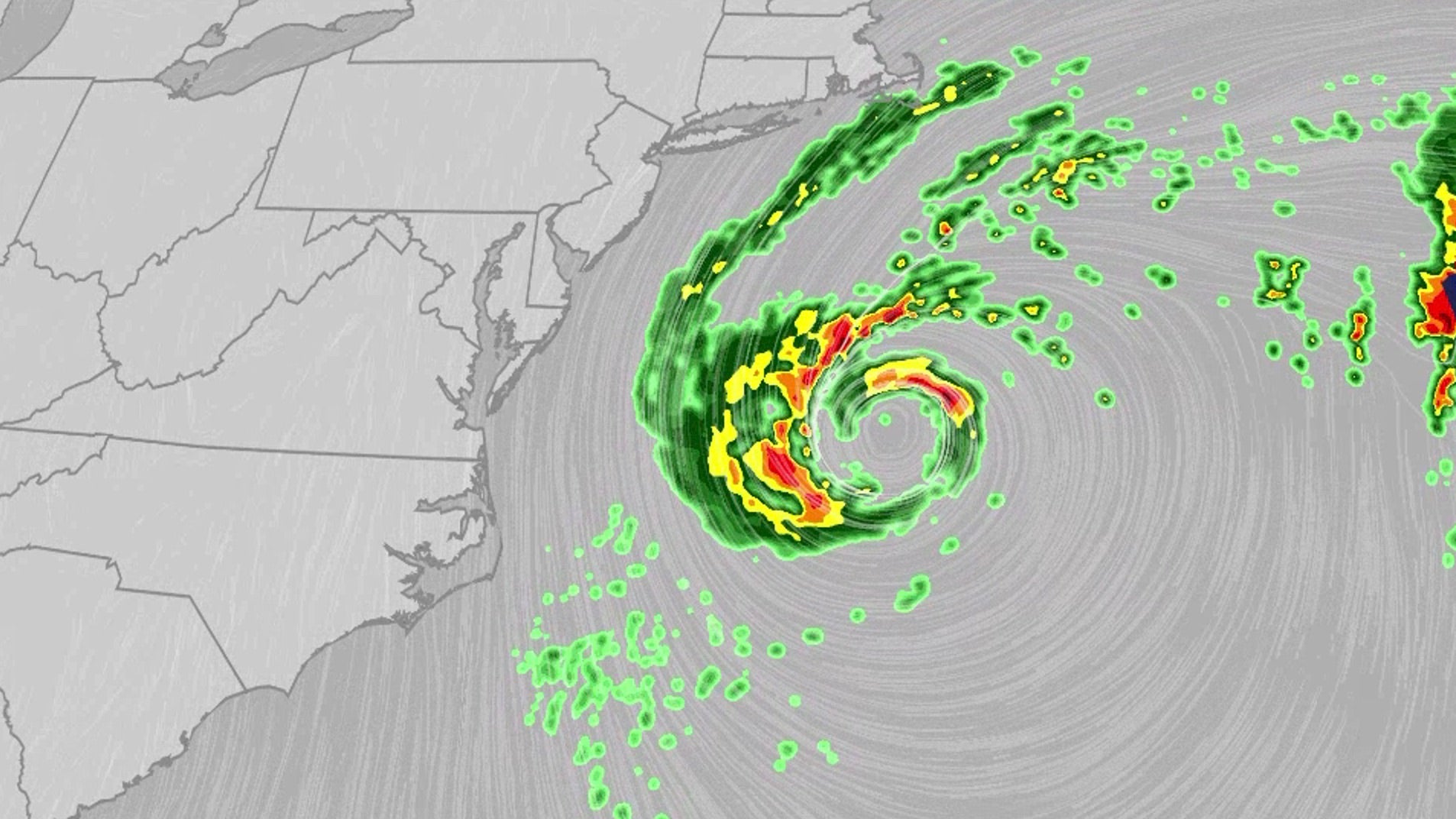 Nor'easter lashes coast from Carolinas to Northeast
An October nor'easter is meandering off the Atlantic coast, where it will bring high surf, rip currents, coastal flooding and winds to parts of the East Coast for several days this week. The National Hurricane Center…
-
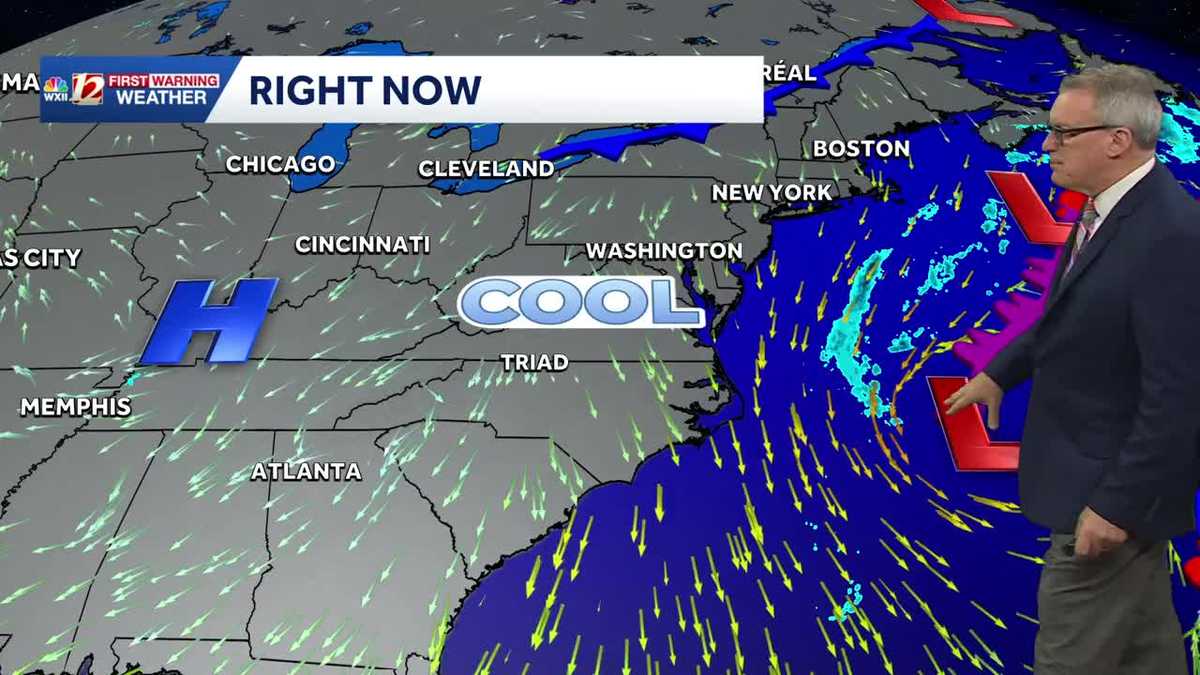 Sunny and seasonably cool weather across North Carolina this week
WXII Cold mornings will lead to seasonable, sunny afternoons in North Carolina this week Dress for 30s and 40s in the mornings Sunny weather will warm temperatures into the 60s and 70s in the afternoons Dry weather will…
-
 Beautiful Fall weather takes over the Western Carolinas
FOX Carolina News Beautiful Fall weather takes over the Western Carolinas Stretch of dry, pleasant days through this week Family remembers father killed when tree fell on home during Isaias remnants Beautiful fall…
-
 National Hurricane Center eyes subtropical development near Carolinas, off SWFL coast
WINK News A new outlook was just released from the National Hurricane Center tonight, not only increasing potential tropical formation chances but giving us our latest area of investigation This spin is present near due…
-
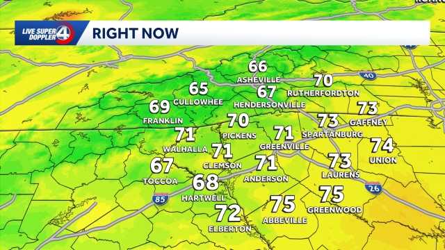 Quiet weather ahead this week in South Carolina: October 19 forecast
Sunshine and comfortable temperatures expected this week in the Upstate. The forecast remains quiet this week as a high pressure keeps the area dry. Highs sit in the 70s with lows in the 40s. The temperatures will be…
- Seasonal conditions for the week ahead in the Carolinas: Forecast here
CHARLOTTE, N.C. (WBTV) - We are giving you the First Alert for a perfect stretch of fall weather across the Charlotte region. After a chilly start Monday, Oct. 19 with temperatures around 40 in Charlotte and feels-like…
- Fall weather pattern takes hold in Carolinas after record-breaking highs: Forecast here
CHARLOTTE, N.C. (WBTV) - After Charlotte got its latest 90-degree day in recorded history last week, feels-like temperatures have started off in the 30s the past couple of mornings. Now that a new work and school week…
-
 Low pressure system off Carolina coast may bring high winds this week
WFTV Low pressure system off Carolina coast may bring high winds this week CENTRAL FLA. â An area of low pressure off the coast of the Carolinas has a 30% chance of developing over the next 7 days. It will have…
-
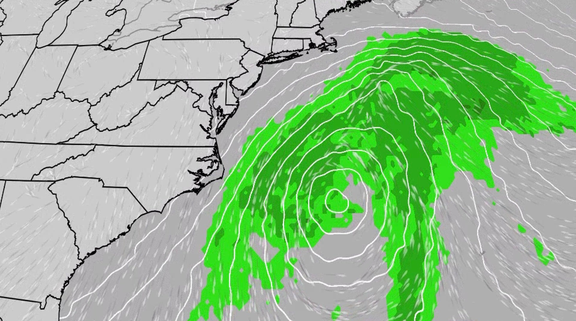 Nor'easter to churn up dangerous conditions for the East Coast
An October nor'easter is developing in the Atlantic, where it will bring high surf, rip currents, coastal flooding and winds to parts of the East Coast for several days this week. The National Hurricane Center has…
-
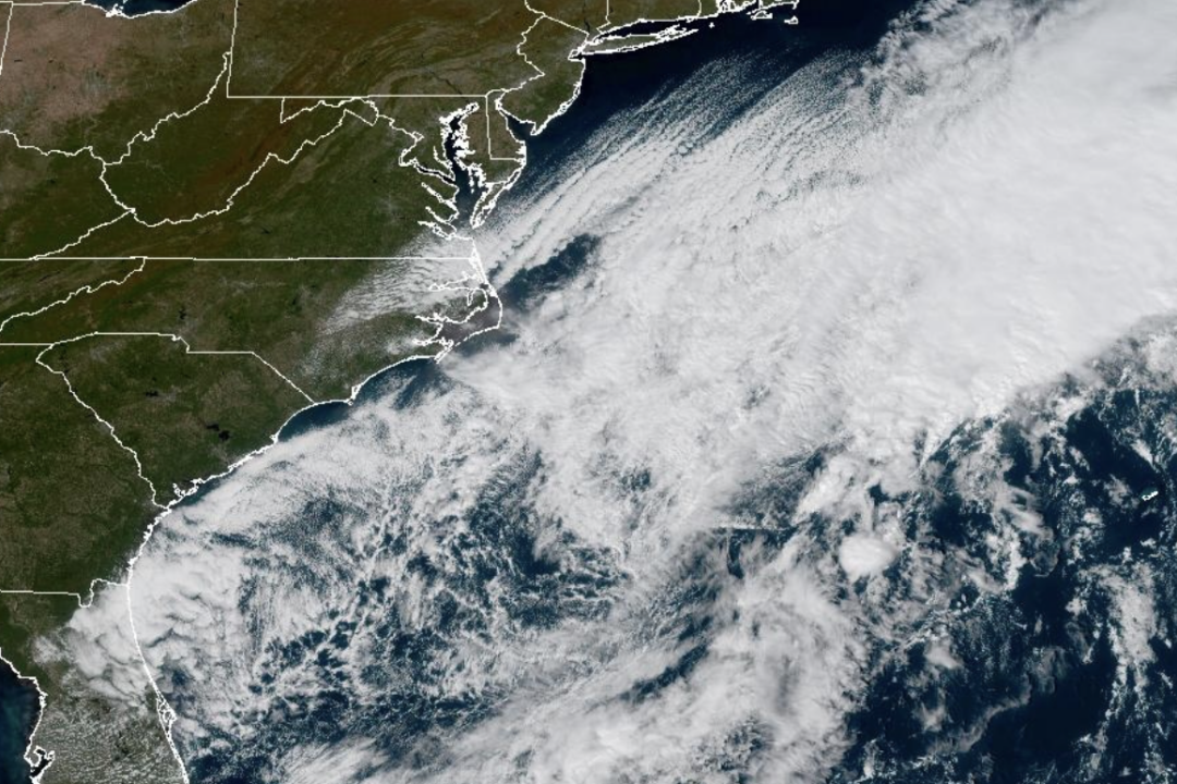 Weather System Off North Carolina Could Become Nor’Easter or Tropical Storm: What to Know
The National Weather Service and its National Hurricane Center are tracking a storm system sitting off the coast of North Carolina that has the opportunity to become either a proper Nor’easter or a Tropical Storm and is…
Sun & moon
Nearby
- Bello 53 km
- Barbosa 32 km
- Copacabana 49 km
- Santa Rosa de Osos 22 km
- Yarumal 30 km
- San Vicente 49 km
- Guarne 53 km
- Donmatías 29 km
- San Jerónimo 58 km
- San Rafael 56 km
- Santo Domingo 31 km
- Amalfi 31 km
Forecasts, observations and alerts in the United States come from the National Weather Service (NOAA); radar from NOAA's Multi-Radar Multi-Sensor system; satellite imagery from NASA's Global Imagery Browse Services (GIBS) and NOAA's GOES satellites; the map from the U.S. Geological Survey's National Map; air quality from AirNow (EPA and its partners); hurricane information from the National Hurricane Center; climate normals and records from NOAA's Regional Climate Centers (ACIS). Forecasts outside the United States and the UV index: MET Norway (CC BY 4.0); observations outside the U.S.: airport reports via NOAA's Aviation Weather Center. Place names: GeoNames (CC BY 4.0). Data are copied on a schedule and may lag the sources; for warnings that affect your safety, follow your local National Weather Service office and emergency officials. Weather news is drawn from the 4Conservative index and reflects what the press published. Terms of use.