Install
Melong, Littoral, Cameroon Weather
Current conditions
Forecast for this hour (no station report in the last two hours)
Forecast
10-day-
Wednesday
Rain. High 28°. Precipitation 8.2 mm for the day.
-
Wednesday Night
Heavy rain. Low 21°. Precipitation 8.2 mm for the day.
-
Thursday
Heavy showers. High 28°. Precipitation 11.8 mm for the day.
MET Norway forecast updated 1 hr ago.
Hourly
Hourly forecast- Now23°
- 09:0025°
- 10:0027°
- 11:0028°0.3
- 12:0028°0.3
- 13:0027°
- 14:0028°
- 15:0027°
- 16:0026°0.2
- 17:0025°0.2
- 18:0023°0.4
- 19:0022°
- 20:0022°0.7
- 21:0021°2.6
- 22:0021°2.6
- 23:0021°0.8
- Thu00:0021°1.1
- 01:0021°0.3
- 02:0020°0.6
- 03:0020°0.2
- 04:0020°
- 05:0020°
- 06:0020°
- 07:0021°
Daily forecast
DetailsRadar
Full mapWeather news
More weather news-
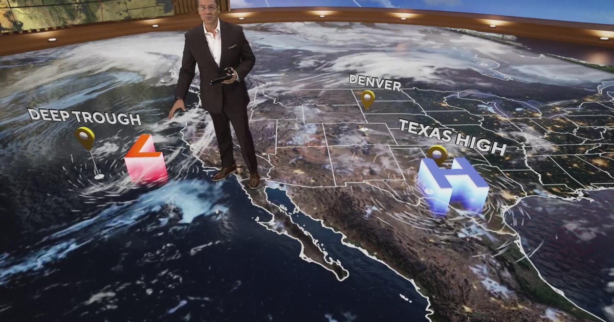 More clouds for Front Range with flooding rains heading to southwest Colorado
CBS News More clouds for Front Range with flooding rains heading to southwest Colorado MS misdiagnoses raise concerns, Colorado doctors warn of unnecessary treatment risks College bound Coloradans get ready for state…
-
 Latest Forecast with Chief Meteorologist Mike LaPoint
A quiet weather pattern is expected to continue through the week across North and Central Texas. High temperatures will steadily climb into the mid 80s with only some passing high clouds. No significant rain chances are…
-
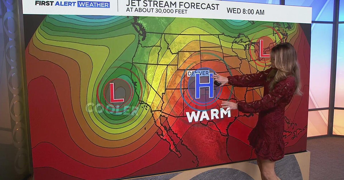 Staying warm and mild for the Denver metro with more mountain rain expected
CBS News Staying warm and mild for the Denver metro with more mountain rain expected Heavy rain, flash flooding expected in southwestern Colorado Colorado Department of Transportation trucks unveiled to protect…
-
 Sunny stretch of weather continues with fall-like temperatures
CBS News - The 5:33 | Legacy of the LIRR Massacre - On The Dot with David Schechter: Wildfires & Climate Change Sunny stretch of weather continues with fall-like temperatures Union workers locked out of largest East…
-
 Could a tornado hit Phoenix this week? Here’s what we’re watching.
There’s a relatively rare severe-weather risk on Wednesday in parts of Arizona and Southern California. The National Weather Service Storm Prediction Center has outlined a marginal (Level 1 out of 5) risk in an area…
-
 Foreign leaders endorse Miami Republican, sparking interference claims
There’s a relatively rare severe-weather risk on Wednesday in parts of Arizona and Southern California. The National Weather Service Storm Prediction Center has outlined a marginal (Level 1 out of 5) risk in an area…
-
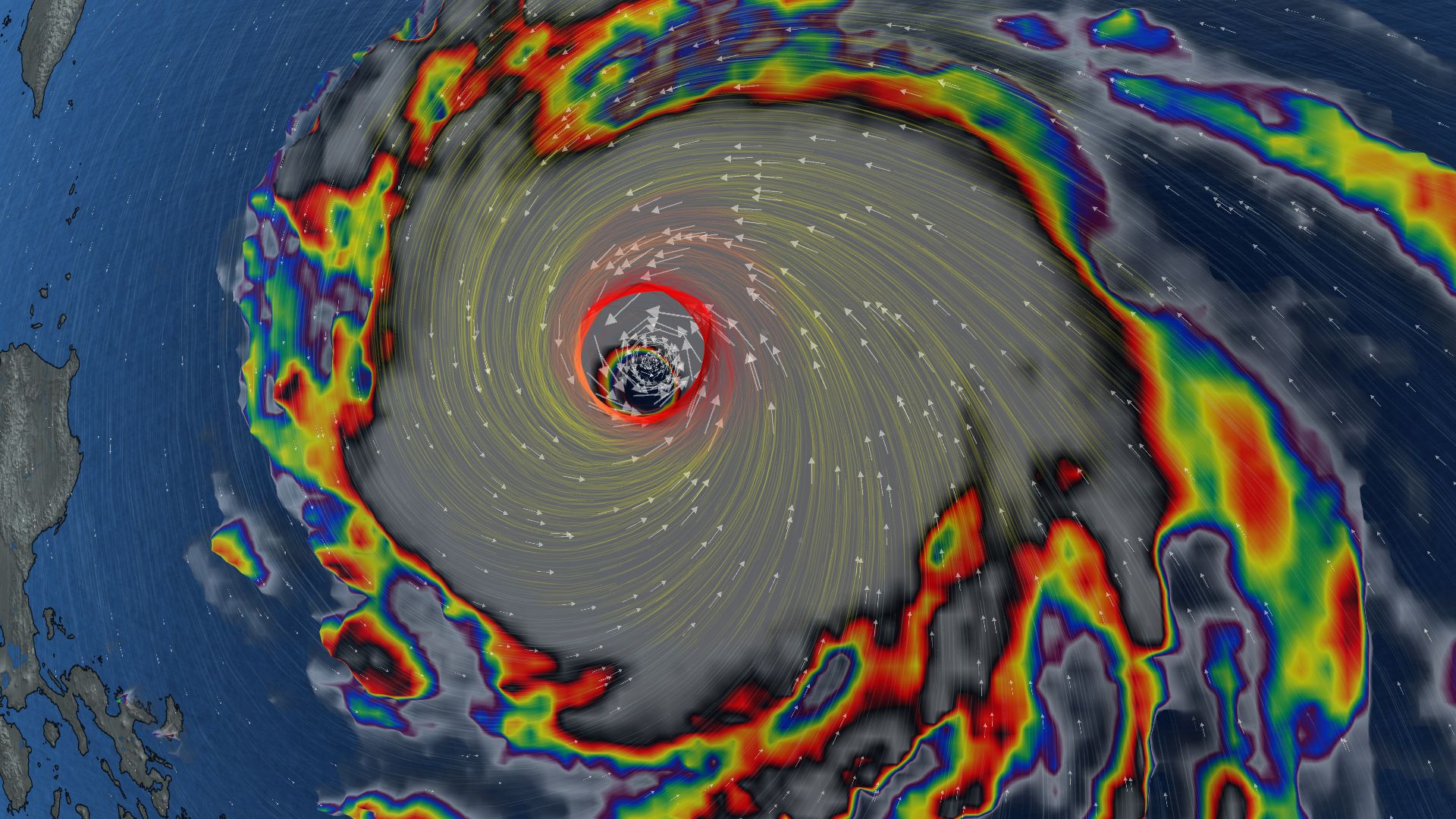 296 km/h: Super Typhoon Champi is now the strongest storm on Earth in 2026
In terms of wind speed, Super Typhoon Champi is the most powerful storm on Earth in 2026 so far, achieving the top storm spot with its peak winds of 296 km/h--the equivalent of a Category 5 storm Super Typhoon Champi…
-
 Trump confirms U.S. seeking return of retired teacher held in Russia
There’s a relatively rare severe-weather risk on Wednesday in parts of Arizona and Southern California. The National Weather Service Storm Prediction Center has outlined a marginal (Level 1 out of 5) risk in an area…
-
 Will Thanksgiving bring snow, rain or sunshine? Farmers’ Almanac reveals its 2026 outlook
Winter is near, and super El Niño is forecast to make it quite a winter to remember. FOX Weather Meteorologists Stephen Morgan, Bayne Froney, Britta Merwin and Craig Herrera break down the forecast and talk about past…
-
 Thanksgiving travel delays: Where weather risk is highest this year
Travelers wait in line at a security checkpoint in Terminal 3 at O'Hare International airport on November 30, 2025 in Chicago, Illinois. (Jim Vondruska via Getty Images) Millions will travel for Thanksgiving this year —…
Sun & moon
Nearby
Forecasts, observations and alerts in the United States come from the National Weather Service (NOAA); radar from NOAA's Multi-Radar Multi-Sensor system; satellite imagery from NASA's Global Imagery Browse Services (GIBS) and NOAA's GOES satellites; the map from the U.S. Geological Survey's National Map; air quality from AirNow (EPA and its partners); hurricane information from the National Hurricane Center; climate normals and records from NOAA's Regional Climate Centers (ACIS). Forecasts outside the United States and the UV index: MET Norway (CC BY 4.0); observations outside the U.S.: airport reports via NOAA's Aviation Weather Center. Place names: GeoNames (CC BY 4.0). Data are copied on a schedule and may lag the sources; for warnings that affect your safety, follow your local National Weather Service office and emergency officials. Weather news is drawn from the 4Conservative index and reflects what the press published. Terms of use.