Install
Villa Alegre, Maule Region, Chile Weather
Current conditions
Forecast for this hour (no station report in the last two hours)
Forecast
10-day-
Tuesday
Heavy rain. High 19°. Precipitation 22.3 mm for the day.
-
Tuesday Night
Heavy rain. Low 13°. Precipitation 22.3 mm for the day.
-
Wednesday
Heavy rain. High 21°. Precipitation 37.4 mm for the day.
MET Norway forecast updated 8 hrs ago.
Hourly
Hourly forecast- Now18°4.8
- 15:0017°1.8
- 16:0016°2.4
- 17:0015°3.8
- 18:0015°4.5
- 19:0014°1.7
- 20:0014°0.8
- 21:0013°
- 22:0013°
- 23:0013°0.3
- Wed00:0013°0.7
- 01:0013°0.3
- 02:0013°0.7
- 03:0012°0.4
- 04:0012°0.7
- 05:0012°2.8
- 06:0011°2.1
- 07:0012°3.8
- 08:0012°2.1
- 09:0013°1.5
- 10:0014°1.0
- 11:0016°0.6
- 12:0017°0.5
- 13:0020°0.3
Daily forecast
DetailsRadar
Full mapWeather news in Chile
More weather news-
 Dog gets the zoomies among peak New England foliage
Adorable dog gets the zoomies among colorful New England leaves The Weather Channel Adorable dog gets the zoomies among colorful New England leaves Adorable footage shows a dog bounding through piles of vibrant leaves…
-
 LatAm Expat & Nomad Daily Guide for Monday, October 19, 2026
LatAm Expat & Nomad Daily Guide — Monday, October 19, 2026 As of 12:30 a.m. US Eastern Time (ET) · 1:30 a.m. Brasília, Monday 19 October 2026 · storm bulletins to Sunday night, rates to the latest published fixing…
-
 Weather Of The World: October 18
A view of the Garonne River at a historically low level due to a lack of rainfall, successive summer heat waves and the prefecture's low-water management policy in Toulouse, in southwestern France, on Oct. 14, 2026…
-
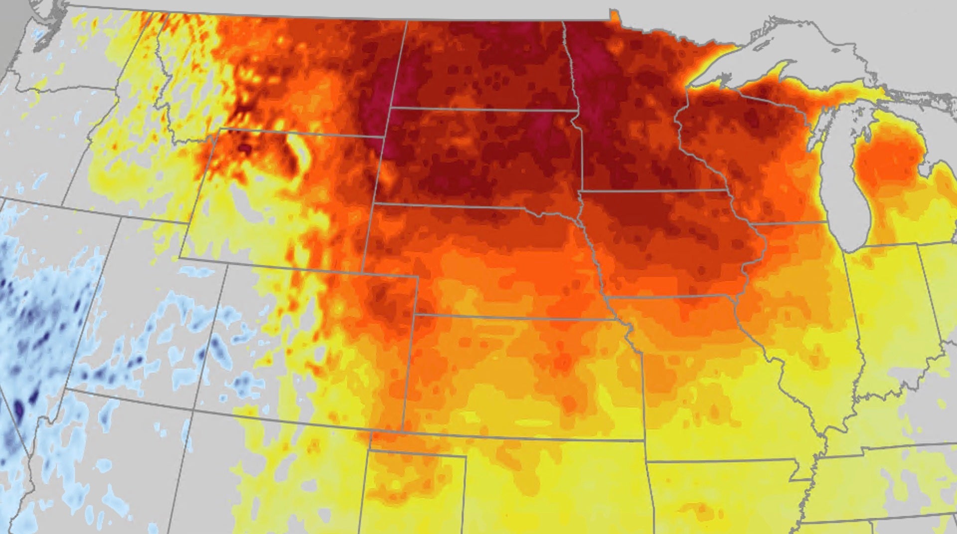 Warm fall temperatures build across Central US this week
The Weather Channel Pattern change brings back warm fall temperatures for Central US After a few days of chilly fall temperatures, a pattern change is bringing back the warm temperatures to the Central US. Heat will…
- 'Rarer Than Solar Eclipse': NASA Satellites Capture El Nino Intensification As India, World Brace For Extreme Weather
ALSO READ: El Nino Brings Unusual Rain In Dry Chile, Hides Sun For 14 Days In Tokyo: How Will It Affect India's Winter Season? The October tracking reveals that the event could become one of the strongest El Nino…
-
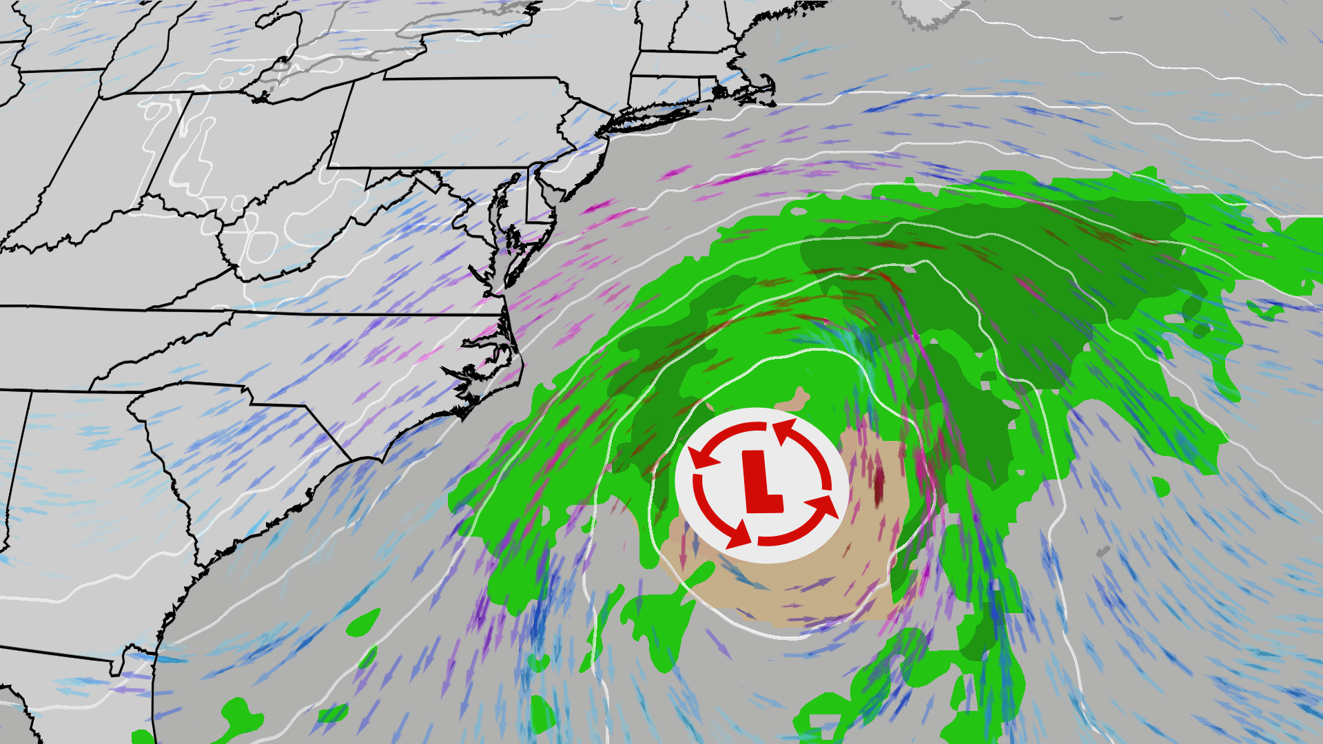 East Coast on alert; High surf, 50 mph gusts possible
The Weather Channel Nor’easter could bring beach erosion, gusty winds to East Coast An area off the East Coast is worth watching this weekend. Increased wave action and beach erosion are possible along areas already hit…
-
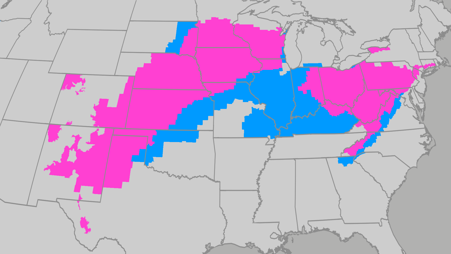 Over 80 million people under frost and freeze alerts
The Weather Channel Temps drop for millions across the Central Plains, Midwest, Northeast A powerful cold front has brought a major taste of fall to millions across the East. Many across the South and East will feel…
-
 SnowBrains Forecast: South America’s Central Andes Set for 25-40 cm
Steven Agar is the Chief Operating Officer of SnowBrains (est. 2013), the world's largest award-winning independent snowsports media outlet. Based in Cumbria, UK, Steven oversees editorial operations, SEO, ad revenue…
-
 Frost flowers: how to find ice ribbons on plants at dawn
The Weather Channel Look down this weekend: frost flowers could bloom at your feet A hard freeze after a warm week could grow frost flowers, thin curling ribbons of ice, on plant stems across the Ozarks and the Ohio and…
-
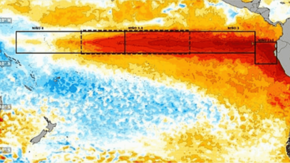 Terrifying new images show Super El Nino developing into 'strongest weather event for 1,000 years'
'El Nino is one of a number of large-scale atmospheric drivers that influence weather patterns in the UK and Europe,' the Met Office says A huge area of unusually warm water appears to be spreading across the Pacific…
Sun & moon
Nearby
- Talca 29 km
- Linares 24 km
- San Javier 9 km
- San Clemente 28 km
- Longaví 33 km
- Parral 53 km
- Colbún 31 km
- San Rafael 46 km
- Pencahue 31 km
- Pelarco 42 km
- Maule 17 km
- Retiro 42 km
Forecasts, observations and alerts in the United States come from the National Weather Service (NOAA); radar from NOAA's Multi-Radar Multi-Sensor system; satellite imagery from NASA's Global Imagery Browse Services (GIBS) and NOAA's GOES satellites; the map from the U.S. Geological Survey's National Map; air quality from AirNow (EPA and its partners); hurricane information from the National Hurricane Center; climate normals and records from NOAA's Regional Climate Centers (ACIS). Forecasts outside the United States and the UV index: MET Norway (CC BY 4.0); observations outside the U.S.: airport reports via NOAA's Aviation Weather Center. Place names: GeoNames (CC BY 4.0). Data are copied on a schedule and may lag the sources; for warnings that affect your safety, follow your local National Weather Service office and emergency officials. Weather news is drawn from the 4Conservative index and reflects what the press published. Terms of use.