Install
Lo Prado, Santiago Metropolitan, Chile Weather
Current conditions
Observed at Santiago/Benítez Intl · 36 min ago
Forecast
10-day-
Thursday
Light showers. High 20°. Precipitation 3.3 mm for the day.
-
Thursday Night
Heavy showers. Low 13°. Precipitation 3.3 mm for the day.
-
Friday
Showers. High 18°. Precipitation 2.0 mm for the day.
MET Norway forecast updated 5 hrs ago.
Hourly
Hourly forecast- Now16°1.2
- 20:0014°0.6
- 21:0014°0.6
- 22:0013°0.2
- 23:0013°0.2
- Fri00:0012°
- 01:0012°
- 02:0012°0.5
- 03:0012°0.3
- 04:0012°0.2
- 05:0012°0.2
- 06:0011°
- 07:0010°
- 08:0011°
- 09:0011°
- 10:0012°
- 11:0013°
- 12:0014°
- 13:0016°
- 14:0017°
- 15:0018°
- 16:0018°
- 17:0018°0.3
- 18:0016°0.4
10-day forecast
Details- TodayOct 22Light showers3.3 mm13°20°
- FriOct 23Showers2.0 mm10°18°
- SatOct 24Light showers3.1 mm10°18°
- SunOct 25Cloudy7°24°
- MonOct 26Light rain1.2 mm13°19°
- TueOct 27Showers1.3 mm12°21°
- WedOct 28Partly cloudy11°25°
- ThuOct 29Partly cloudy0.5 mm14°25°
- FriOct 30Partly cloudy14°27°
- SatOct 31Showers1.9 mm13°24°
Radar
Full mapWeather news near Lo Prado
More weather news-
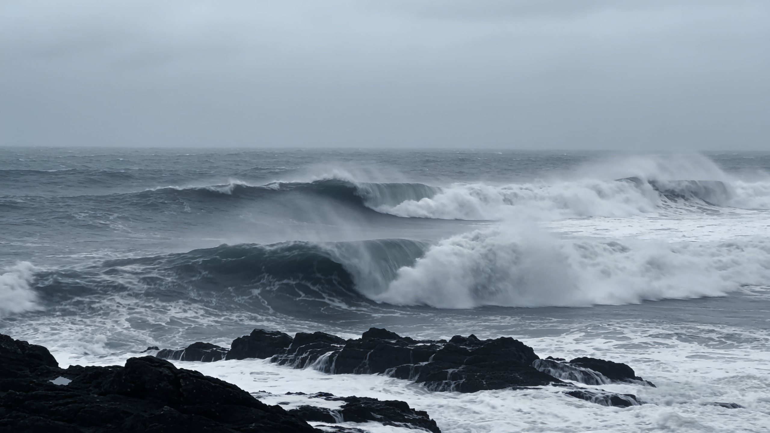 Polar jet may drive 100 km/h winds across northern Spain
A rapidly deepening low could bring gusts above 100 km/h to Galicia and the Cantabrian coast between Thursday and Friday. Waves may reach 10 metres as temperatures fall. The cold will be most noticeable overnight and in…
- Vaguada forecast will cause rain starting this afternoon: Over which provinces?
Last update on October 18, 2026 Local October 18, 2026 The Dominican Institute of Meteorology (Indomet) reported that on Sunday morning, good weather will prevail, with few clouds and hot conditions in much of the…
-
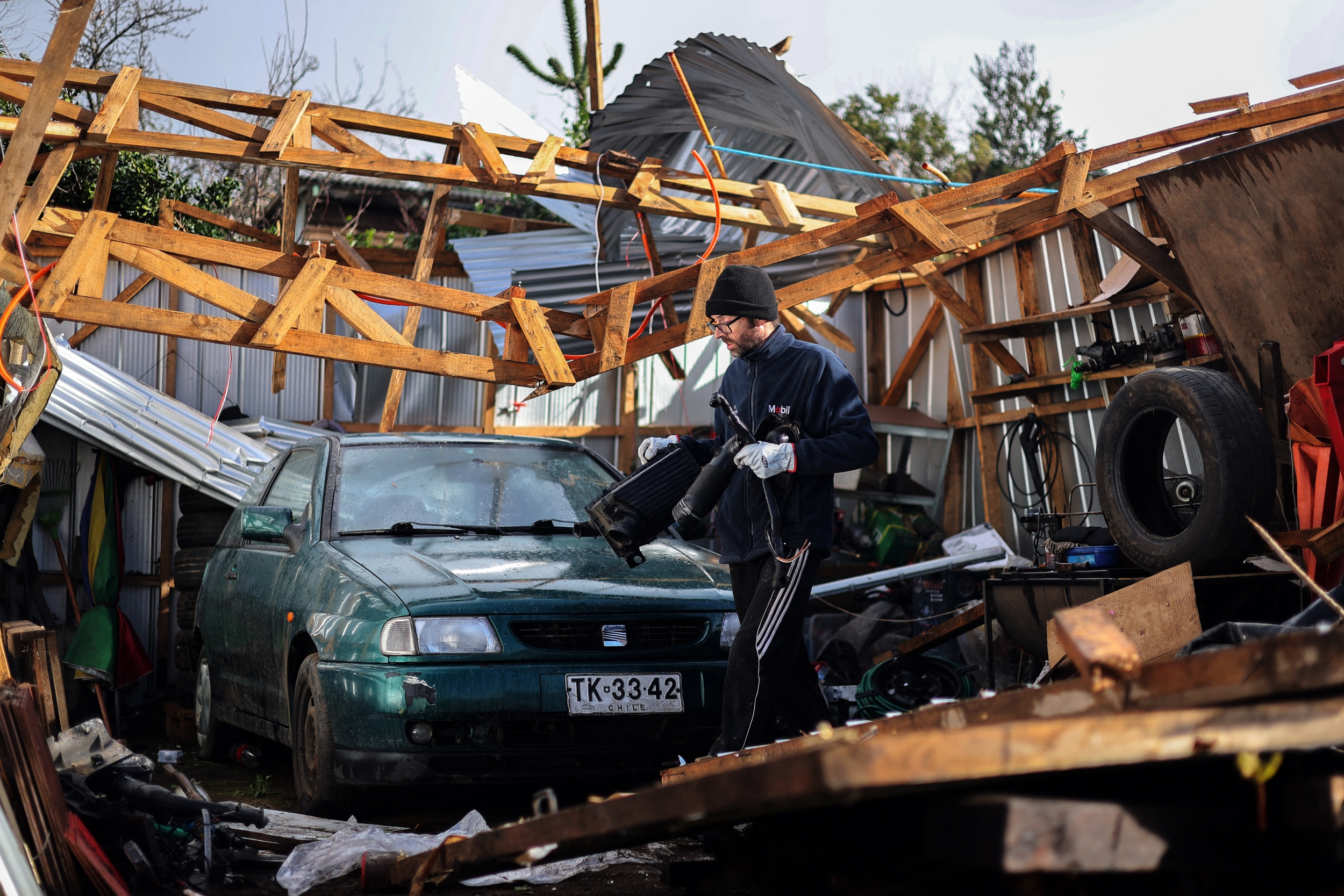 Tornado Alert for 4 Chilean Regions: What Wednesday's Weather Warning Means for the South
Chile's national meteorological authority has placed four southern regions on alert for potential tornadoes and waterspouts throughout Wednesday, warning that atmospheric instability could unleash sudden, destructive…
-
 November 2026 outlook: Above or below average temperatures?
The Weather Channel November outlook: How El Niño could impact your temperatures November brings family, football, food and fall vibes — but will you be thankful for the temperatures Mother Nature sends your way this…
-
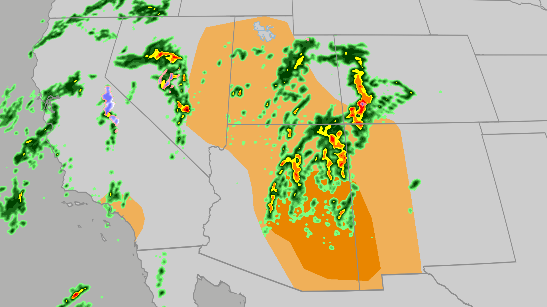 Severe weather, flood risk across Four Corners, California
The Weather Channel Tornadoes, flooding, large hail possible in Four Corners, California Parts of the Four Corners and Southern California face an elevated risk of severe weather on Thursday, which includes the…
-
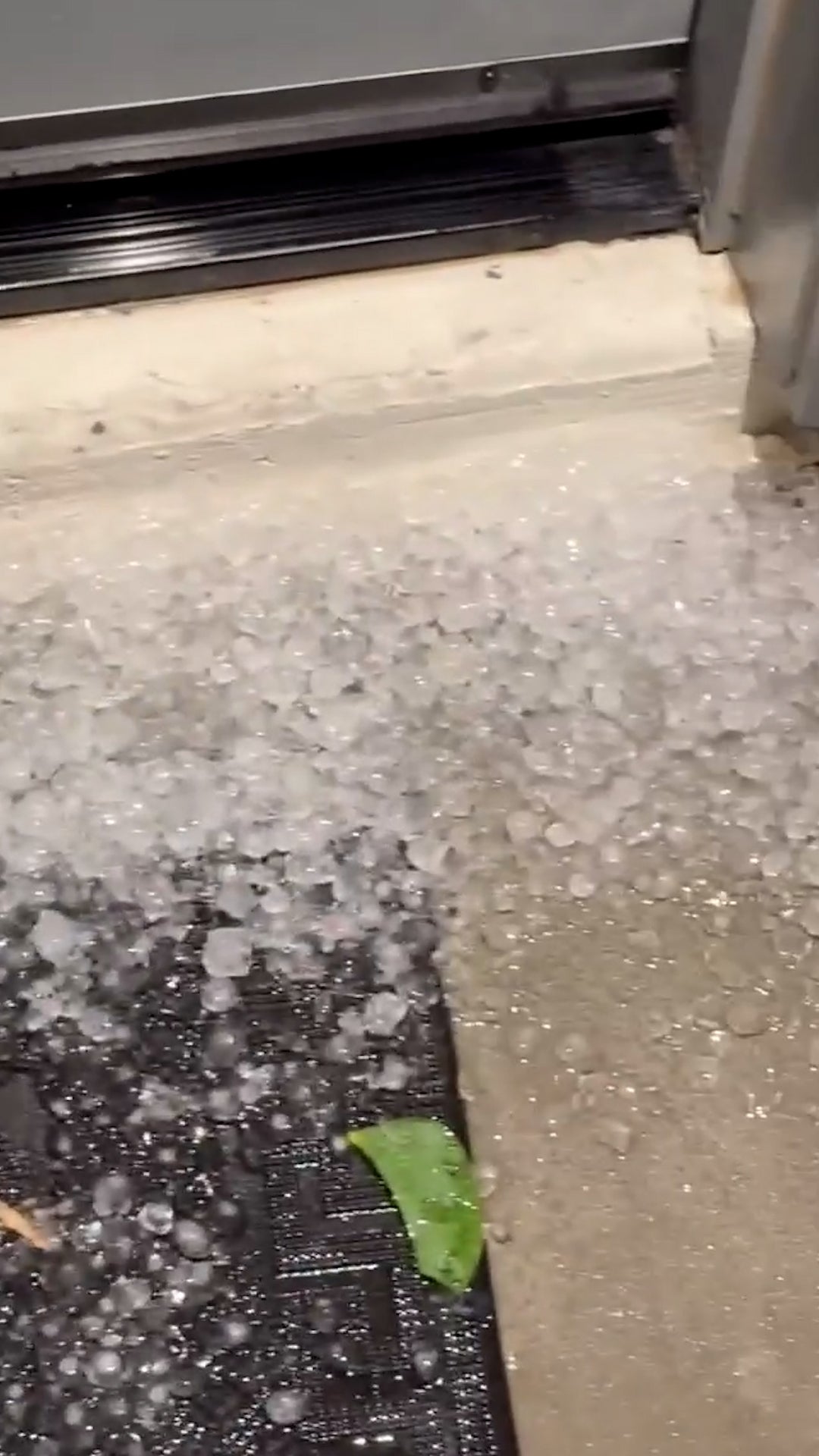 Egg-sized hail in Arizona
The Weather Channel Egg-sized hail in Arizona Paying to suffer: Tourists spend big bucks to get blasted by fake storm Adorable dog gets the zoomies among colorful New England leaves Strong Santa Ana winds topple massive…
-
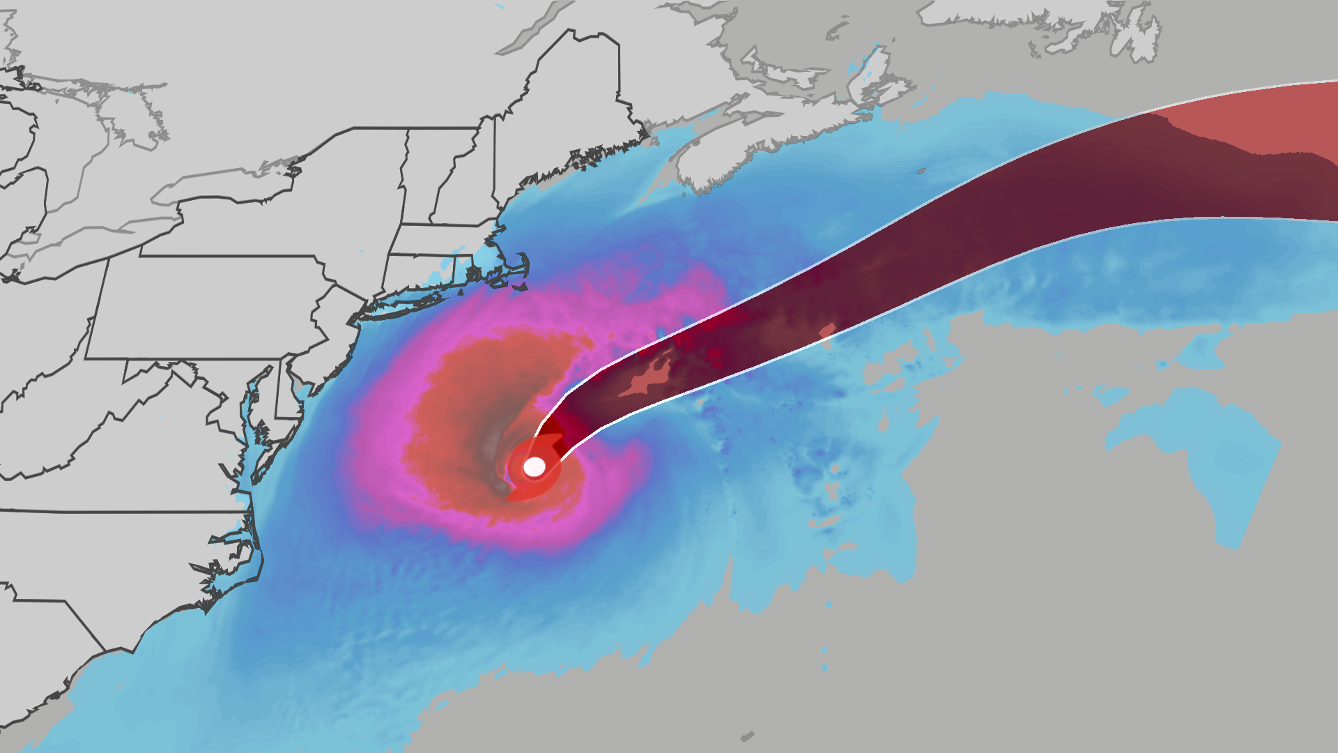 Nor’easter develops into Subtropical Storm Josephine
The Weather Channel Subtropical Storm Josephine lashes East Coast with winds, waves The nor’easter bringing primarily wind, coastal flooding and rip currents to the East Coast has now been named Subtropical Storm…
-
 Fire whirl flares during French protests | CNN
A fire whirl was spotted briefly during anti-government protests in Clermont-Ferrand, a city in central France. An astronaut aboard SpaceX Dragon and a videographer beside a lake in Canada share two amazing views of…
-
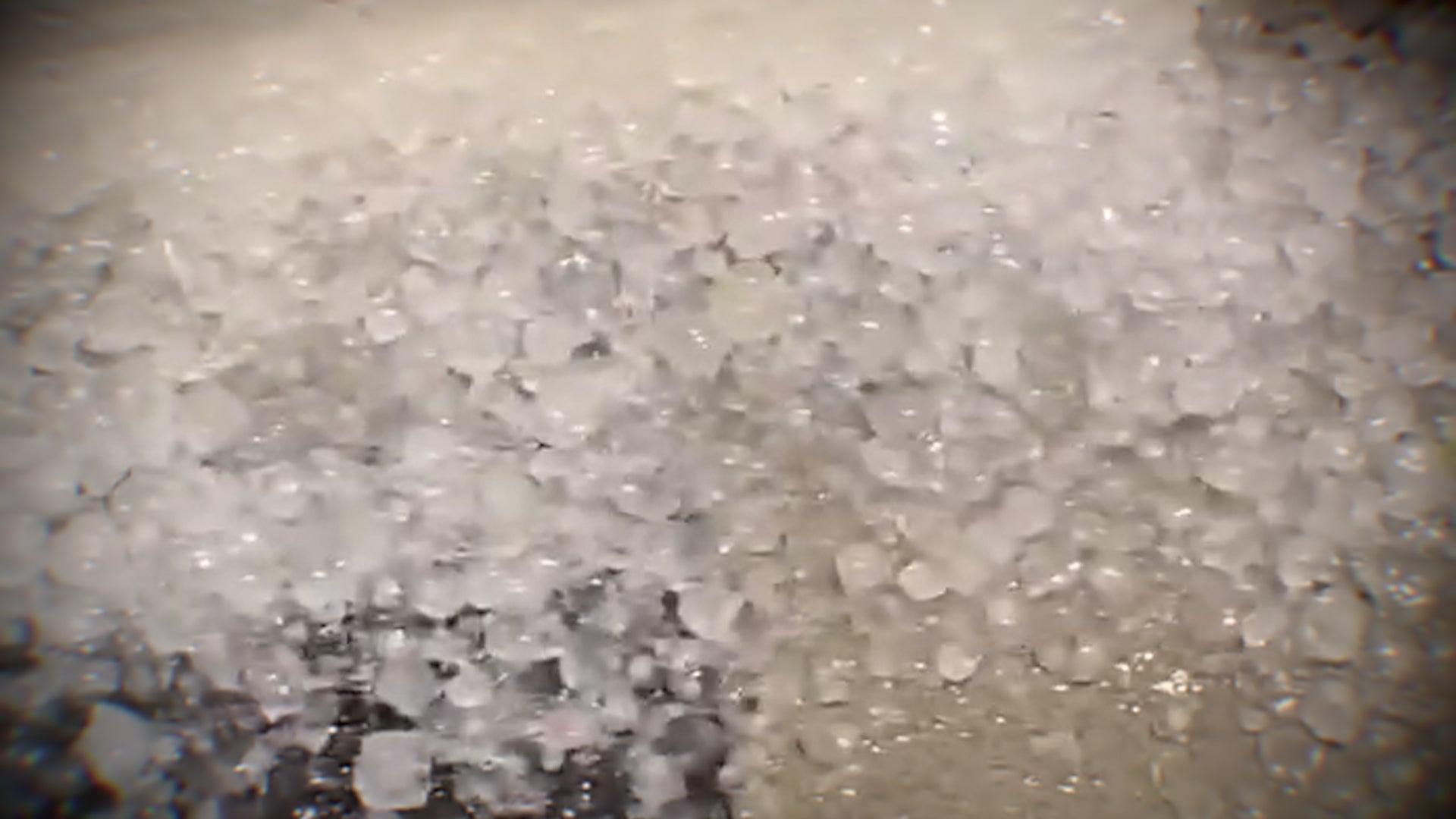 Hail and strong winds hit central Arizona on Tuesday
The Weather Channel Supercell hits Phoenix suburbs with egg-sized hail and 60 mph winds Heavy hail crashed down when thunderstorms rolled through the Phoenix area on Tuesday night. The area saw hail up to the size of…
- A record-breaking El Niño is coming — and it could mean a desert superbloom in 2027. Here's where to watch.
Right now, one of the driest places on the planet is covered in flowers. Chile's Atacama Desert usually gets about half an inch of rain a year. This past July and August, parts of the region got more than seven inches…
Sun & moon
Nearby
- Santiago 7 km
- Puente Alto 23 km
- Maipú 9 km
- San Bernardo 17 km
- Peñalolén 18 km
- Quilicura 9 km
- La Pintana 18 km
- Renca 5 km
- Colina 27 km
- Lampa 22 km
- Peñaflor 23 km
- Paine 40 km
Forecasts, observations and alerts in the United States come from the National Weather Service (NOAA); radar from NOAA's Multi-Radar Multi-Sensor system; satellite imagery from NASA's Global Imagery Browse Services (GIBS) and NOAA's GOES satellites; the map from the U.S. Geological Survey's National Map; air quality from AirNow (EPA and its partners); hurricane information from the National Hurricane Center; climate normals and records from NOAA's Regional Climate Centers (ACIS). Forecasts outside the United States and the UV index: MET Norway (CC BY 4.0); observations outside the U.S.: airport reports via NOAA's Aviation Weather Center. Place names: GeoNames (CC BY 4.0). Data are copied on a schedule and may lag the sources; for warnings that affect your safety, follow your local National Weather Service office and emergency officials. Weather news is drawn from the 4Conservative index and reflects what the press published. Terms of use.