Install
Tacourably, Montagnes, Côte d'Ivoire Weather
Current conditions
Forecast for this hour (no station report in the last two hours)
Forecast
10-day-
Wednesday
Light showers. High 29°. Precipitation 2.0 mm for the day.
-
Wednesday Night
Light rain. Low 23°. Precipitation 2.0 mm for the day.
-
Thursday
Rain. High 30°. Precipitation 8.0 mm for the day.
MET Norway forecast updated 11 hrs ago.
Hourly
Hourly forecast- Now24°
- 01:0024°
- 02:0024°
- 03:0023°
- 04:0023°
- 05:0023°
- 06:0023°
- 07:0023°
- 08:0024°
- 09:0026°
- 10:0027°
- 11:0028°
- 12:0028°
- 13:0029°
- 14:0029°0.2
- 15:0028°0.7
- 16:0028°0.5
- 17:0027°0.4
- 18:0026°
- 19:0025°
- 20:0025°
- 21:0024°
- 22:0024°
- 23:0024°
Daily forecast
DetailsRadar
Full mapWeather news near Tacourably
More weather news-
 Young man killed by lightning in Dewas, mother critical:Guna records 4.5 inches of rain; alert issued for 14 districts, including Indore, on Dussehra
Rain accompanied by thunderstorms lashed several districts of Madhya Pradesh on Monday. Guna received more than 4.5 inches of rain, washing away maize stored in the open at the agricultural market. In Dewas, a…
-
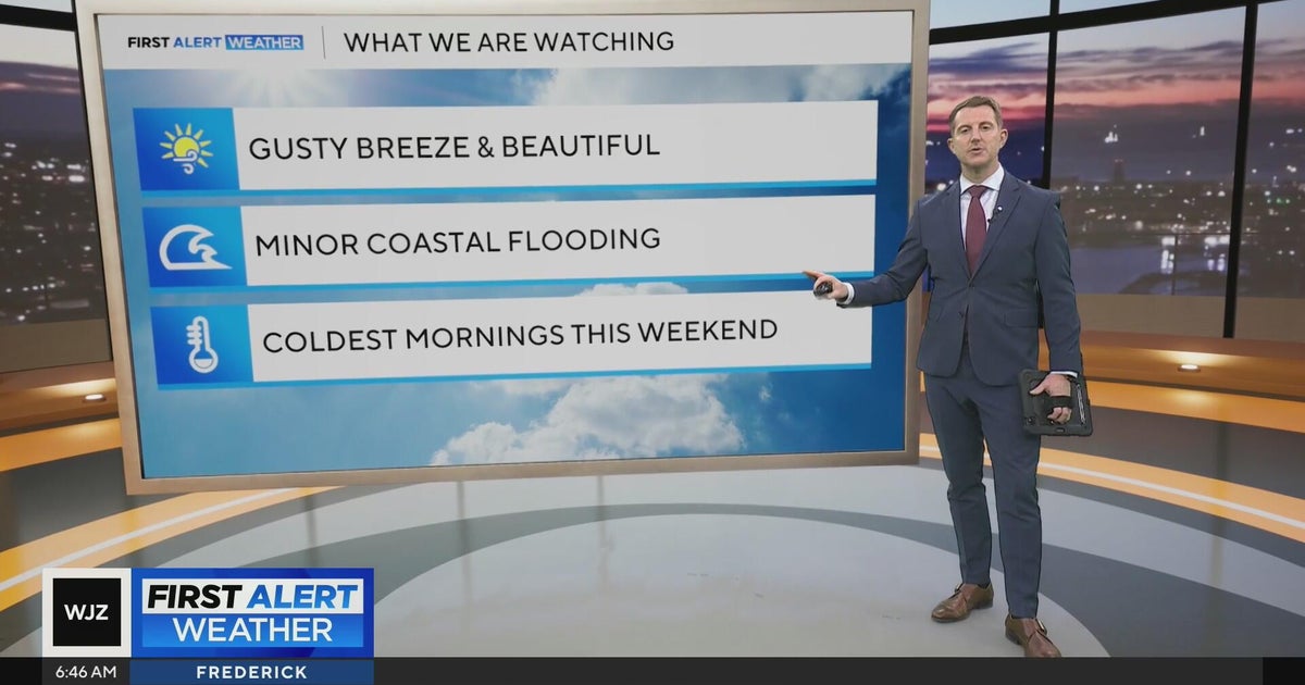 Beautiful stretch of weather in Maryland this week
CBS News Beautiful stretch of weather in Maryland this week Baltimore police investigate reported shooting along Belair Road Cool, nice, breezy weather continues in Maryland 1 killed in triple shooting near NW Baltimore…
-
 Lots of Sunshine & Seasonable Temperatures
KMOV Today: Things look calm and quiet today with sunny skies and highs slowly climbing into the lower 70s. Winds remain light out of the southeast at 2-5 mph. A Persistent Dry Stretch: A high pressure system remaining…
-
 Isolated shower possible today while temperatures continue to warm | 10/20 AM
LAWTON, Okla. (KSWO) - Today will be partly cloudy in the mid to upper 70s, with a stray shower possible. Tonight will be in the low 50s & mostly clear. Wednesday will be in the upper 70s, under mostly sunny skies…
-
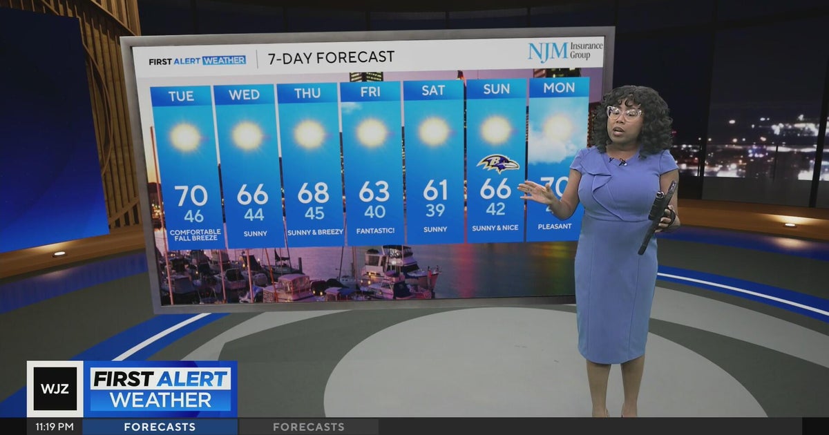 Cool, nice, breezy weather continues in Maryland
CBS News Cool, nice, breezy weather continues in Maryland 1 killed in triple shooting near NW Baltimore gas station Ravens will try to bounce back after disappointing loss in Cleveland | Purple Connection Baltimore…
-
 Warming trend in Minnesota continues, as rain holds off
CBS News Minnesota is a local news organization that is part of CBS News and Stations. Also referred to as WCCO-TV and channel 4, CBS News Minnesota offers local breaking news, weather coverage and investigative…
-
 Quiet Weather This Week
KLTV.com East Texas (KLTV) - Fair skies continue this evening with another cool night. Temperatures will drop into the upper 40s and lower 50s by daybreak. Tuesday will be mostly sunny and mild again with light winds…
-
 More sunny weather continues!
WNEM SAGINAW, Mich. (WNEM) - The pleasant weather of yesterday is still expected to last through this weekend, with abundant sunshine and mild temperatures (for this time of year) continuing! If you have anything…
-
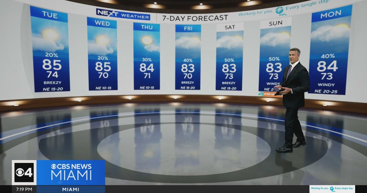 Temperatures lower to the early 80s and late 70s throughout South Florida
CBS News Miami is a local news organization that is part of CBS News and Stations. Also referred to as WFOR-TV and channel 4, CBS News Miami offers local breaking news, weather coverage and investigative reporting…
-
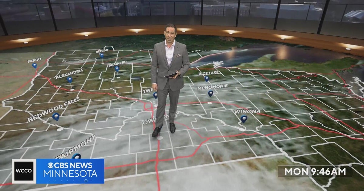 Minnesota’s warm, dry streak continues, with temperatures nearing 80 by Thursday | Oct. 19, 2026
A ridge of high pressure keeps the jet stream and cold air to the north, WCCO’s meteorologist says. Highs reach nearly 70 in the Twin Cities Wednesday, the mid 70s Thursday and close to 80 in parts of south central…
Sun & moon
Nearby
- Man 45 km
- Fengolo 57 km
- Ancien-Prozi 52 km
- Belleville 56 km
- Bangolo Tahouake 24 km
- Bangolo 43 km
- Gohouo 36 km
- Guézon 57 km
- Bléniméouin 14 km
- Pélézi 40 km
- Mignouré 50 km
- Diourouzon 55 km
Forecasts, observations and alerts in the United States come from the National Weather Service (NOAA); radar from NOAA's Multi-Radar Multi-Sensor system; satellite imagery from NASA's Global Imagery Browse Services (GIBS) and NOAA's GOES satellites; the map from the U.S. Geological Survey's National Map; air quality from AirNow (EPA and its partners); hurricane information from the National Hurricane Center; climate normals and records from NOAA's Regional Climate Centers (ACIS). Forecasts outside the United States and the UV index: MET Norway (CC BY 4.0); observations outside the U.S.: airport reports via NOAA's Aviation Weather Center. Place names: GeoNames (CC BY 4.0). Data are copied on a schedule and may lag the sources; for warnings that affect your safety, follow your local National Weather Service office and emergency officials. Weather news is drawn from the 4Conservative index and reflects what the press published. Terms of use.