Install
Niéméné, Vallée du Bandama District, Côte d'Ivoire Weather
Current conditions
Forecast for this hour (no station report in the last two hours)
Forecast
10-day-
Thursday
Light showers. High 31°. Precipitation 0.2 mm for the day.
-
Thursday Night
Fog. Low 23°. Precipitation 0.2 mm for the day.
-
Friday
Fog. High 31°.
MET Norway forecast updated 12 hrs ago.
Hourly
Hourly forecast- Now23°
- 07:0023°
- 08:0024°
- 09:0026°
- 10:0028°
- 11:0029°
- 12:0030°
- 13:0031°
- 14:0031°
- 15:0031°
- 16:0030°
- 17:0029°
- 18:0027°
- 19:0027°
- 20:0026°
- 21:0025°
- 22:0025°
- 23:0025°
- Fri00:0025°
- 01:0024°
- 02:0024°
- 03:0023°
- 04:0023°
- 05:0023°
Daily forecast
DetailsRadar
Full mapWeather news
More weather news-
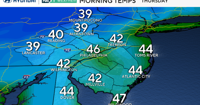 A return of 70s in Philadelphia as coastal flooding concerns diminish. Here's the weather forecast.
October 22, 2026 / 12:00 AM EDT / CBS Philadelphia Thursday will be another dry but breezy day across the Philadelphia region as Subtropical Storm Josephine moves farther away from the East Coast. While we're not…
-
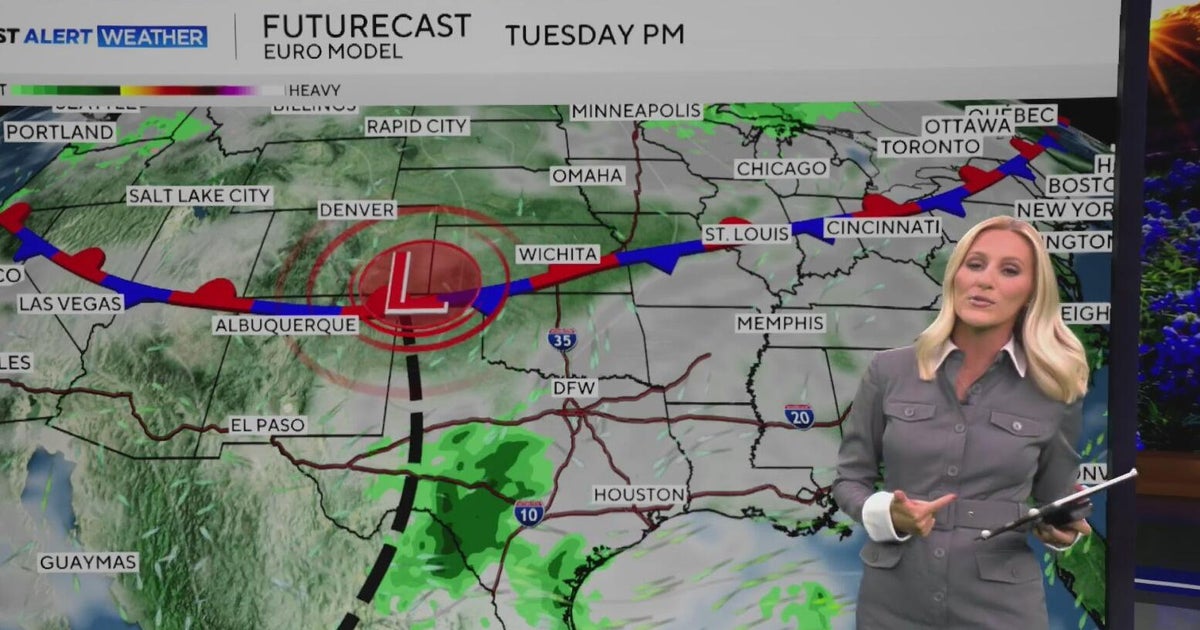 Warm, sunny weather continues in North Texas before clouds return
North Texas will continue enjoying above-average temperatures and sunny skies through the end of the workweek, with highs climbing into the mid-80s by Friday. Clouds begin moving in on Sunday, bringing a little less…
-
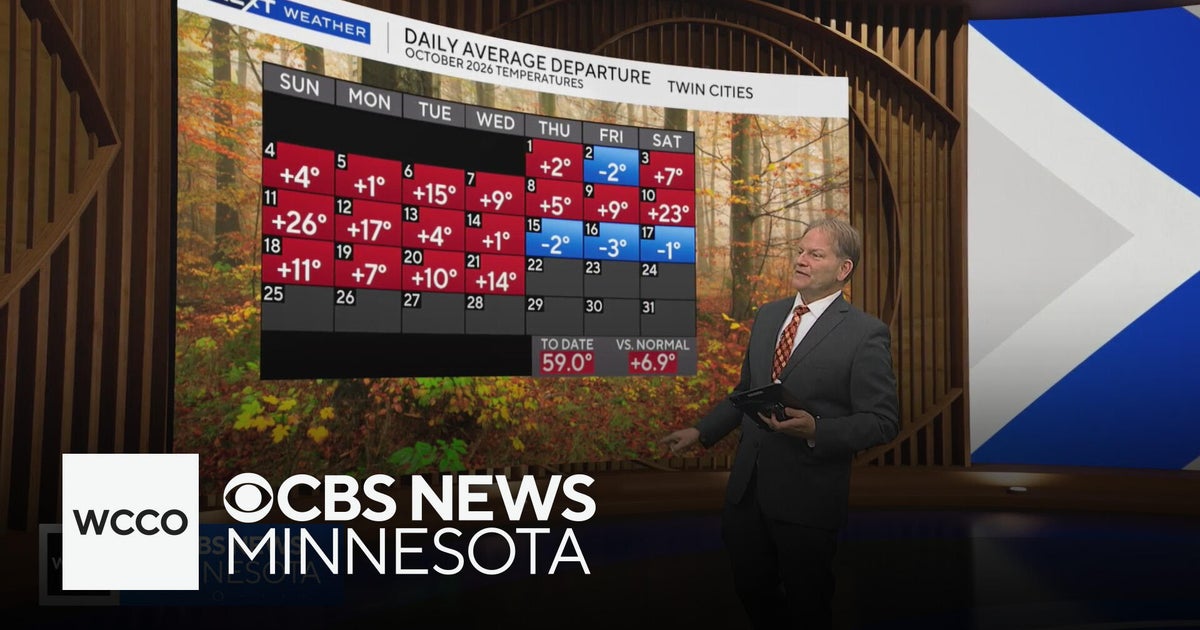 In the midst of a warm Minnesota fall, but cool-down is coming | Oct. 21, 2026
CBS News Minnesota is a local news organization that is part of CBS News and Stations. Also referred to as WCCO-TV and channel 4, CBS News Minnesota offers local breaking news, weather coverage and investigative…
-
 Subtropical Storm Josephine forms off Mid-Atlantic coast
Subtropical Storm Josephine just formed off the coast of the Mid-Atlantic, but will largely be a mere nuisance for coastal areas as it moves north. The storm is 245 miles south of Nantucket and has nearly 65 mph…
-
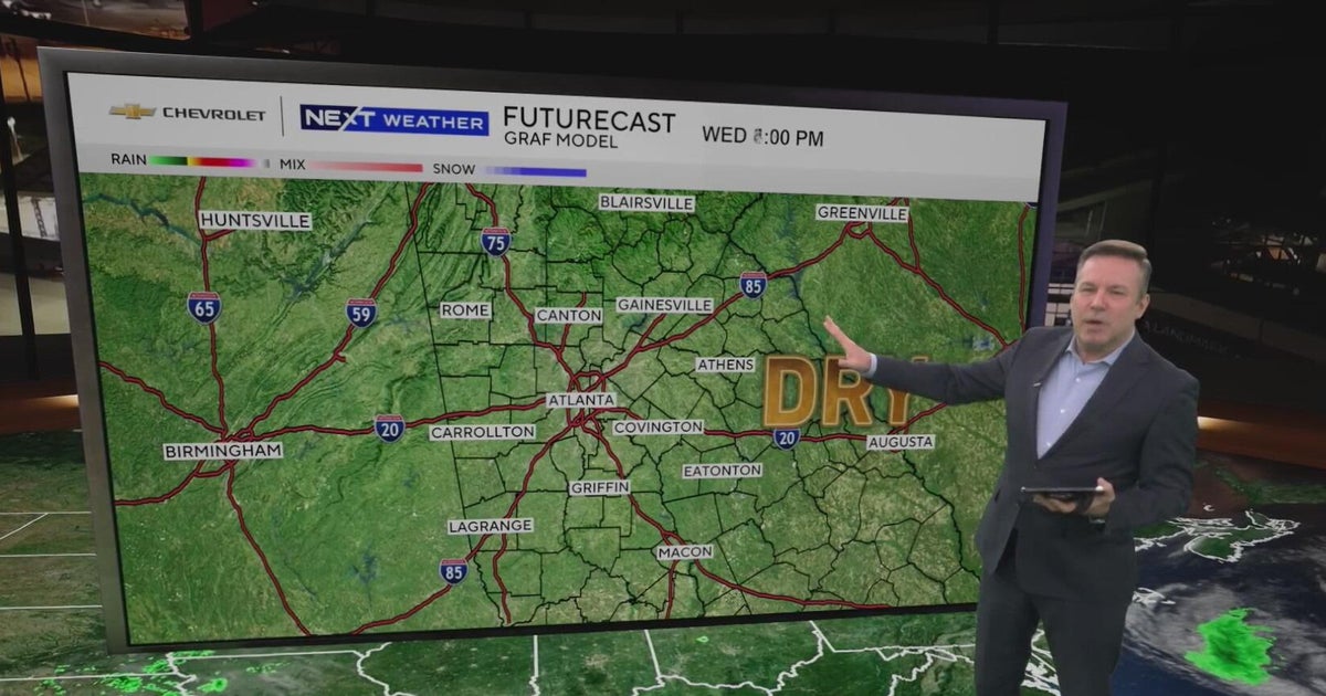 Atlanta forecast: Sunny days continue as low humidity raises fire concerns
Atlanta warms to 76 degrees after a chilly start, with dry weather expected for fans heading to State Farm Arena tonight. Low humidity keeps fire concerns elevated, while a weak front could bring slight rain chances…
-
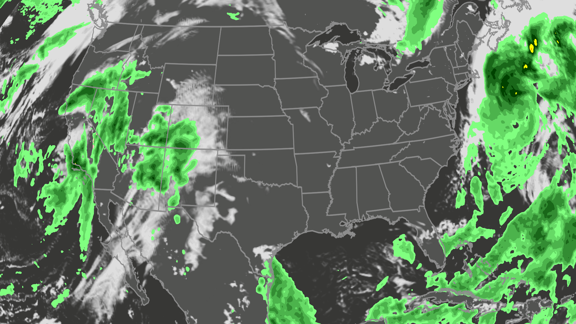 Orionid meteor shower peaks tonight; where skies will be clear
A meteor streaks across the sky over a desert in China during the Orionid meteor shower on Oct. 22, 2023. (VCG/VCG via Getty Images) Here's what you need to know about the Orionids and your forecast: While you can make…
-
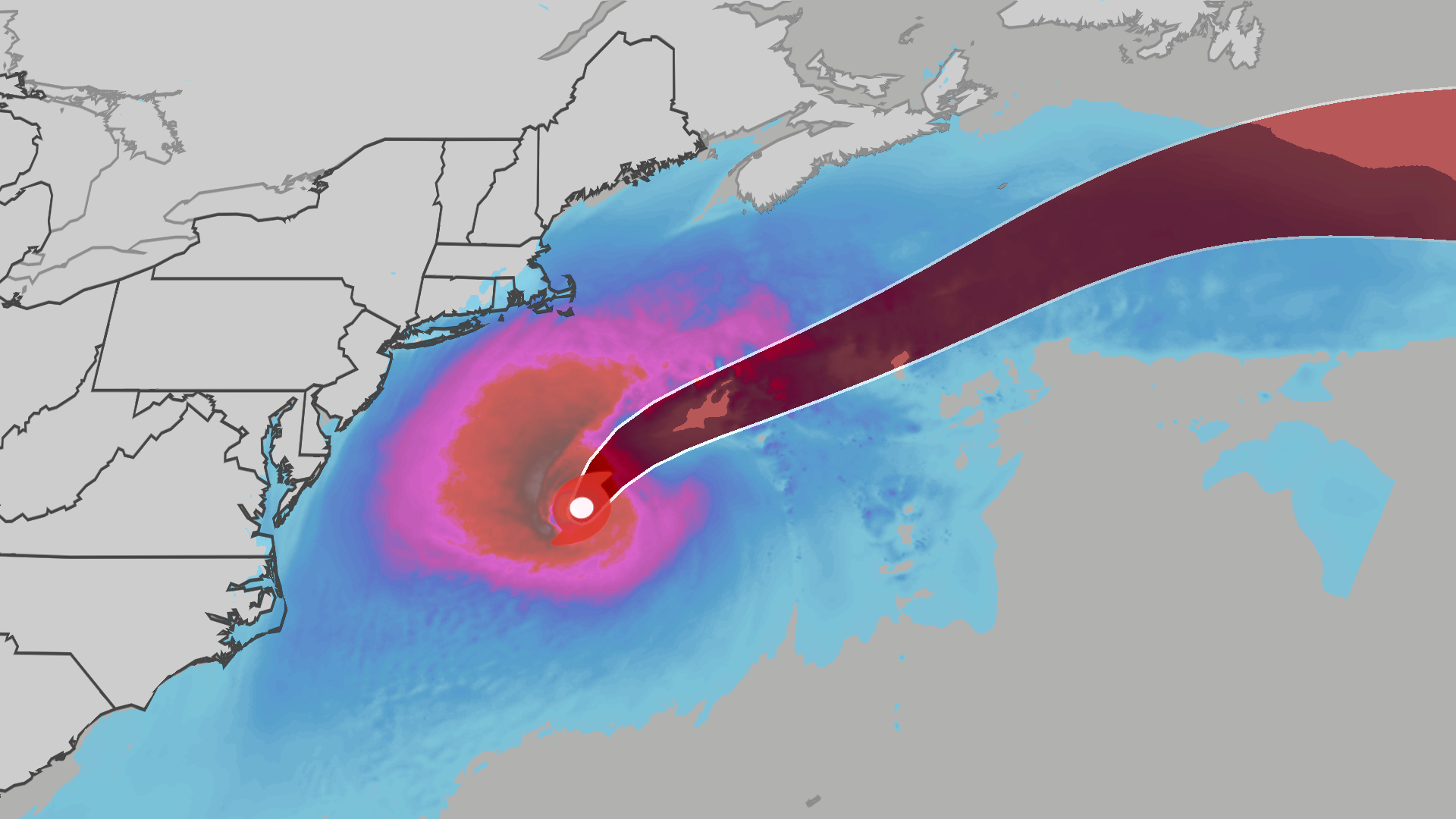 Nor'easter develops into Subtropical Storm Josephine off East Coast
An October nor'easter is still hugging the Atlantic coast, and the National Hurricane Center just officially named the system Subtropical Storm Josephine. Even though the storm has been named Josephine, the impacts will…
-
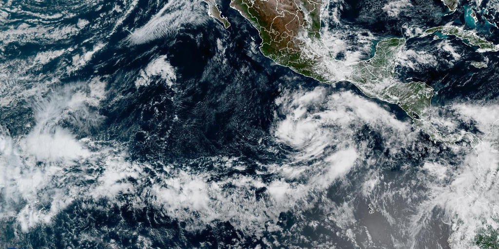 Tropical Storm Vance forms in eastern Pacific as hurricane season reaches rare milestone not seen since 2018
Tropical Storm Vance formed in the Pacific, marking the first V-named storm in the eastern Pacific since 2018. The system has maximum sustained winds of 40 mph and a central pressure of 1,003 mb. The active Pacific…
-
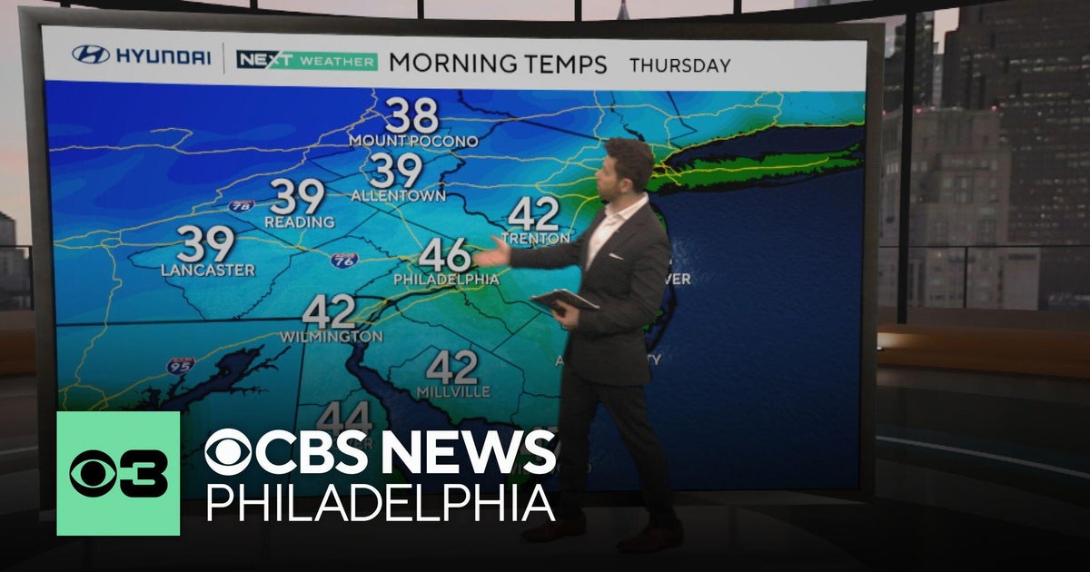 Nice fall weather continues in Philadelphia, tracking Subtropical Storm Josephine
CBS News Philadelphia is a local news organization that is part of CBS News and Stations. Also referred to as KYW-TV and channel 3, CBS News Philadelphia offers local breaking news, weather coverage and investigative…
-
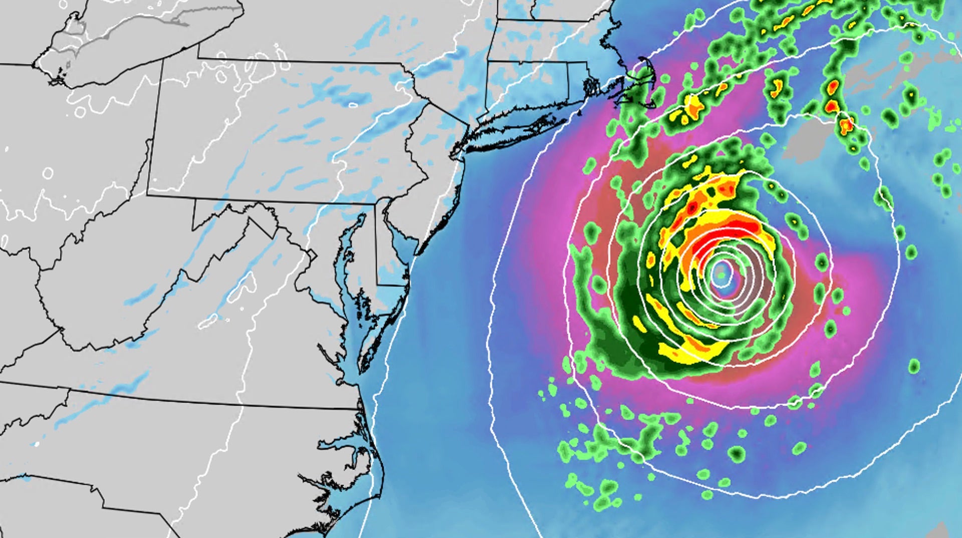 Nor'easter develops into Subtropical Storm Josephine
An October nor'easter is still hugging the Atlantic coast, and the National Hurricane Center just officially named the system Subtropical Storm Josephine. Even though the storm has been named Josephine, the impacts will…
Sun & moon
Nearby
- Katiola 58 km
- Fronan 55 km
- Dabakala 30 km
- Darakokaha 55 km
- Ouandérama-Dioulasso 38 km
- Kanangonon 44 km
- Mborla-Dioulasso 23 km
- Pétyonara 47 km
- Ouanadiékaha 54 km
- Foumbolo 21 km
- Ouréguékaha 56 km
- Boniérédougou 10 km
Forecasts, observations and alerts in the United States come from the National Weather Service (NOAA); radar from NOAA's Multi-Radar Multi-Sensor system; satellite imagery from NASA's Global Imagery Browse Services (GIBS) and NOAA's GOES satellites; the map from the U.S. Geological Survey's National Map; air quality from AirNow (EPA and its partners); hurricane information from the National Hurricane Center; climate normals and records from NOAA's Regional Climate Centers (ACIS). Forecasts outside the United States and the UV index: MET Norway (CC BY 4.0); observations outside the U.S.: airport reports via NOAA's Aviation Weather Center. Place names: GeoNames (CC BY 4.0). Data are copied on a schedule and may lag the sources; for warnings that affect your safety, follow your local National Weather Service office and emergency officials. Weather news is drawn from the 4Conservative index and reflects what the press published. Terms of use.