Install
Grabs, Saint Gallen, Switzerland Weather
Current conditions
Observed at Rheineck/Altenrhein · 42 min ago
Forecast
10-day-
Thursday
Partly cloudy. High 13°. Precipitation 3.0 mm for the day.
-
Thursday Night
Heavy rain. Low 5°. Precipitation 3.0 mm for the day.
-
Friday
Light showers. High 16°. Precipitation 0.5 mm for the day.
MET Norway forecast updated 1 day ago.
Hourly
Hourly forecast- Now7°0.2
- 05:007°
- 06:007°
- 07:007°
- 08:006°
- 09:007°
- 10:008°
- 11:009°
- 12:0011°
- 13:0012°
- 14:0013°
- 15:0013°
- 16:0013°
- 17:0012°
- 18:0011°
- 19:009°
- 20:009°
- 21:008°
- 22:006°
- 23:005°
- Fri00:004°
- 01:004°
- 02:004°
- 03:005°
Daily forecast
DetailsRadar
Full mapWeather news near Grabs
More weather news- Sunday PM Forecast: Grabbing the jacket early, losing it later, with no rain to worry about
More chilly nights are in the Storm Station forecast. Plan on jacket weather each morning, but abundant sunshine will warm things right back up each afternoon. Meanwhile, very dry air will keep the area rain-free for…
-
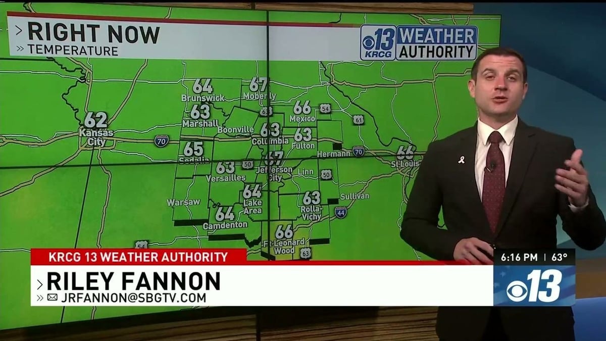 Monday Evening Forecast: What to Expect Tonight and This Week
Your Monday evening forecast is out, giving viewers a clear look at what the sky has in store for the rest of the night and into the days ahead. Forecasters break down temperature trends, cloud cover, and any…
-
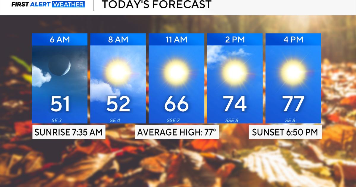 Expect a beautiful fall week across North Texas with cool mornings, temperatures in the 70s and 80s
October 19, 2026 / 6:30 AM CDT / CBS Texas It will be a beautiful and mild start to the week. Expect high clouds to dissipate throughout Monday, mild winds from the southeast and temperatures to top out in the upper 70s…
-
 Hoodies & shades for your Monday Dog Walking Forecast
Our Dog Walking Forecast takes us to Smithville, where Tracey Clark sent in this photo of her beagles, Willow and Wilson! We’ll have chilly mornings near 40, some patchy frost, then bright afternoon sun with highs near…
-
 Cooler temperatures, possible rain headed for Southern California
It’s time to grab those jackets and pull out the umbrellas because cooler temperatures and a chance of rain is on tap for Southern California by the middle of this week, forecasters say. The region could see widespread…
-
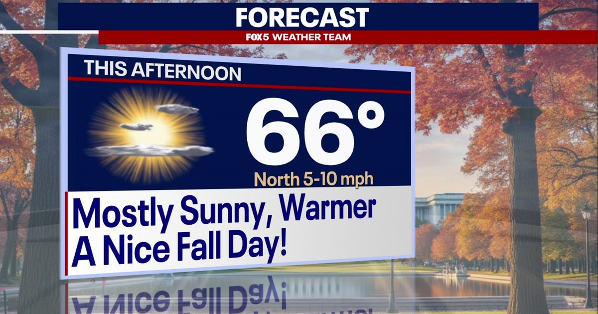 DC weather: Fall temperatures settle across DMV, with dry and clear conditions expected all week
A chilly start on Monday in the Washington, D.C. region with sunshine and highs in the 60s. WASHINGTON - A seasonal change has taken hold across the Washington, D.C. region following a cool weekend bringing sunshine…
- Seasonal conditions for the week ahead in the Carolinas: Forecast here
CHARLOTTE, N.C. (WBTV) - We are giving you the First Alert for a perfect stretch of fall weather across the Charlotte region. After a chilly start Monday, Oct. 19 with temperatures around 40 in Charlotte and feels-like…
-
 Chilly mornings, comfortable afternoons through the week
MEMPHIS, Tenn. - Good Monday morning! Bundle up and grab the sunglasses. It's a chilly start to the day under a mostly clear sky. Temperatures this afternoon will be slightly above average in the mid/upper 70s. Humidity…
-
 Beautiful Fall Weather Continues Across Tampa Bay This Week
Tampa Bay 28 TAMPA, Fla. — I hope you enjoyed this beautiful fall Sunday, Tampa Bay! As you head out the door Monday morning, you may want to grab a light jacket! Temperatures will start the day near 60 degrees, with…
-
 Grab the plant covers, then the sunglasses: Warm temperatures ahead
CENTRAL ILLINOIS (25News Now) - Central Illinois is getting a taste of fall before temperatures take a turn toward summerlike warmth. High pressure will keep skies clear and conditions dry for the next several days, but…
Sun & moon
Nearby
- Konstanz 57 km
- Sankt Gallen 27 km
- Friedrichshafen 53 km
- Dornbirn 34 km
- Chur 38 km
- Rapperswil 47 km
- Uster 58 km
- Feldkirch 13 km
- Bregenz 42 km
- Frauenfeld 59 km
- Wetzikon 51 km
- Lindau 44 km
Forecasts, observations and alerts in the United States come from the National Weather Service (NOAA); radar from NOAA's Multi-Radar Multi-Sensor system; satellite imagery from NASA's Global Imagery Browse Services (GIBS) and NOAA's GOES satellites; the map from the U.S. Geological Survey's National Map; air quality from AirNow (EPA and its partners); hurricane information from the National Hurricane Center; climate normals and records from NOAA's Regional Climate Centers (ACIS). Forecasts outside the United States and the UV index: MET Norway (CC BY 4.0); observations outside the U.S.: airport reports via NOAA's Aviation Weather Center. Place names: GeoNames (CC BY 4.0). Data are copied on a schedule and may lag the sources; for warnings that affect your safety, follow your local National Weather Service office and emergency officials. Weather news is drawn from the 4Conservative index and reflects what the press published. Terms of use.