Install
West St. Paul, Manitoba, Canada Weather
Current conditions
Forecast for this hour (no station report in the last two hours)
Forecast
10-day-
Friday
Rain. High 22°. Precipitation 2.9 mm for the day.
-
Friday Night
Rain. Low 16°. Precipitation 2.9 mm for the day.
-
Saturday
Cloudy. High 16°.
MET Norway forecast updated 5 hrs ago.
Hourly
Hourly forecast- Now20°0.3
- 18:0020°
- 19:0019°0.4
- 20:0017°0.7
- 21:0016°0.7
- 22:0016°
- 23:0016°
- Sat00:0016°
- 01:0016°
- 02:0016°
- 03:0016°
- 04:0016°
- 05:0016°
- 06:0016°
- 07:0016°
- 08:0014°
- 09:0010°
- 10:009°
- 11:009°
- 12:009°
- 13:009°
- 14:0010°
- 15:0010°
- 16:0010°
10-day forecast
DetailsRadar
Full mapWeather news near West St. Paul
More weather news-
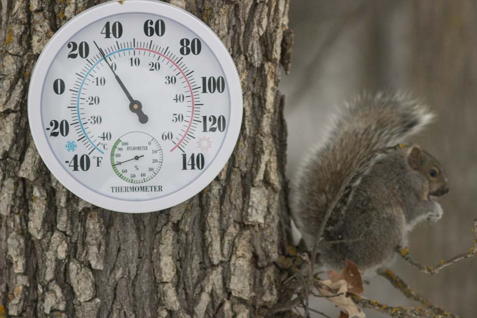 Bezte on Weather: Warm September equals warm winter?
WESTERN PRODUCER — As we slowly move through fall and head toward whatever winter might have in store for us, let’s take a look back at September’s weather across the Prairies and then see if there have been any changes…
-
 CTV Your Morning Winnipeg Weather Update for October 16, 2026
CTV News CTV Your Morning Winnipeg Weather Update for October 16, 2026 Katherine Dow has your Friday morning look at the weather.
-
 Colleen Bready’s Forecast: A warm weekend ahead
CTV News A stretch of perfectly timed sunny and unseasonably warm weather is upon us on Friday in southern Manitoba as the weekend quickly approaches Sunshine has returned to the region Friday after a low pressure…
-
 Riley Laychuk's Manitoba forecast for Friday, Oct. 16, 2026
CBC Riley Laychuk's Manitoba forecast for Friday, Oct. 16, 2026 Sunshine will prevail for southern Manitoba, although it will remain breezy. High pressure will bring warmer temperatures for the weekend for most of the…
-
 CTV Your Morning Winnipeg Weather Update for October 15, 2026
CTV News CTV Your Morning Winnipeg Weather Update for October 15, 2026 Katherine Dow has your Thursday morning look at the weather.
-
 Riley Laychuk's Manitoba forecast for Thursday, Oct. 15, 2026
CBC Riley Laychuk's Manitoba forecast for Thursday, Oct. 15, 2026 A weak Alberta clipper will push through the province, bringing a more steady rain to parts of the north. Southern Manitoba can expect a few showers…
-
 CTV Your Morning Winnipeg Weather Update for October 14, 2026
CTV News CTV Your Morning Winnipeg Weather Update for October 14, 2026 Katherine Dow has your Tuesday morning look at the weather.
-
 Colleen Bready’s Forecast: Sunshine to return to southern Manitoba
CTV News After a chilly and cloudy Tuesday, seasonal temperatures and sunshine will return to southern Manitoba on Wednesday Almost every town or city across the south will enjoy sunshine or a mix of sun and cloud, with…
-
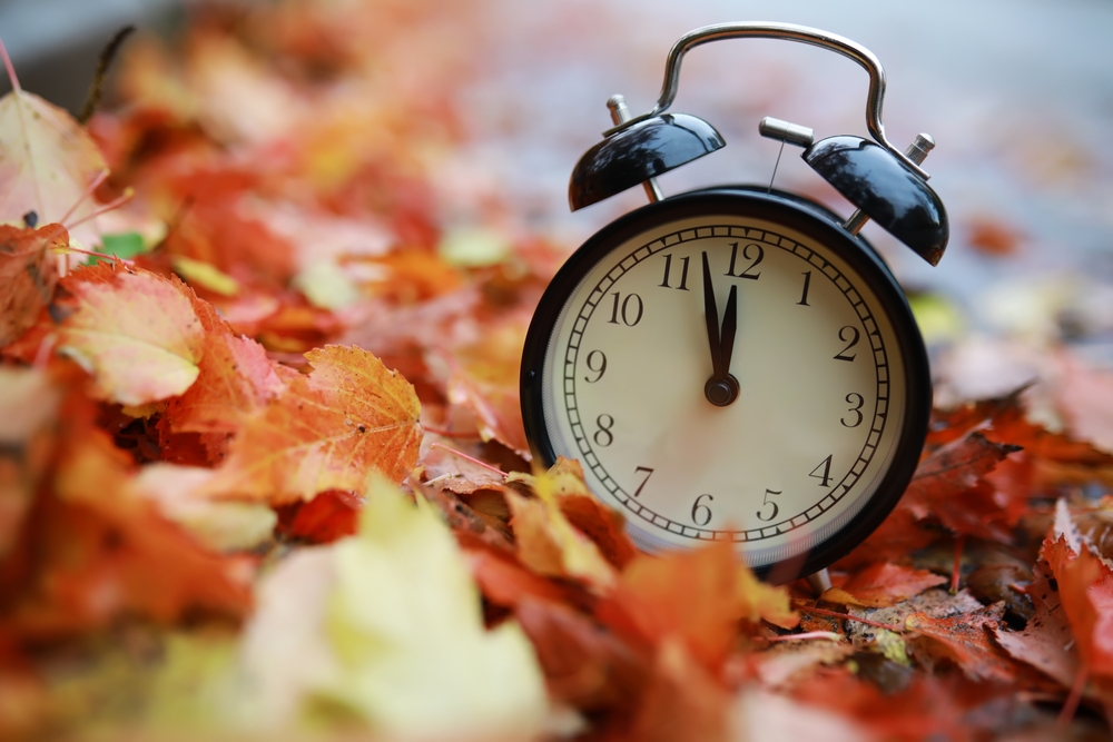 Northwestern Ontario communities won’t be falling back one hour on November 1
For the first time in more than a century, parts of Northwestern Ontario will not fall back one hour on November 1, while the rest of the province returns to standard time. The historic change comes after Manitoba…
-
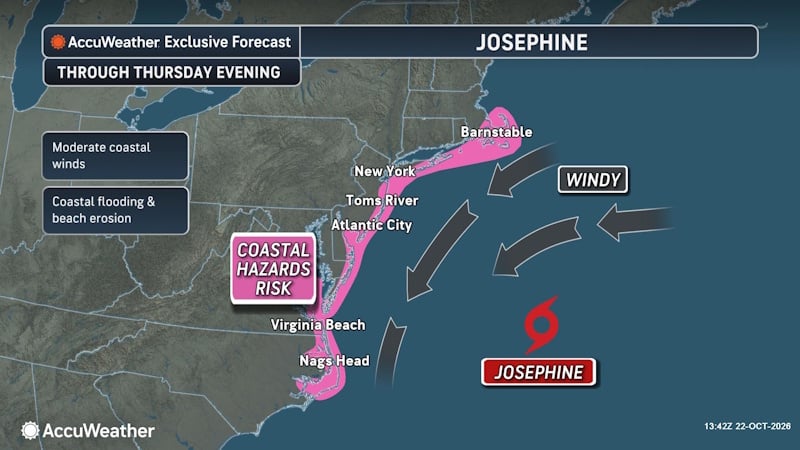 Subtropical Storm Josephine Forms Off East Coast, Threatening New England and Atlantic Canada
A powerful nor’easter that spent days churning off the East Coast has transformed into Subtropical Storm Josephine, becoming the 10th named storm of the 2026 Atlantic hurricane season. The storm is now threatening parts…
Sun & moon
Nearby
- Winnipeg 14 km
- Selkirk 24 km
- Stonewall 19 km
- Niverville 46 km
- Headingley 24 km
- Lorette 36 km
- Beausejour 45 km
- Ste. Anne 52 km
Forecasts, observations and alerts in the United States come from the National Weather Service (NOAA); radar from NOAA's Multi-Radar Multi-Sensor system; satellite imagery from NASA's Global Imagery Browse Services (GIBS) and NOAA's GOES satellites; the map from the U.S. Geological Survey's National Map; air quality from AirNow (EPA and its partners); hurricane information from the National Hurricane Center; climate normals and records from NOAA's Regional Climate Centers (ACIS). Forecasts outside the United States and the UV index: MET Norway (CC BY 4.0); observations outside the U.S.: airport reports via NOAA's Aviation Weather Center. Place names: GeoNames (CC BY 4.0). Data are copied on a schedule and may lag the sources; for warnings that affect your safety, follow your local National Weather Service office and emergency officials. Weather news is drawn from the 4Conservative index and reflects what the press published. Terms of use.