Install
Nanoose Bay, British Columbia, Canada Weather
Current conditions
Forecast for this hour (no station report in the last two hours)
Forecast
10-day-
Saturday
Heavy rain. High 8°. Precipitation 19.0 mm for the day.
-
Saturday Night
Heavy rain. Low 5°. Precipitation 19.0 mm for the day.
-
Sunday
Rain. High 11°. Precipitation 4.6 mm for the day.
MET Norway forecast updated 16 hrs ago.
Hourly
Hourly forecast- Now6°
- 06:007°0.4
- 07:007°0.6
- 08:007°0.8
- 09:007°1.2
- 10:007°1.5
- 11:008°1.5
- 12:008°1.2
- 13:008°1.1
- 14:008°0.8
- 15:008°0.7
- 16:008°1.0
- 17:008°0.5
- 18:008°0.9
- 19:007°1.7
- 20:007°1.6
- 21:007°0.9
- 22:007°0.8
- 23:007°1.7
- Sun00:007°1.0
- 01:007°0.9
- 02:007°0.5
- 03:007°0.2
- 04:007°0.2
Daily forecast
DetailsRadar
Full mapWeather news in Canada
More weather news-
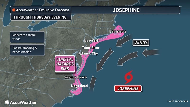 Subtropical Storm Josephine Forms Off East Coast, Threatening New England and Atlantic Canada
A powerful nor’easter that spent days churning off the East Coast has transformed into Subtropical Storm Josephine, becoming the 10th named storm of the 2026 Atlantic hurricane season. The storm is now threatening parts…
-
 Subtropical storm bringing rain and wind to parts of Atlantic Canada
Posted Oct 22, 2026 03:24:09 PM. Subtropical Storm Josephine is expected to bring heavy rain and wind to parts of Nova Scotia and Newfoundland Thursday and Friday. Environment Canada has issued yellow rainfall warnings…
-
 Niagara Falls’ Oct. 24 forecast: Sunny
Environment Canada is forecasting a sunny morning in Niagara Falls. The daytime high is expected to reach 17 C. Tonight, expect clear skies with a night time low of 9 C. The sun will set at 6:20 p.m. For more details…
-
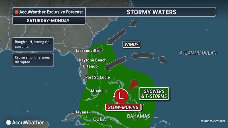 Rough Seas and Tropical Threats Loom Over Florida’s Atlantic Coast
Florida’s East Coast is already dealing with coastal flooding, gusty winds and dangerous surf, and a new area of potential tropical development could prolong or worsen those conditions early next week. Higher tides…
-
 Durham Region’s weather, highway closures and top stories on Oct. 24
Expect sunny skies this morning and closures on Highway 12, Highway 35, Highway 401, Highway 7 and Highway 7/12 Todayâs news, weather and traffic. Happy Saturday morning Durham Region! Environment Canada is…
-
 Oshawa’s Oct. 24 forecast: Sunny
The daytime high is expected to reach 15 C Environment Canada is forecasting a sunny morning in Oshawa. The daytime high is expected to reach 15 C. Tomorrow’s forecast calls for a mainly clear sky during the day with a…
-
 Snow and rain mixture hits Edmonton, sunny weekend expected
Posted October 23, 2026 9:35 am. Roads are slick this morning around Edmonton following overnight precipitation that has continued into Friday. A rain and snow mix is expected to last until Friday afternoon, with an…
-
 Essex County school buses cancelled for second straight day amid fog advisory
Environment Canada issued a fog advisory for Windsor, Leamington and Essex County early Friday morning Dense fog has cancelled school buses across Essex County for a second straight morning. Environment Canada issued a…
-
 Parts of Manitoba to see ‘hazardous winter conditions’ this weekend
Environment and Climate Change Canada (ECCC) is warning northern Manitoba residents to brace for “hazardous winter conditions” this weekend. Environment and Climate Change Canada (ECCC) is warning northern Manitoba…
-
 After All This Warm Weather, Thanksgiving Is Predicted to Be Cold
Plans may be starting to take shape in your home for Thanksgiving. Or at least the seeds have been planted if true planning hasn't started yet. But one thing that we'll need to take into consideration (especially when…
Sun & moon
Nearby
- Nanaimo 22 km
- Port Alberni 44 km
- Parksville 10 km
- Qualicum Beach 20 km
- Sechelt 39 km
- Harewood 23 km
- Ladysmith 42 km
- Gibsons 52 km
- Gabriola 27 km
- Lantzville 9 km
- Lake Cowichan 51 km
- Madeira Park 41 km
Forecasts, observations and alerts in the United States come from the National Weather Service (NOAA); radar from NOAA's Multi-Radar Multi-Sensor system; satellite imagery from NASA's Global Imagery Browse Services (GIBS) and NOAA's GOES satellites; the map from the U.S. Geological Survey's National Map; air quality from AirNow (EPA and its partners); hurricane information from the National Hurricane Center; climate normals and records from NOAA's Regional Climate Centers (ACIS). Forecasts outside the United States and the UV index: MET Norway (CC BY 4.0); observations outside the U.S.: airport reports via NOAA's Aviation Weather Center. Place names: GeoNames (CC BY 4.0). Data are copied on a schedule and may lag the sources; for warnings that affect your safety, follow your local National Weather Service office and emergency officials. Weather news is drawn from the 4Conservative index and reflects what the press published. Terms of use.