Install
Lucaya, Freeport, Bahamas Weather
Current conditions
Observed at Freeport Intl · 1 hr ago
Forecast
10-day-
Wednesday
Partly cloudy. High 29°.
-
Wednesday Night
Partly cloudy. Low 25°.
-
Thursday
Heavy showers. High 27°. Precipitation 5.5 mm for the day.
MET Norway forecast updated 49 min ago.
Hourly
Hourly forecast- Now25°
- 07:0025°
- 08:0025°
- 09:0026°
- 10:0027°
- 11:0028°
- 12:0029°
- 13:0028°
- 14:0028°
- 15:0028°
- 16:0028°
- 17:0028°
- 18:0027°
- 19:0026°
- 20:0026°
- 21:0026°
- 22:0026°
- 23:0026°
- Thu00:0025°
- 01:0025°
- 02:0025°
- 03:0025°
- 04:0025°
- 05:0025°
Daily forecast
DetailsRadar
Full mapWeather news in Bahamas
More weather news-
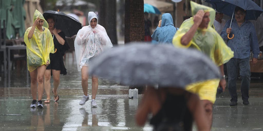 Slow-moving system could bring days of heavy rain and flooding to the Bahamas and Florida
A slow-moving system is developing near the Southwest Atlantic, bringing days of rain to Florida. Some areas could see 3 to 5 inches. A Level 1 out of 4 flash flood risk has been issued for Friday, while a Level 2 out…
-
 Cruise ship passengers who packed for trip to Bahamas stunned after bad weather forces them to sail to chilly Nova Scotia instead
Some cruise passengers aboard a Royal Caribbean ship are sorely under-packed after the boat rerouted from the sunny Bahamas to chilly Canada to avoid a storm. For 5,000 passengers aboard the Oasis of the Seas, which…
- Cruise passengers who packed for Bahamas stunned after weather forces them to sail to Nova Scotia
Some cruise passengers aboard a Royal Caribbean ship are sorely under-packed after the boat rerouted from the sunny Bahamas to chilly Canada to avoid a storm. For 5,000 passengers aboard the Oasis of the Seas, which…
-
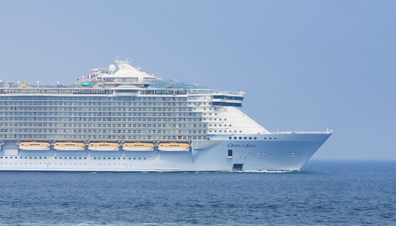 Royal Caribbean Sends Oasis of the Seas to Canada as East Coast Storm Builds
Severe weather continues to wreak havoc on cruise itineraries. The latest subject of a weather reroute is the October 18, 2026 sailing of Oasis of the Seas, scheduled to depart from Cape Liberty, New Jersey and…
- Bahamas warns of Gale-Force winds and dangerous seas as strong cold front approaches
A strong cold front is expected to bring powerful northeasterly winds, rough seas, heavy showers and possible coastal flooding to parts of The Bahamas from Saturday night through Tuesday, October 20. Written by WIC News…
- Bunker Fuel Tightens in US Gulf as Weather Disrupts Operations
Sea fog may also impede bunker deliveries in the US Gulf early on Friday. The likelihood of fog off Galveston is high from midnight until midday on Friday, with visibility expected to fall to two nautical miles in the…
Forecasts, observations and alerts in the United States come from the National Weather Service (NOAA); radar from NOAA's Multi-Radar Multi-Sensor system; satellite imagery from NASA's Global Imagery Browse Services (GIBS) and NOAA's GOES satellites; the map from the U.S. Geological Survey's National Map; air quality from AirNow (EPA and its partners); hurricane information from the National Hurricane Center; climate normals and records from NOAA's Regional Climate Centers (ACIS). Forecasts outside the United States and the UV index: MET Norway (CC BY 4.0); observations outside the U.S.: airport reports via NOAA's Aviation Weather Center. Place names: GeoNames (CC BY 4.0). Data are copied on a schedule and may lag the sources; for warnings that affect your safety, follow your local National Weather Service office and emergency officials. Weather news is drawn from the 4Conservative index and reflects what the press published. Terms of use.