Install
Killarney, New Providence, Bahamas Weather
Current conditions
Forecast for this hour (no station report in the last two hours)
Forecast
10-day-
Wednesday
Showers. High 27°. Precipitation 3.6 mm for the day.
-
Wednesday Night
Light showers. Low 25°. Precipitation 3.6 mm for the day.
-
Thursday
Partly cloudy. High 28°. Precipitation 0.8 mm for the day.
MET Norway forecast updated 1 day ago.
Hourly
Hourly forecast- Now27°0.2
- 06:0027°
- 07:0025°
- 08:0026°0.6
- 09:0026°
- 10:0026°0.2
- 11:0027°0.5
- 12:0026°0.5
- 13:0026°0.2
- 14:0026°0.2
- 15:0027°0.3
- 16:0027°0.5
- 17:0027°0.3
- 18:0027°
- 19:0027°
- 20:0027°
- 21:0027°
- 22:0027°
- 23:0027°
- Thu00:0027°
- 01:0027°
- 02:0027°
- 03:0027°
- 04:0027°
Daily forecast
DetailsRadar
Full mapWeather news near Killarney
More weather news-
 Royal Caribbean Sends Oasis of the Seas to Canada as East Coast Storm Builds
Severe weather continues to wreak havoc on cruise itineraries. The latest subject of a weather reroute is the October 18, 2026 sailing of Oasis of the Seas, scheduled to depart from Cape Liberty, New Jersey and…
- Long Island weather this weekend: Windy, chilly Saturday ahead of gradual warming
More than 100 family members and supporters of Tommy DiMaggio bundled up to participate in the PKD Foundation's Long Island Walk for PKD in Holtsville Saturday. Credit: Rick Kopstein Long Islanders can expect windy and…
- Hurricane Trudy makes its way toward Mexico as Typhoon Champi threatens Guam
This GOES-19 GeoColor satellite image provided by the National Oceanic and Atmospheric Administration (NOAA) and taken on Thursday, Oct. 15 2026, shows Hurricane Trudy in the Pacific. Credit: AP/Uncredited MIAMI —…
-
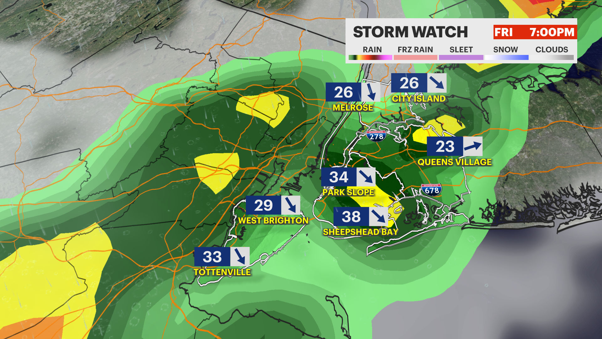 STORM WATCH: Strong to severe thunderstorms today with a dramatic drop in temps this weekend in the Bronx
News12 | Long Island STORM WATCH: Strong to severe thunderstorms today with a dramatic drop in temps this weekend in the Bronx Keep umbrellas handy. Another round of gusty storms arrives this evening. Oct 16, 2026…
- Cold front may bring 'severe thunderstorms' to Long Island Friday, National Weather Service says
The short range forecast from the National Weather Service shows rain is "likely" Friday with possible thunderstorms. Credit: National Weather Service A cold front bringing showers and thunderstorms to the area Friday…
-
 Cook Islands on high alert, weather office issues cyclone warning
Thursday 15 October 2026 | Written by Losirene Dasalusalu | Published in Climate Change, National A tropical cyclone warning is now in force for Suwarrow, where damaging gale-force winds, heavy rain, thunderstorms, and…
-
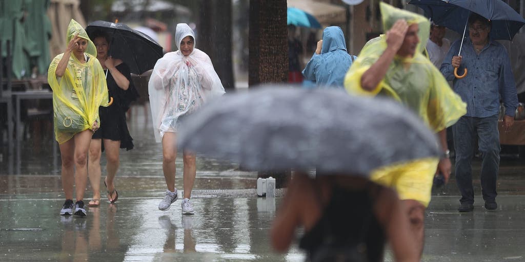 Slow-moving system could bring days of heavy rain and flooding to the Bahamas and Florida
A slow-moving system is developing near the Southwest Atlantic, bringing days of rain to Florida. Some areas could see 3 to 5 inches. A Level 1 out of 4 flash flood risk has been issued for Friday, while a Level 2 out…
-
 Cruise ship passengers who packed for trip to Bahamas stunned after bad weather forces them to sail to chilly Nova Scotia instead
Some cruise passengers aboard a Royal Caribbean ship are sorely under-packed after the boat rerouted from the sunny Bahamas to chilly Canada to avoid a storm. For 5,000 passengers aboard the Oasis of the Seas, which…
- Cruise passengers who packed for Bahamas stunned after weather forces them to sail to Nova Scotia
Some cruise passengers aboard a Royal Caribbean ship are sorely under-packed after the boat rerouted from the sunny Bahamas to chilly Canada to avoid a storm. For 5,000 passengers aboard the Oasis of the Seas, which…
- Bahamas warns of Gale-Force winds and dangerous seas as strong cold front approaches
A strong cold front is expected to bring powerful northeasterly winds, rough seas, heavy showers and possible coastal flooding to parts of The Bahamas from Saturday night through Tuesday, October 20. Written by WIC News…
Sun & moon
Nearby
- Nassau 7 km
- Andros Town 52 km
Forecasts, observations and alerts in the United States come from the National Weather Service (NOAA); radar from NOAA's Multi-Radar Multi-Sensor system; satellite imagery from NASA's Global Imagery Browse Services (GIBS) and NOAA's GOES satellites; the map from the U.S. Geological Survey's National Map; air quality from AirNow (EPA and its partners); hurricane information from the National Hurricane Center; climate normals and records from NOAA's Regional Climate Centers (ACIS). Forecasts outside the United States and the UV index: MET Norway (CC BY 4.0); observations outside the U.S.: airport reports via NOAA's Aviation Weather Center. Place names: GeoNames (CC BY 4.0). Data are copied on a schedule and may lag the sources; for warnings that affect your safety, follow your local National Weather Service office and emergency officials. Weather news is drawn from the 4Conservative index and reflects what the press published. Terms of use.