Install
Una, Bahia, Brazil Weather
Current conditions
Forecast for this hour (no station report in the last two hours)
Forecast
10-day-
Wednesday
Light showers. High 29°. Precipitation 3.6 mm for the day.
-
Wednesday Night
Showers. Low 22°. Precipitation 3.6 mm for the day.
-
Thursday
Rain. High 29°. Precipitation 3.3 mm for the day.
MET Norway forecast updated 10 hrs ago.
Hourly
Hourly forecast- Now29°
- 14:0029°
- 15:0028°
- 16:0027°
- 17:0026°
- 18:0025°
- 19:0024°0.2
- 20:0024°0.3
- 21:0023°0.2
- 22:0023°0.2
- 23:0023°0.2
- Thu00:0023°0.4
- 01:0023°0.3
- 02:0023°
- 03:0023°
- 04:0022°0.2
- 05:0022°0.2
- 06:0023°0.3
- 07:0024°
- 08:0025°0.3
- 09:0026°0.3
- 10:0027°0.5
- 11:0028°0.5
- 12:0028°0.2
Daily forecast
DetailsRadar
Full mapWeather news near Una
More weather news-
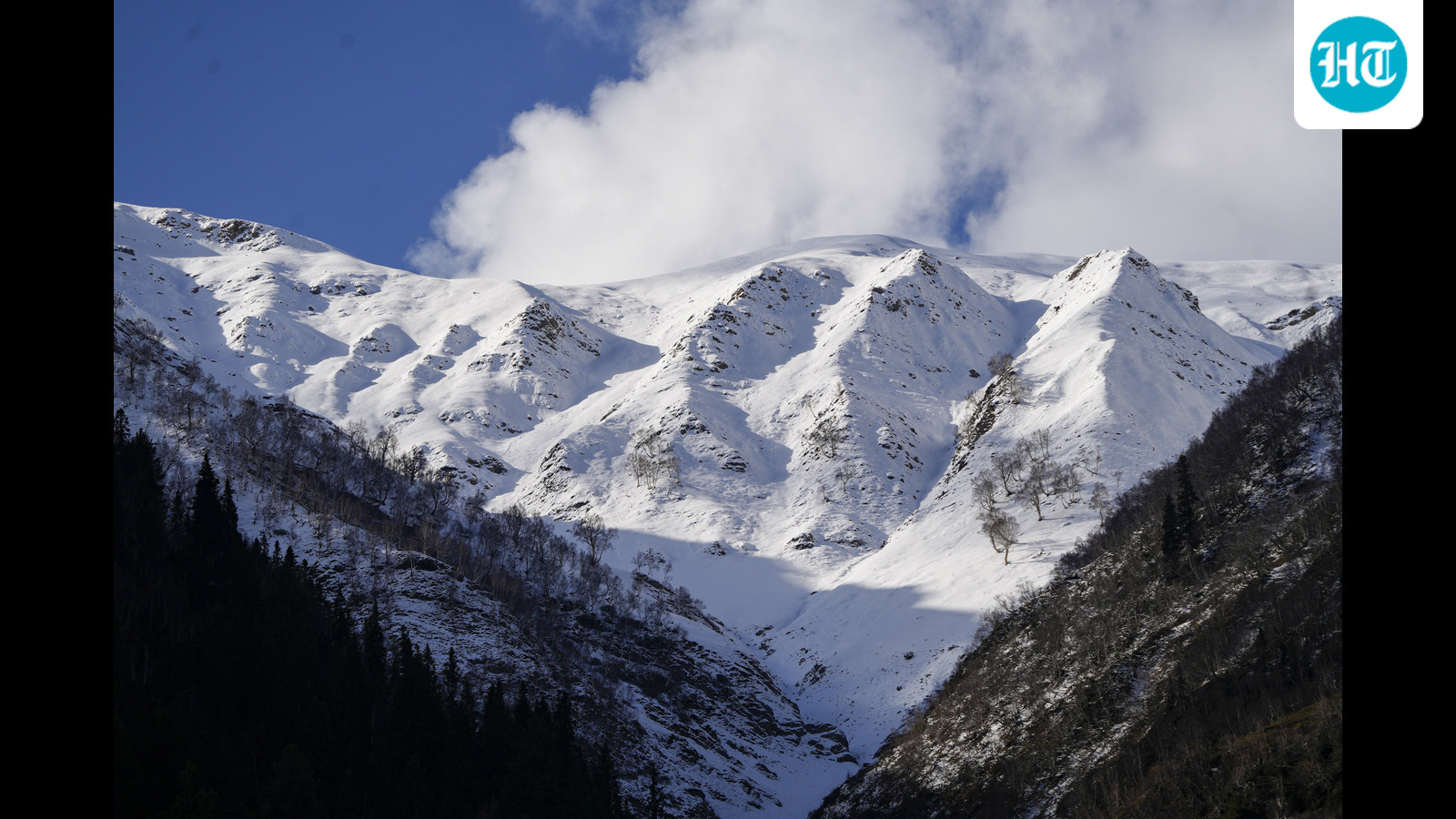 Sach Pass reopens after 2 day snowfall closure, bringing relief to Pangi Valley
Sach Pass, a vital road link which connects Pangi valley with the district headquarters in Chamba, has been cleared for the movement of small 4×4 vehicles, officials said on Saturday. However, the drivers have been…
-
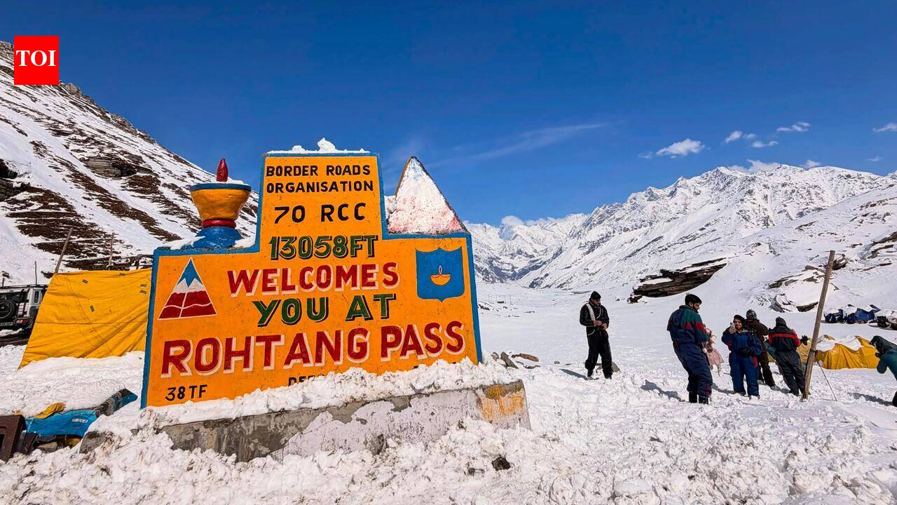 Dry weather expected in HP till Oct 23
The Times of India Shimla: Himachal Pradesh is likely to witness dry weather till Oct 23, with maximum temperatures expected to rise by 2-3â over the next four or five days, according to the meteorological…
- Trudy se intensifica rápidamente a huracán mayor
Por Tyler Ory, CNN Trudy se intensificó rápidamente hasta convertirse en un huracán de categoría 3 a unos 400 km al suroeste de Acapulco, México, según el reporte de las 5 a.m. hora de Miami del Centro Nacional de…
-
 Nunavunmi Iligiingnikkut Katimajiit turaaqhimajut havauhiinun, ajuiqtaghanik pijaghaniklu
Iqaluit, Nunavut (Tattiarnaqhilirvia 15, 2026) – Nunavunmi Havaqatigiiktut Katimajiit – Atangujat Katimajiit Kavamatkuni Nunavunmi (GN) ukualu Katimajiit hapkununga Nunavut Tunngavik Incorporatedkunun (NTI) – katimajut…
-
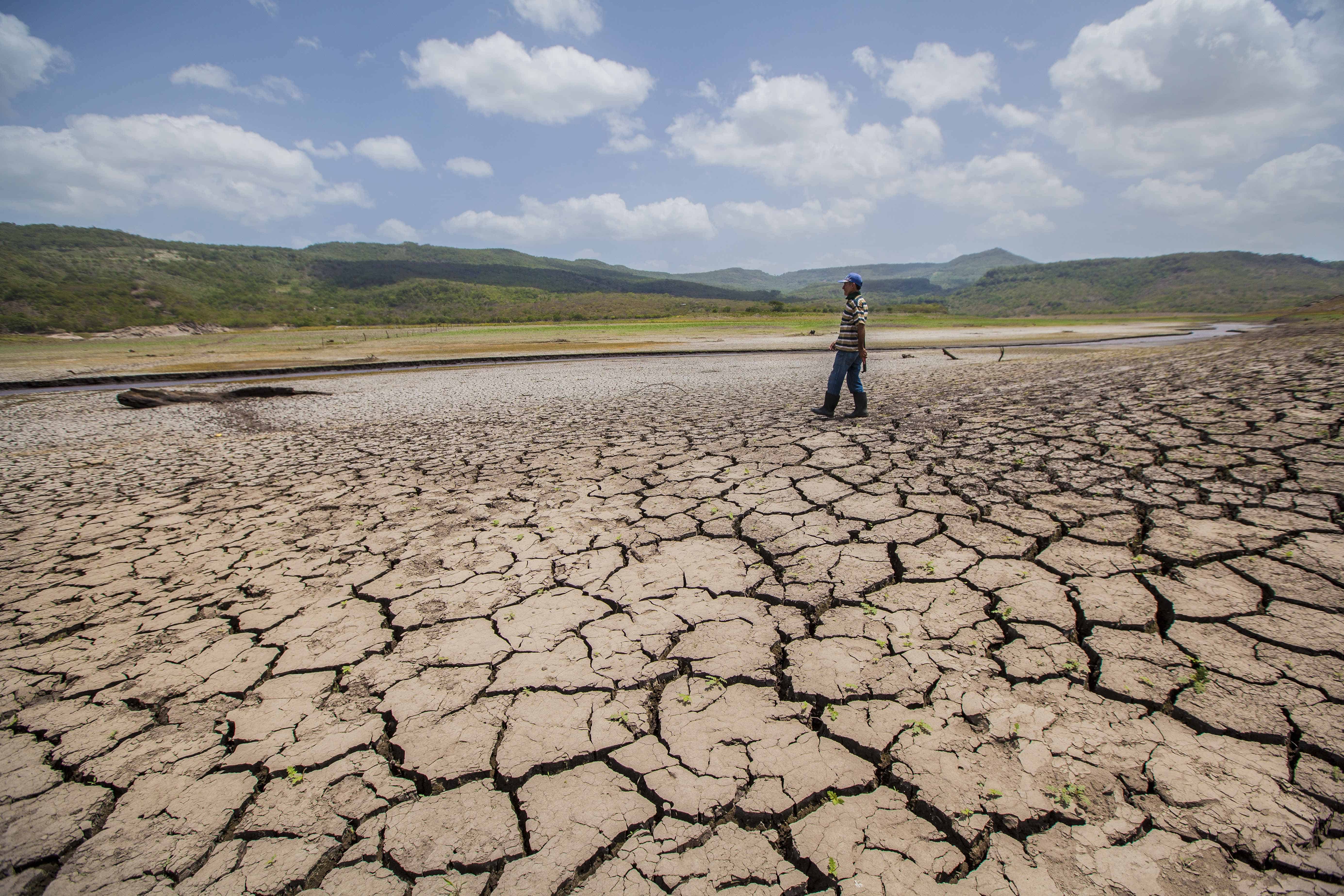 El Niño Peak Expected in December With Record-Warm Pacific Waters, WMO Warns
El Niño has not peaked yet. The World Meteorological Organization (WMO) expects the event to keep strengthening until around December, with sea surface temperatures in the central and eastern tropical Pacific forecast…
-
 Himachal Pradesh Experiences Snowfall and Rain, Dip in Temperatures
Himachal Pradesh experienced a noticeable drop in temperatures on Thursday as various parts of the state received snowfall and rain. The weather system was accompanied by orange and yellow weather alerts issued by the…
-
 LatAm Expat & Nomad Daily Guide for Tuesday, October 20, 2026
LatAm Expat & Nomad Daily Guide — Tuesday, October 20, 2026 As of 12:30 a.m. US Eastern Time (ET) · 1:30 a.m. Brasília, Tuesday 20 October 2026 · storm bulletin to Monday night, rates to the latest published fixing…
- A ‘super’ El Niño is impacting weather globally – here's how it could affect travel plans now and in the future
El Niño has officially arrived, and some forecasters are suggesting it could eventually develop into a rare “super” event capable of dramatically altering weather patterns across much of the planet, from the safari…
-
 First rain of the season to arrive in Bay Area Tuesday night
SAN FRANCISCO (KRON) -- The first rain of the season is due to arrive in the Bay Area Tuesday night, according to the National Weather Service. The NWS is advising of rain showers continuing through Thursday morning…
-
 LatAm Expat & Nomad Daily Guide for Monday, October 19, 2026
LatAm Expat & Nomad Daily Guide — Monday, October 19, 2026 As of 12:30 a.m. US Eastern Time (ET) · 1:30 a.m. Brasília, Monday 19 October 2026 · storm bulletins to Sunday night, rates to the latest published fixing…
Sun & moon
Nearby
- Ilhéus 55 km
- Canavieiras 45 km
- Camacan 47 km
- Buerarema 44 km
- Mascote 39 km
- Santa Luzia 32 km
- Arataca 37 km
- Itapé 58 km
- Jussari 46 km
- São José da Vitória 37 km
Forecasts, observations and alerts in the United States come from the National Weather Service (NOAA); radar from NOAA's Multi-Radar Multi-Sensor system; satellite imagery from NASA's Global Imagery Browse Services (GIBS) and NOAA's GOES satellites; the map from the U.S. Geological Survey's National Map; air quality from AirNow (EPA and its partners); hurricane information from the National Hurricane Center; climate normals and records from NOAA's Regional Climate Centers (ACIS). Forecasts outside the United States and the UV index: MET Norway (CC BY 4.0); observations outside the U.S.: airport reports via NOAA's Aviation Weather Center. Place names: GeoNames (CC BY 4.0). Data are copied on a schedule and may lag the sources; for warnings that affect your safety, follow your local National Weather Service office and emergency officials. Weather news is drawn from the 4Conservative index and reflects what the press published. Terms of use.