Install
Salinas, Minas Gerais, Brazil Weather
Current conditions
Forecast for this hour (no station report in the last two hours)
Forecast
10-day-
Wednesday
Partly cloudy. High 30°.
-
Wednesday Night
Cloudy. Low 24°.
-
Thursday
Light showers. High 32°. Precipitation 0.6 mm for the day.
MET Norway forecast updated 6 hrs ago.
Hourly
Hourly forecast- Now24°
- 23:0024°
- Thu00:0023°
- 01:0023°
- 02:0022°
- 03:0022°
- 04:0022°
- 05:0022°
- 06:0022°
- 07:0023°
- 08:0024°
- 09:0026°0.2
- 10:0027°
- 11:0029°
- 12:0030°0.2
- 13:0032°
- 14:0032°
- 15:0032°
- 16:0031°
- 17:0030°
- 18:0029°
- 19:0028°
- 20:0027°
- 21:0025°
10-day forecast
DetailsRadar
Full mapWeather news near Salinas
More weather news-
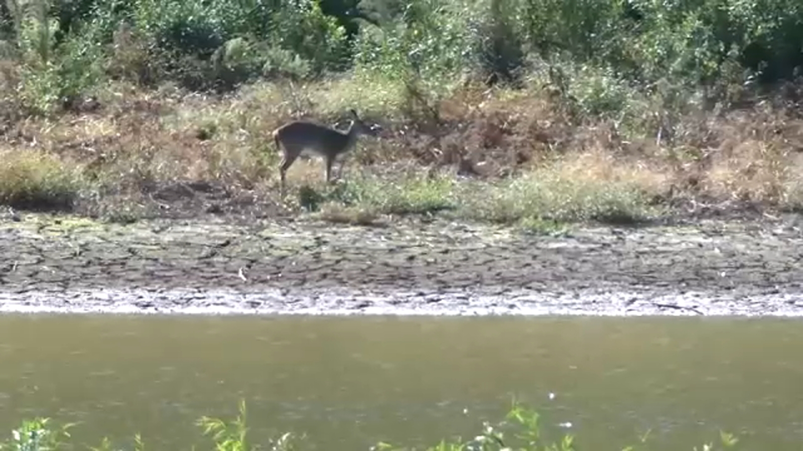 As Durham County remains in severe drought, Lake Michie Park and Marina remain closed
DURHAM, N.C. (WTVD) -- Durham County remains in severe drought, with conditions showing little improvement despite recent rainfall. At Lake Michie, home to Duke Rowing, much of the shoreline remains exposed. The Lake…
-
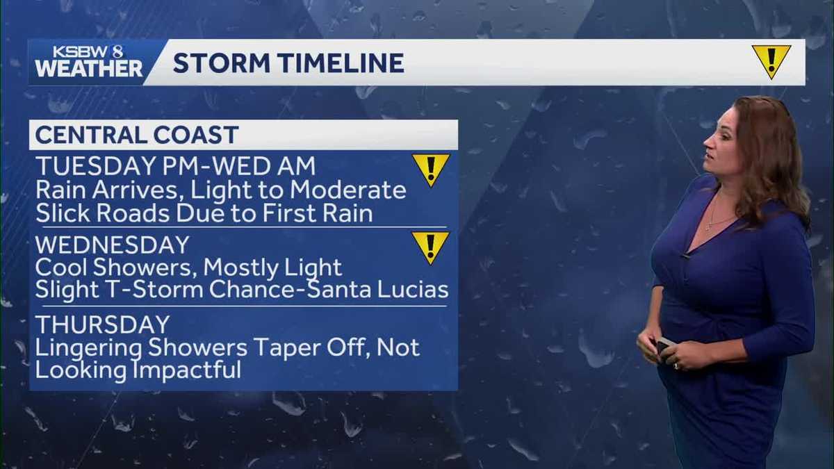 First rain chances of the season
KSBW Light rain is expected to begin Tuesday evening along the Central Coast before spreading across the broader region Showers could linger through Thursday, with the Central Coast likely receiving the highest rainfall…
-
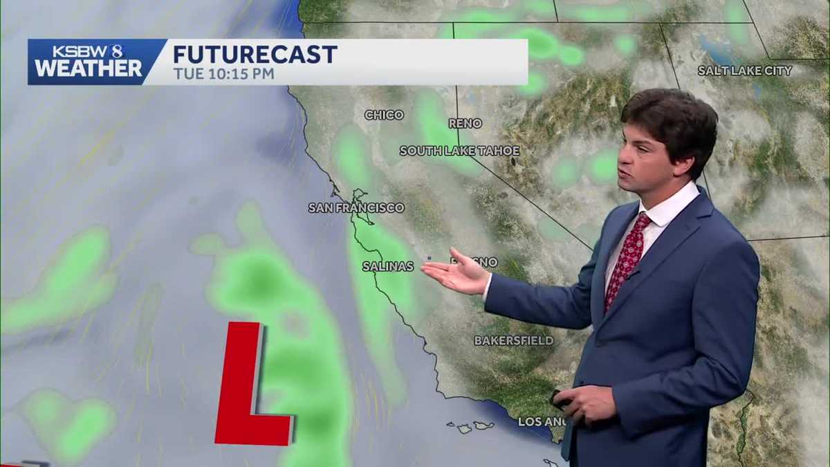 A cooler, wetter pattern takes hold across the Central Coast
A midweek storm brings light rain to the Central Coast and Bay Area, with a slight chance of thunderstorms near the Santa Lucia Range and southern Monterey County ... The cooldown continues Monday as a low-pressure…
-
 Near average temperatures at the start of this week, warming up by the weekend | 10/18 PM
Near average temperatures at the start of this week, warming up by the weekend LAWTON, Okla. (KSWO) - Temperatures will drop into the mid 40’s to the upper 50’s tonight remaining near the average this time of year…
- Sunday, Oct. 18, 2026: Spotty shower, temps in the 70s
Download our free KRGV FIRST WARN 5 Weather app for the latest updates right on your phone. Sunday, Oct. 18, 2026: Spotty shower, temps in the 70s You can also follow our KRGV First Warn 5 Weather team on Facebook and…
-
 Mostly sunny and cool for your Sunday; a slow warming trend this week | 10/18 AM
KSWO 7News LAWTON, Okla. (KSWO) -Another chilly morning with 30s and 40s across the area. Winds are very calm this morning and that has allowed temperatures to drop. We will warm up to the 60s and low 70s today with…
-
 Cooler temperatures persist into tonight, temperatures warming up through the week | 10/17 PM
KSWO 7News Going throughout your week slight chances of rain will pop up on Monday night into Tuesday. These showers will be small and scattered with only a 10% chance for our area. As we approach mid-week temperatures…
- Saturday, Oct. 17, 2026: Windy, cooler, temps in the 70s
Download our free KRGV FIRST WARN 5 Weather app for the latest updates right on your phone. Saturday, Oct. 17, 2026: Windy, cooler, temps in the 70s You can also follow our KRGV First Warn 5 Weather team on Facebook and…
-
 Cold start to the weekend; gradual warm up next week | 10/17 AM
KSWO 7News LPD identifies victim in deadly shooting on Southwest Salinas 2027 pay raise for disabled veterans, military retirees announced ’Some sus s--- going on’: What Nolan Wells’ friends said in texts after he…
- A ‘super’ El Niño is impacting weather globally – here's how it could affect travel plans now and in the future
El Niño has officially arrived, and some forecasters are suggesting it could eventually develop into a rare “super” event capable of dramatically altering weather patterns across much of the planet, from the safari…
Sun & moon
Nearby
- Taiobeiras 41 km
- Coronel Murta 51 km
- Curral de Dentro 54 km
- Comercinho 55 km
- Rubelita 27 km
- Padre Carvalho 32 km
- Fruta de Leite 26 km
- Novorizonte 21 km
- Santa Cruz de Salinas 59 km
- Josenópolis 48 km
Forecasts, observations and alerts in the United States come from the National Weather Service (NOAA); radar from NOAA's Multi-Radar Multi-Sensor system; satellite imagery from NASA's Global Imagery Browse Services (GIBS) and NOAA's GOES satellites; the map from the U.S. Geological Survey's National Map; air quality from AirNow (EPA and its partners); hurricane information from the National Hurricane Center; climate normals and records from NOAA's Regional Climate Centers (ACIS). Forecasts outside the United States and the UV index: MET Norway (CC BY 4.0); observations outside the U.S.: airport reports via NOAA's Aviation Weather Center. Place names: GeoNames (CC BY 4.0). Data are copied on a schedule and may lag the sources; for warnings that affect your safety, follow your local National Weather Service office and emergency officials. Weather news is drawn from the 4Conservative index and reflects what the press published. Terms of use.