Install
Palmas, Paraná, Brazil Weather
Current conditions
Forecast for this hour (no station report in the last two hours)
Forecast
10-day-
Sunday
Light showers. High 19°. Precipitation 2.3 mm for the day.
-
Sunday Night
Heavy rain. Low 10°. Precipitation 2.3 mm for the day.
-
Monday
Cloudy. High 18°.
MET Norway forecast updated 3 hrs ago.
Hourly
Hourly forecast- Now14°
- 08:0013°
- 09:0014°
- 10:0014°
- 11:0014°
- 12:0017°
- 13:0018°
- 14:0019°
- 15:0018°
- 16:0017°
- 17:0016°
- 18:0015°
- 19:0013°
- 20:0012°
- 21:0011°
- 22:0011°
- 23:0010°
- Mon00:009°
- 01:009°
- 02:008°
- 03:008°
- 04:008°
- 05:008°
- 06:009°
Daily forecast
DetailsRadar
Full mapWeather news near Palmas
More weather news-
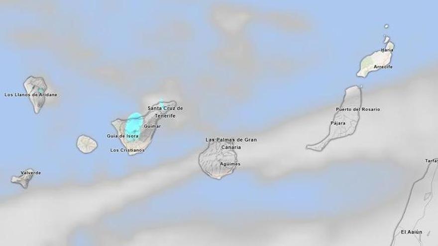 Haze and Clouds to Define Tenerife’s Weather This Saturday
Maximum temperatures will remain stable or rise slightly, while minimums are predicted to increase modestly. In Santa Cruz de Tenerife, temperatures are expected to range from 22 to 27 degrees Celsius. Moderate winds…
- Wild Weather Thursday a Gustnado Near Highway 395 in Victorville
VICTORVILLE, CA. ( Pain In The Pass) >> Southern California is being hit with some wild weather as an El Nino-fueled storm moves through SoCal on Thursday. Video was sent to the Pain In The Pass from a motorist Jolina…
-
 Mallorca weather for Friday, October 23
With the exception of Saturday, forecast highs are above average. Could be a spot of rain on Saturday Sunny with cloudy spells on Friday, and it may be quite breezy from the northwest at times Highs remaining a touch…
-
 Western Canary Islands face orange rain warnings
RUSSPAIN.com Residents in the western Canary Islands are being urged to keep vehicles out of ravine channels, even when skies are clear La Palma and La Gomera are under orange rain warnings, and El Hierro has the same…
-
 Mallorca weather for Thursday, October 22
A very calm day in prospect. Breezier on Friday, when there may be some rain in northern areas Wednesday summary as of 4.30pm - Highs of 25.7 Son Servera, 24.9 Portocolom, Sa Pobla, 24.8 Capdepera, 24.7 Arta, 24.5 Palma…
-
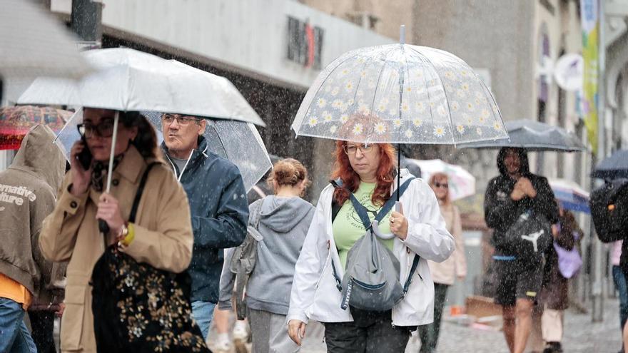 Weather Warning for Heavy Rain Across the Canary Islands: Severe Showers and Storms Expected on Wednesday
Unsettled weather will continue to impact various parts of the Canary Islands on Wednesday, with locally heavy rain and potential storms expected throughout the day. Morning storms were reported in northern…
-
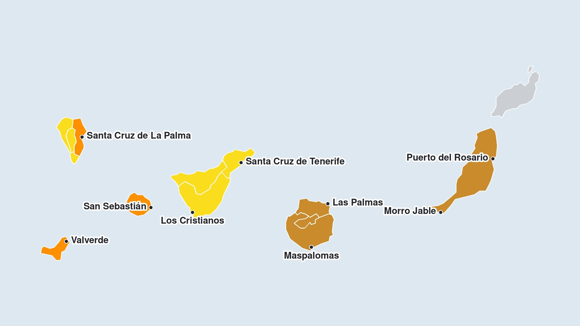 Rain warning issued for the Canary Islands; three islands on orange alert
In the east of La Palma, up to 30 millimetres of rain per hour is possible on Thursday. The AEMET also forecasts up to 30 millimetres per hour for El Hierro and La Gomera. The probability of the forecast rainfall is…
-
 Canary Islands on alert for a cold low-pressure system: Aemet extends rain warnings
The Canary Islands are experiencing another day of unstable weather this Tuesday, 20 October, with yellow rain warnings in place for La Palma and El Hierro as a mass of humid, unstable air moves across the archipelago…
-
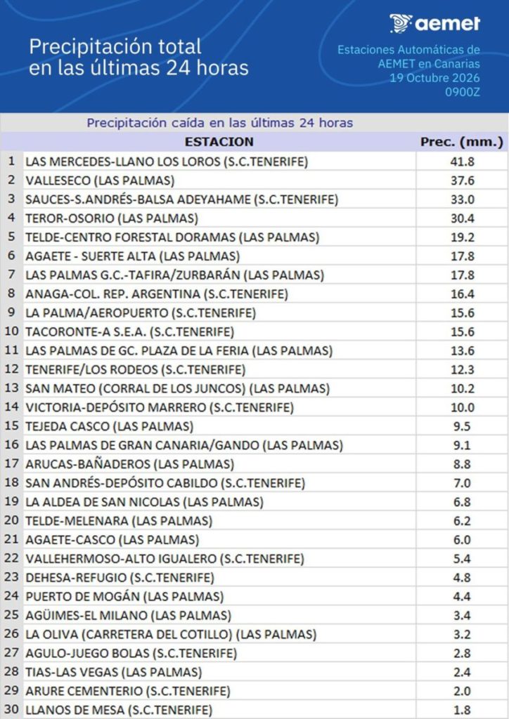 Rainfall in the Canary Islands: Aemet Records Over 40 Litres in 24 Hours
Heavy rainfall in the Canary Islands over the past 24 hours has led to accumulations exceeding 40 litres per square metre in various locations. According to the State Meteorological Agency (Aemet), the highest total was…
-
 Change in the weather in the Canary Islands: Aemet forecasts cooler temperatures and some rain
Weather conditions in the Canary Islands will begin to change this Saturday, 17 October, as the calima gradually weakens and temperatures fall across much of the archipelago. According to the State Meteorological Agency…
Sun & moon
Nearby
- Xanxerê 60 km
- Abelardo Luz 35 km
- Clevelândia 37 km
- Bituruna 57 km
- Faxinal dos Guedes 49 km
- Ponte Serrada 43 km
- São Domingos 54 km
- Ipuaçu 49 km
- Mariópolis 58 km
- Coronel Domingos Soares 29 km
- Honório Serpa 55 km
- Passos Maia 34 km
Forecasts, observations and alerts in the United States come from the National Weather Service (NOAA); radar from NOAA's Multi-Radar Multi-Sensor system; satellite imagery from NASA's Global Imagery Browse Services (GIBS) and NOAA's GOES satellites; the map from the U.S. Geological Survey's National Map; air quality from AirNow (EPA and its partners); hurricane information from the National Hurricane Center; climate normals and records from NOAA's Regional Climate Centers (ACIS). Forecasts outside the United States and the UV index: MET Norway (CC BY 4.0); observations outside the U.S.: airport reports via NOAA's Aviation Weather Center. Place names: GeoNames (CC BY 4.0). Data are copied on a schedule and may lag the sources; for warnings that affect your safety, follow your local National Weather Service office and emergency officials. Weather news is drawn from the 4Conservative index and reflects what the press published. Terms of use.