Install
Laguna, Santa Catarina, Brazil Weather
Current conditions
Forecast for this hour (no station report in the last two hours)
Forecast
10-day-
Wednesday
Cloudy. High 20°.
-
Wednesday Night
Cloudy. Low 17°.
-
Thursday
Cloudy. High 20°.
MET Norway forecast updated 3 hrs ago.
Hourly
Hourly forecast- Now19°
- 09:0019°
- 10:0019°
- 11:0019°
- 12:0019°
- 13:0020°
- 14:0020°
- 15:0020°
- 16:0019°
- 17:0019°
- 18:0019°
- 19:0019°
- 20:0019°
- 21:0019°
- 22:0019°
- 23:0019°
- Thu00:0019°
- 01:0019°
- 02:0019°
- 03:0019°
- 04:0019°
- 05:0019°
- 06:0019°
- 07:0019°
Daily forecast
DetailsRadar
Full mapWeather news near Laguna
More weather news- A wave of uncertainty: What the El Niño brings to the California coast
Beach closures, flooding neighborhoods, rising temperatures and high surf advisories: What else does this ongoing “Super” El Niño storm have in store for the California coast, and how will it permanently alter these…
-
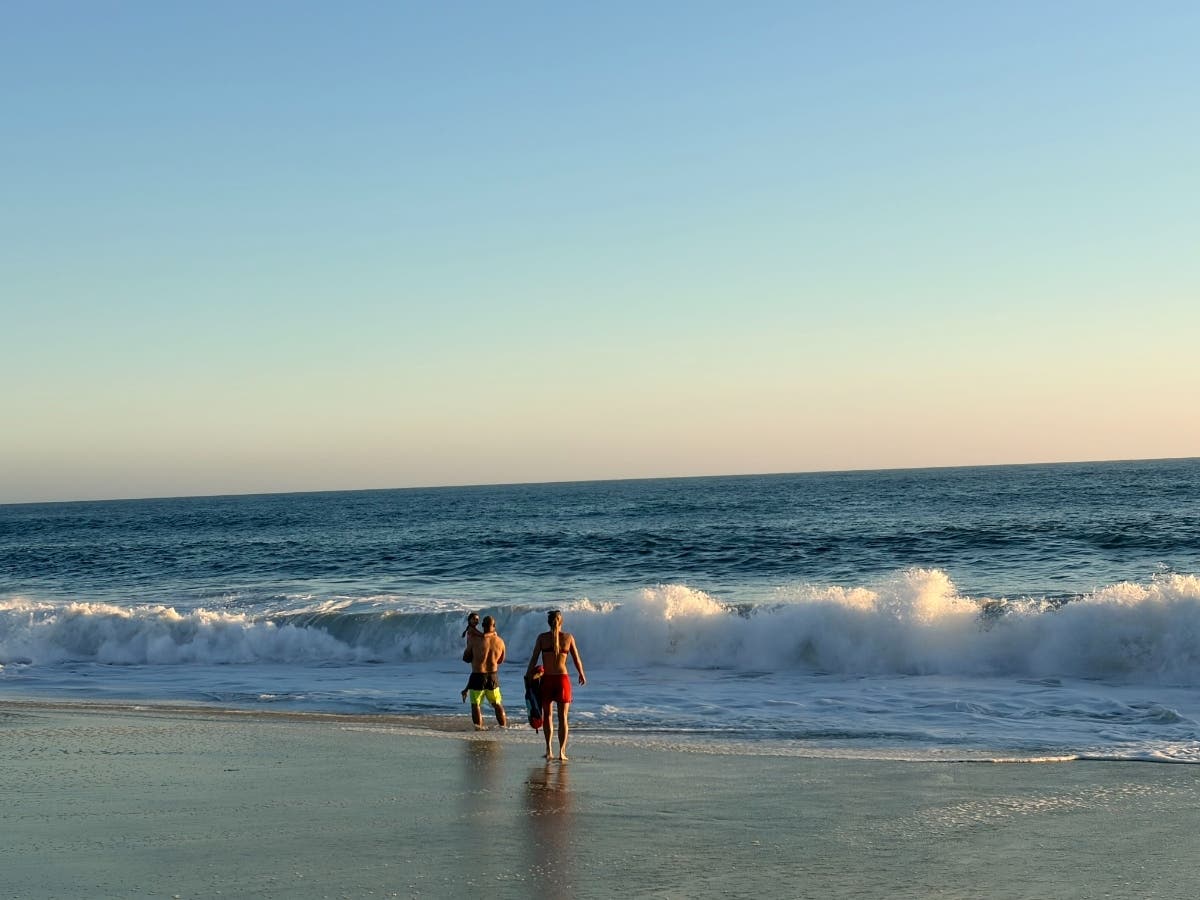 Yellow-Flag Surf Hits Laguna Beaches Through Weekend: What To Know
LAGUNA BEACH, CA — Laguna Beach residents should remain wary of the waves, after yellow-flag surf was predicted to hit the coast through the weekend. Laguna Beach Marine Safety Chief Kai Bond took to social media to…
- Mientras el huracán Simon sigue su camino, la tormenta Trudy toma fuerza y podría impactar en Jalisco el fin de semana
Trudy se localizaba la mañana de este miércoles a 535 kilómetros al sur-suroeste de Lagunas de Chacahua, Oaxaca, y a unos 600 kilómetros al sur de Acapulco, Guerrero, y avanzaba hacia el oeste-noroeste a 20 kilómetros…
- Santa Ana Sizzler: Downtown LA Braces for Hot, Windy Blast and Fire Fears
Wednesday will bring sunshine and a high near 81, with no rain expected. Northeast gusts of 25 to 35 mph are forecast in the morning, below advisory levels. The bigger change arrives Thursday, when temperatures climb…
-
 CALABARZON, MIMAROPA face 2027 drought threat
Several provinces in CALABARZON and MIMAROPA could face meteorological drought by January 2027 as below-normal rainfall conditions are expected to spread across the country, according to the latest six-month outlook of…
-
 LatAm Expat & Nomad Daily Guide for Tuesday, October 20, 2026
LatAm Expat & Nomad Daily Guide — Tuesday, October 20, 2026 As of 12:30 a.m. US Eastern Time (ET) · 1:30 a.m. Brasília, Tuesday 20 October 2026 · storm bulletin to Monday night, rates to the latest published fixing…
- A ‘super’ El Niño is impacting weather globally – here's how it could affect travel plans now and in the future
El Niño has officially arrived, and some forecasters are suggesting it could eventually develop into a rare “super” event capable of dramatically altering weather patterns across much of the planet, from the safari…
-
 First rain of the season to arrive in Bay Area Tuesday night
SAN FRANCISCO (KRON) -- The first rain of the season is due to arrive in the Bay Area Tuesday night, according to the National Weather Service. The NWS is advising of rain showers continuing through Thursday morning…
-
 LatAm Expat & Nomad Daily Guide for Monday, October 19, 2026
LatAm Expat & Nomad Daily Guide — Monday, October 19, 2026 As of 12:30 a.m. US Eastern Time (ET) · 1:30 a.m. Brasília, Monday 19 October 2026 · storm bulletins to Sunday night, rates to the latest published fixing…
- Phoenix Weather Windy Saturday Rain Chances Cooler Midweek
Before sunrise Saturday, mostly cloudy skies and strong easterly winds were already pushing across the Valley. The city is headed for a high near 81, with a slight chance of rain arriving late in the afternoon. East…
Sun & moon
Nearby
- São José 48 km
- Tubarão 22 km
- Içara 57 km
- Imbituba 29 km
- Braço do Norte 44 km
- Capivari de Baixo 18 km
- Orleans 52 km
- Garopaba 54 km
- Urussanga 53 km
- Jaguaruna 28 km
- Morro da Fumaça 46 km
- Cocal do Sul 55 km
Forecasts, observations and alerts in the United States come from the National Weather Service (NOAA); radar from NOAA's Multi-Radar Multi-Sensor system; satellite imagery from NASA's Global Imagery Browse Services (GIBS) and NOAA's GOES satellites; the map from the U.S. Geological Survey's National Map; air quality from AirNow (EPA and its partners); hurricane information from the National Hurricane Center; climate normals and records from NOAA's Regional Climate Centers (ACIS). Forecasts outside the United States and the UV index: MET Norway (CC BY 4.0); observations outside the U.S.: airport reports via NOAA's Aviation Weather Center. Place names: GeoNames (CC BY 4.0). Data are copied on a schedule and may lag the sources; for warnings that affect your safety, follow your local National Weather Service office and emergency officials. Weather news is drawn from the 4Conservative index and reflects what the press published. Terms of use.