Install
Cruz, Ceará, Brazil Weather
Current conditions
Forecast for this hour (no station report in the last two hours)
Forecast
10-day-
Wednesday
Light showers. High 34°. Precipitation 0.3 mm for the day.
-
Wednesday Night
Partly cloudy. Low 25°. Precipitation 0.3 mm for the day.
-
Thursday
Light showers. High 33°. Precipitation 1.2 mm for the day.
MET Norway forecast updated 1 hr ago.
Hourly
Hourly forecast- Now26°
- 07:0028°
- 08:0030°
- 09:0032°
- 10:0033°
- 11:0034°0.2
- 12:0033°
- 13:0033°
- 14:0032°
- 15:0031°
- 16:0030°
- 17:0029°
- 18:0028°
- 19:0027°
- 20:0027°
- 21:0027°
- 22:0027°
- 23:0027°
- Thu00:0026°
- 01:0026°
- 02:0026°
- 03:0026°
- 04:0025°
- 05:0025°
Daily forecast
DetailsRadar
Full mapWeather news near Cruz
More weather news-
 Bay Area could see its most rain since May. Here's how much to expect
The Bay Area will soon see its first legitimate rain chance of the season, but the window for wet weather is trending later and weaker than previously indicated. Rain is not expected to begin until Wednesday morning at…
-
 First rain of season coming to Bay Area, flash flood warning on coast
The Bay Bridge and buildings during rainy weather as seen from Treasure Island in San Francisco on Nov. 17, 2025. Days after hot and dry weather led to red flag warnings in the North Bay, the Bay Area is forecast to get…
- Bay Area gets weather whiplash with first rain of the season expected this week
The Bay Bridge and buildings during rainy weather as seen from Treasure Island in San Francisco on Nov. 17, 2025. Days after hot and dry weather led to red flag warnings in the North Bay, the Bay Area is forecast to get…
-
 Severe thunderstorm warning upgraded to Yellow Level 4 in KZN
Home » News » Weather » Severe thunderstorm warning upgraded to Yellow Level 4 in KZN SAWS has upgraded its KZN storm warning to Yellow Level 4, with heavy rain, possible hail and lightning threatening flooding and…
- Sunny San Jose Near 80 Today Before Fog, Midweek Showers Roll In
Monday will be partly sunny with a high near 70. The midweek pattern looks more like intermittent light rain than an all-day washout, but morning visibility could be reduced by fog. Skies are expected to be mostly sunny…
-
 Hurricane Trudy approaches Mexico’s Pacific coast
Three Mexican states are expecting up to 200 mm of rain, with some areas seeing up to 300 mm. Forecasters warn of dangerous flooding and landslides. According to the U.S. National Hurricane Center, Hurricane Trudy has…
-
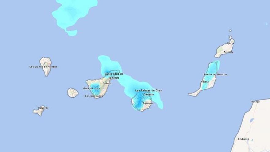 Will it rain this Sunday in Tenerife? Aemet forecasts persistent afternoon rainfall.
Tenerife is set to experience a cloudy day on Sunday, with occasional light rain expected. According to the State Meteorological Agency (Aemet), the weather may shift in the afternoon, particularly in the northern…
-
 Change in the weather in the Canary Islands: Aemet forecasts cooler temperatures and some rain
Weather conditions in the Canary Islands will begin to change this Saturday, 17 October, as the calima gradually weakens and temperatures fall across much of the archipelago. According to the State Meteorological Agency…
-
 Sophia Cruz's Idaho News 6 Forecast - 10/16/2026
KIVI-TV Sophia Cruz's Idaho News 6 Forecast - 10/16/2026
-
 Weatherman Ken @ 10: Warm and Humid to Windy and Wet, to Colder and Dry
KCRG Weatherman Ken @ 10: Warm and Humid to Windy and Wet, to Colder and Dry Passenger thrown from assisted living van in crash that closed NC-133 Flight from Toronto diverts to Wilmington airport after passenger…
Sun & moon
Nearby
- Acaraú 7 km
- Itarema 29 km
- Bela Cruz 14 km
- Marco 23 km
- Morrinhos 35 km
- Jijoca de Jericoacoara 30 km
- Senador Sá 57 km
Forecasts, observations and alerts in the United States come from the National Weather Service (NOAA); radar from NOAA's Multi-Radar Multi-Sensor system; satellite imagery from NASA's Global Imagery Browse Services (GIBS) and NOAA's GOES satellites; the map from the U.S. Geological Survey's National Map; air quality from AirNow (EPA and its partners); hurricane information from the National Hurricane Center; climate normals and records from NOAA's Regional Climate Centers (ACIS). Forecasts outside the United States and the UV index: MET Norway (CC BY 4.0); observations outside the U.S.: airport reports via NOAA's Aviation Weather Center. Place names: GeoNames (CC BY 4.0). Data are copied on a schedule and may lag the sources; for warnings that affect your safety, follow your local National Weather Service office and emergency officials. Weather news is drawn from the 4Conservative index and reflects what the press published. Terms of use.