Install
Watermael-Boitsfort, Brussels Capital, Belgium Weather
Current conditions
Observed at Brussels Intl · 1 hr ago
Forecast
10-day-
Sunday
Partly cloudy. High 13°. Precipitation 12.3 mm for the day.
-
Sunday Night
Heavy rain. Low 10°. Precipitation 12.3 mm for the day.
-
Monday
Rain. High 15°. Precipitation 1.4 mm for the day.
MET Norway forecast updated 2 days ago.
Hourly
Hourly forecast- Now10°
- Mon00:009°
- 01:009°
- 02:009°
- 03:008°
- 04:008°
- 05:008°
- 06:009°
Daily forecast
DetailsRadar
Full mapWeather news near Watermael-Boitsfort
More weather news-
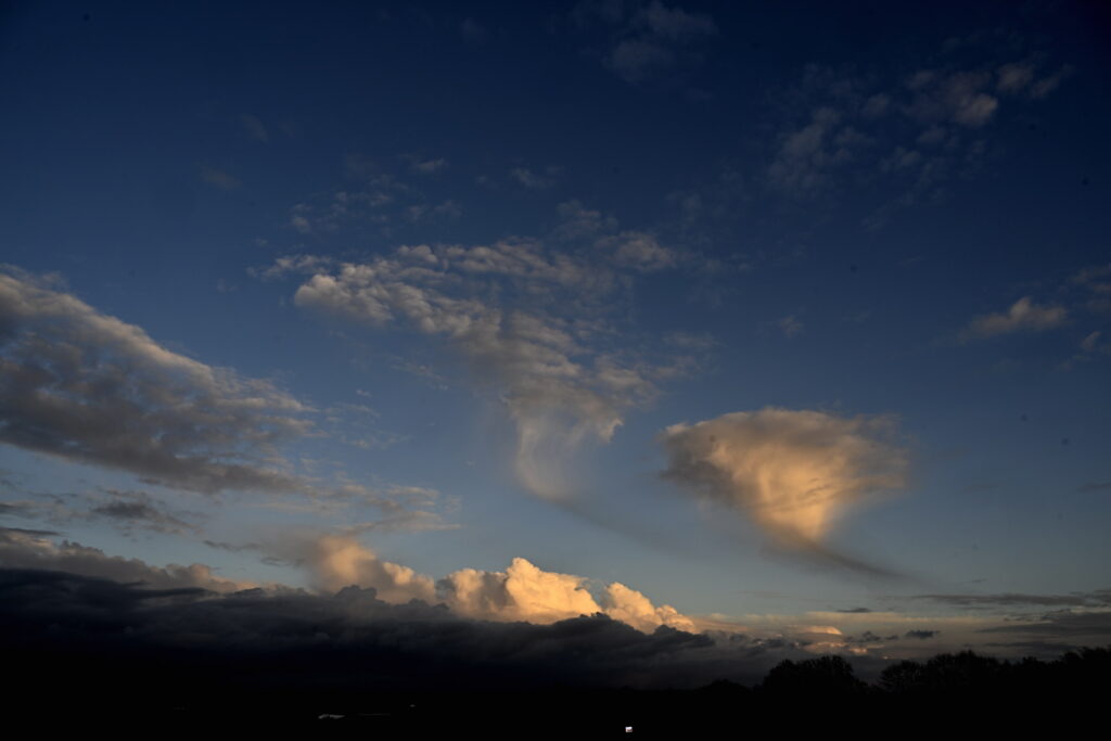 Brussels wakes to crisp autumn skies on Tuesday before clouds roll in
Tuesday will begin dry and bright in Brussels and across much of Belgium, before clouds move in from the south during the afternoon, bringing a slight chance of light rain or showers, according to the Royal…
-
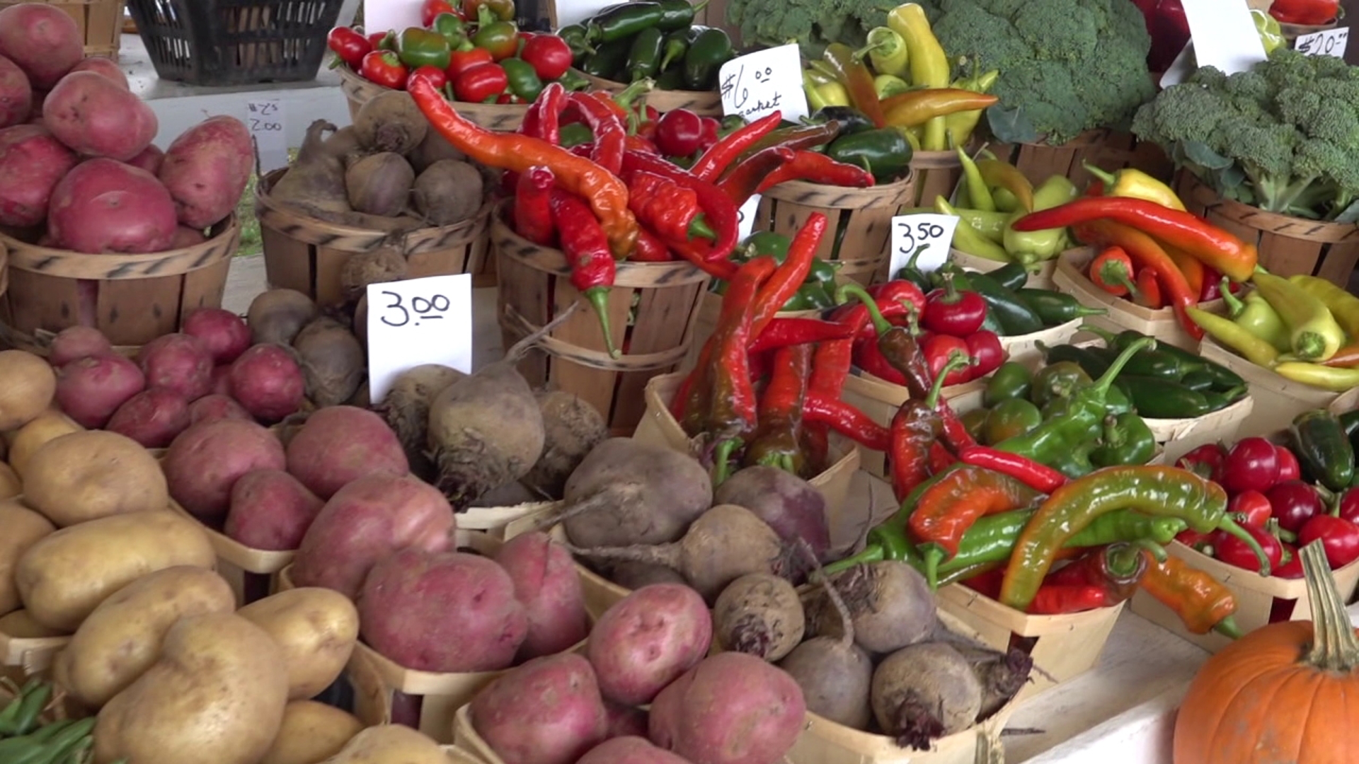 Farmers prepare for first widespread freeze of fall
LUZERNE COUNTY, Pa. — Growers are preparing for the incoming freeze on Sunday morning. Temperatures are expected to be below the freezing mark. It'll be the coldest some have been since mid-May. "Today, tomorrow…
-
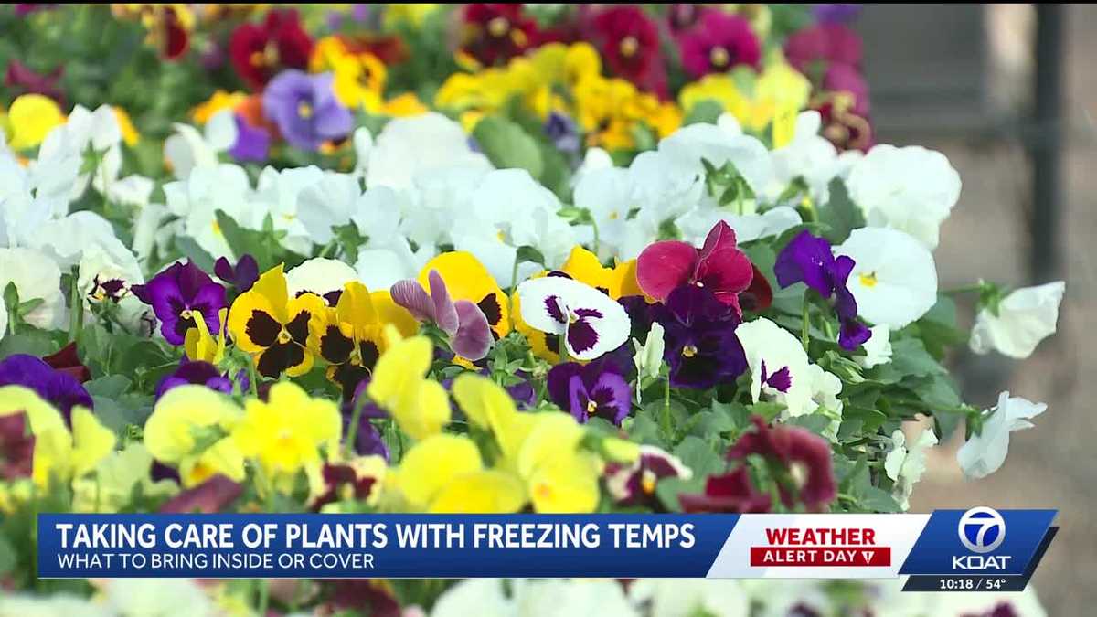 Garden expert shares tips to protect plants from freezing temps
Freezing temperatures have already descended on parts of New Mexico, prompting advice from botanical experts on how to protect plants during frigid conditions. "Anything that's really cold-tender, like your herbs, your…
-
 How and why do we name storms?
The UK is braced for its second storm of the season just more than 24 hours after the first passed. Here is everything you need to know about why storms are named and how a name is chosen. – Why do we name storms? In…
Sun & moon
Nearby
- Brussels 7 km
- Anderlecht 8 km
- Schaerbeek 8 km
- Leuven 22 km
- Molenbeek-Saint-Jean 9 km
- Ixelles 5 km
- Uccle 5 km
- Aalst 31 km
- Mechelen 25 km
- Woluwe-Saint-Lambert 5 km
- Forest 6 km
- Jette 10 km
Forecasts, observations and alerts in the United States come from the National Weather Service (NOAA); radar from NOAA's Multi-Radar Multi-Sensor system; satellite imagery from NASA's Global Imagery Browse Services (GIBS) and NOAA's GOES satellites; the map from the U.S. Geological Survey's National Map; air quality from AirNow (EPA and its partners); hurricane information from the National Hurricane Center; climate normals and records from NOAA's Regional Climate Centers (ACIS). Forecasts outside the United States and the UV index: MET Norway (CC BY 4.0); observations outside the U.S.: airport reports via NOAA's Aviation Weather Center. Place names: GeoNames (CC BY 4.0). Data are copied on a schedule and may lag the sources; for warnings that affect your safety, follow your local National Weather Service office and emergency officials. Weather news is drawn from the 4Conservative index and reflects what the press published. Terms of use. How to use Weather