Install
Harelbeke, Flanders, Belgium Weather
Current conditions
Observed at Lille/Lesquin Arpt · 45 min ago
Forecast
10-day-
Wednesday
Cloudy. High 14°.
-
Wednesday Night
Cloudy. Low 8°.
-
Thursday
Heavy showers. High 15°. Precipitation 4.6 mm for the day.
MET Norway forecast updated 1 day ago.
Hourly
Hourly forecast- Now13°
- 16:0014°
- 17:0013°
- 18:0012°
- 19:0011°
- 20:0010°
- 21:009°
- 22:009°
- 23:008°
- Thu00:008°
- 01:008°
- 02:008°
- 03:008°
- 04:008°
- 05:008°
- 06:008°1.0
- 07:008°0.6
- 08:008°0.5
- 09:008°0.8
- 10:009°1.0
- 11:0010°0.2
- 12:0011°
- 13:0012°0.3
- 14:0014°
Daily forecast
DetailsRadar
Full mapWeather news near Harelbeke
More weather news-
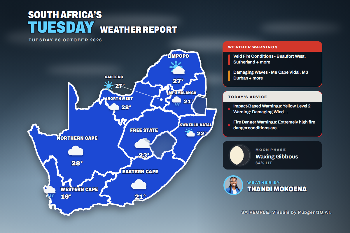 Here is today’s weather by province: Damaging waves expected along the KwaZulu-Natal coast today
Home » Here is today’s weather by province: Damaging waves expected along the KwaZulu-Natal coast today Mahikeng swings from a chilly 6°C at dawn to the country’s warmest reading of 28°C, while Cape Town tops out at…
-
 Always Fighting Over the Air-Con Temperature at Home or Work? Here’s Why
Every Malaysian office seems to have two types of people: the one wrapped in a jacket like they’re holidaying in Genting Highlands, and the one complaining that the air-con isn’t cold enough. “Eh, can make the air-con…
-
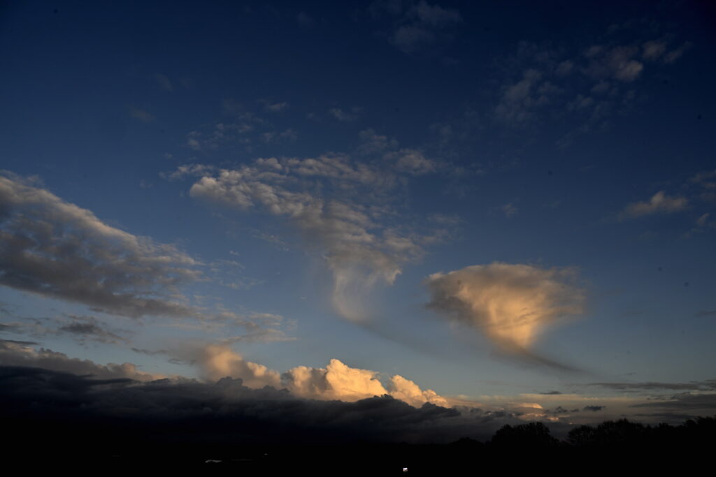 Brussels wakes to crisp autumn skies on Tuesday before clouds roll in
Tuesday will begin dry and bright in Brussels and across much of Belgium, before clouds move in from the south during the afternoon, bringing a slight chance of light rain or showers, according to the Royal…
-
 Temperatures to grow after cold, chilly Sunday
Sunday afternoon will be mostly cloudy across Belgium, with a chance of a few showers and temperatures remaining cool for the time of year, the Royal Meteorological Institute has forecast. Some brighter spells are…
-
 Video. Weather Europe Today (2026/10/18)
Euronews.com Video. Weather Europe Today (2026/10/18) Get the latest weather forecast from Euronews, covering conditions across Europe and around the world. Our regular weather update walks you through temperatures…
- Video. Weather Europe Today (2026/10/17)
Euronews.com Video. Weather Europe Today (2026/10/17) Get the latest weather forecast from Euronews, covering conditions across Europe and around the world. Our regular weather update walks you through temperatures…
Sun & moon
Nearby
Forecasts, observations and alerts in the United States come from the National Weather Service (NOAA); radar from NOAA's Multi-Radar Multi-Sensor system; satellite imagery from NASA's Global Imagery Browse Services (GIBS) and NOAA's GOES satellites; the map from the U.S. Geological Survey's National Map; air quality from AirNow (EPA and its partners); hurricane information from the National Hurricane Center; climate normals and records from NOAA's Regional Climate Centers (ACIS). Forecasts outside the United States and the UV index: MET Norway (CC BY 4.0); observations outside the U.S.: airport reports via NOAA's Aviation Weather Center. Place names: GeoNames (CC BY 4.0). Data are copied on a schedule and may lag the sources; for warnings that affect your safety, follow your local National Weather Service office and emergency officials. Weather news is drawn from the 4Conservative index and reflects what the press published. Terms of use.