Install
Narail, Khulna Division, Bangladesh Weather
Current conditions
Forecast for this hour (no station report in the last two hours)
Forecast
10-day-
Tuesday Night
Clear. Low 24°.
-
Wednesday
Mostly sunny. High 31°.
-
Wednesday Night
Clear. Low 22°.
MET Norway forecast updated 2 hrs ago.
Hourly
Hourly forecast- Now24°
- 23:0024°
- Wed00:0024°
- 01:0023°
- 02:0023°
- 03:0023°
- 04:0023°
- 05:0023°
- 06:0022°
- 07:0023°
- 08:0025°
- 09:0027°
- 10:0029°
- 11:0030°
- 12:0031°
- 13:0031°
- 14:0031°
- 15:0031°
- 16:0030°
- 17:0029°
- 18:0028°
- 19:0027°
- 20:0027°
- 21:0026°
10-day forecast
DetailsRadar
Full mapWeather news near Narail
More weather news-
 Today’s Weather Forecast in Bangladesh: Thursday, October 15, 2026
Rainfall: Temporary light to moderate rain or thundershowers, accompanied by gusty winds, may occur at some places in the Chattogram Division and at one or two places in the Khulna and Barishal divisions. Elsewhere, the…
-
 Five regions may see thunderstorms by noon today
Bangladesh Post Five regions may see thunderstorms by noon today The Bangladesh Meteorological Department has forecast rain or thundershowers accompanied by gusty winds in five regions of the country by 1pm on…
-
 Weather Update for Today - 14 October 2026
Temperature: Day and night temperatures across the country may remain nearly unchanged. Rainfall: Temporary light to moderate rain or thundershowers, accompanied by gusty winds, may occur at a few places in the…
-
 Day, night temperatures may drop slightly across country
Monday October 19, 2026 The Bangladesh Meteorological Department (BMD) today forecast a slight decrease in day and night temperatures across the country over the next 24 hours, while the weather is expected to remain…
-
 IMD update: Heavy rain outlook for Kerala, South Interior Karnataka retained
Clouds and precipitation will likely be focused over an area bounded by Pulicat Lake to Chennai and adjoining coast as well as parts of Puducherry and then west-northwest towards Salem, Tiruchirappalli, parts of…
-
 Hail and thunderstorms hit various parts of Oman as rain clouds continue to build
MUSCAT : Local cloud formation has also begun over the Hajar Mountains, with conditions favourable for further expansion during the coming period. Scattered rainfall is expected across parts of the mountain range, with…
- Dashain weather to remain mostly clear, rainfall likely in hills
KATHMANDU, Oct 17: Most parts of Nepal are expected to enjoy favorable weather during Dashain, offering relief to people traveling home and celebrating the festival. However, some hilly and mountainous areas could see…
-
 South Asian outlook maps contrasting El Nino rainfall prospects
London Daily News A regional consensus outlook for October to December points to sharply different rainfall prospects across South Asia, while temperatures are expected to be near or above normal over most of the…
-
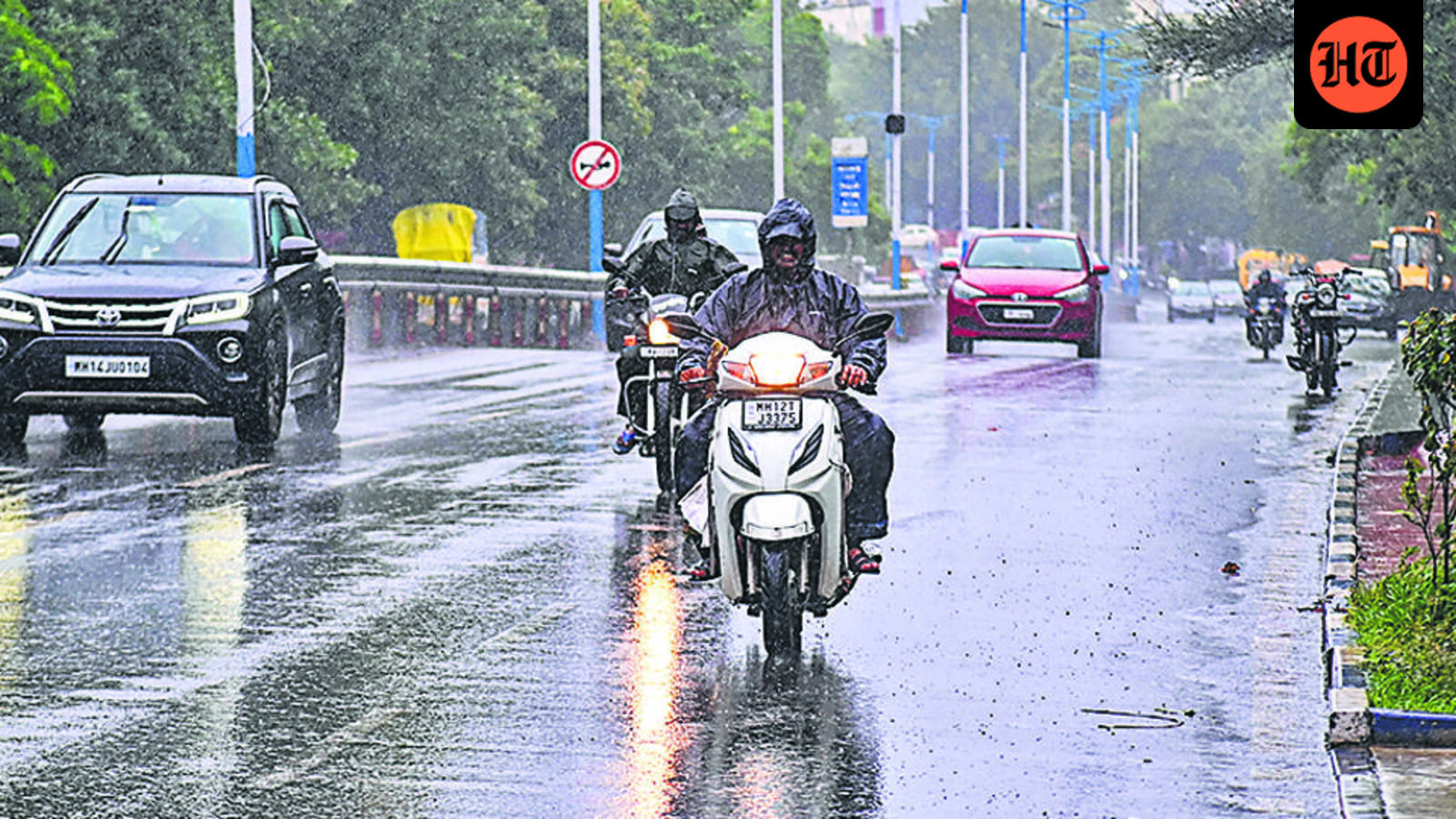 Yellow alert issued for Pune from October 16 to 18
Pune district is forecast to experience light rain or thundershowers, followed by thunderstorms accompanied by lightning, rainfall and gusty winds of 30–40 kmph at isolated places After an extended spell of dry weather…
-
 Durga Puja weather: Rain likely in Kolkata till Saturday, dry days from Saptami
Kolkata is likely to see rain through October 17 during the Durga Puja festivities, with dry weather expected from October 18, according to the India Meteorological Department’s (IMD) Wednesday bulletin. According to…
Sun & moon
Nearby
- Khulna 39 km
- Jessore 29 km
- Tungipara 50 km
- Gopālganj 58 km
- Kālīganj 46 km
- Bhanga 56 km
- Bhātpāra Abhaynagar 17 km
- Jhingergācha 42 km
- Kālia 19 km
- Phultala 49 km
- Kesabpur 39 km
- Jessore Cantonment 33 km
Forecasts, observations and alerts in the United States come from the National Weather Service (NOAA); radar from NOAA's Multi-Radar Multi-Sensor system; satellite imagery from NASA's Global Imagery Browse Services (GIBS) and NOAA's GOES satellites; the map from the U.S. Geological Survey's National Map; air quality from AirNow (EPA and its partners); hurricane information from the National Hurricane Center; climate normals and records from NOAA's Regional Climate Centers (ACIS). Forecasts outside the United States and the UV index: MET Norway (CC BY 4.0); observations outside the U.S.: airport reports via NOAA's Aviation Weather Center. Place names: GeoNames (CC BY 4.0). Data are copied on a schedule and may lag the sources; for warnings that affect your safety, follow your local National Weather Service office and emergency officials. Weather news is drawn from the 4Conservative index and reflects what the press published. Terms of use.