Install
Scottsdale, Tasmania, Australia Weather
Current conditions
Forecast for this hour (no station report in the last two hours)
Forecast
10-day-
Sunday
Heavy rain. High 15°. Precipitation 30.2 mm for the day.
-
Sunday Night
Heavy rain. Low 9°. Precipitation 30.2 mm for the day.
-
Monday
Light showers. High 13°. Precipitation 0.4 mm for the day.
MET Norway forecast updated 1 day ago.
Hourly
Hourly forecast- Now15°1.9
- 08:0015°2.8
- 09:0015°2.0
- 10:0015°1.6
- 11:0015°0.5
- 12:0015°0.9
- 13:0015°1.0
- 14:0014°2.1
- 15:0014°1.2
- 16:0013°0.7
- 17:0013°1.9
- 18:0012°1.6
- 19:0011°1.7
- 20:0011°0.5
- 21:0010°
- 22:0010°
- 23:009°
- Mon00:008°
- 01:007°
- 02:006°
- 03:006°
- 04:005°
- 05:005°
- 06:004°
Daily forecast
DetailsRadar
Full mapWeather news near Scottsdale
More weather news-
 Tornado watch issued for parts of Arizona; severe weather watch in place
PHOENIX (AZFamily) — A majority of Arizona is under a tornado watch as the state braces for another day of severe weather. The National Weather Service Flagstaff says parts of eastern, northern and southern Arizona are…
-
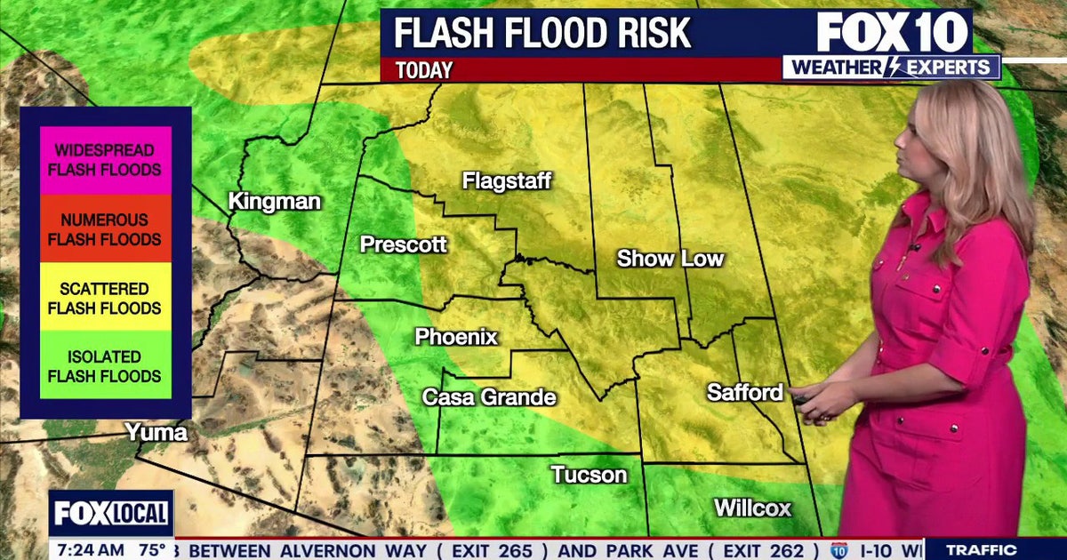 Arizona weather forecast: Thunderstorms, hail, and flood warnings hit the state
Severe thunderstorms push across Arizona, bringing hail, high winds, and flood risks before clearing on Thursday afternoon. PHOENIX - Showers are approaching Tempe as rain starts to fire off across Arizona. Tempe sits…
-
 Rare severe storm threat targets Southern California while Arizona faces potential egg-sized hail, tornadoes
FLAGSTAFF, Ariz. — Severe thunderstorms blasted parts of Arizona early Wednesday ahead of a rare severe weather threat that will intensify through the day and into the evening. Parts of the state, including Flagstaff…
-
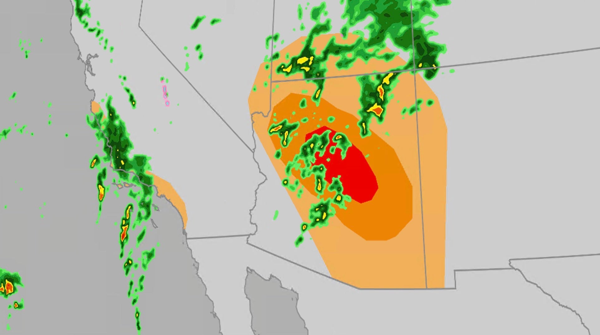 Significant severe, flooding risk for parts of the Southwest
The Weather Channel Large hail, tornadoes, flooding possible on Wednesday for Southwest Parts of the Southwest U.S. will face an elevated risk of severe weather Wednesday, which includes the possibility of large hail…
-
 Heavy rain, strong storms across Phoenix area expected later this week
Wednesday and Thursday are First Alert Weather Days as several rounds of thunderstorms are forecast to move through the Valley. Heavy rain, strong storms across Phoenix area expected later this week Arizona mom accused…
-
 Tracking weather changes on tap for Arizona this week
AZ Family Tracking weather changes on tap for Arizona this week Mountain View outlasts Red Mountain in OT Battle of Brown Road ShinBay brings Arizona's only true omakase to Old Town Scottsdale 1 critically hurt after…
- Phoenix Weather Windy Saturday Rain Chances Cooler Midweek
Before sunrise Saturday, mostly cloudy skies and strong easterly winds were already pushing across the Valley. The city is headed for a high near 81, with a slight chance of rain arriving late in the afternoon. East…
- Phoenix Wind Advisory Brings Dusty Friday Before Weekend Cooling
The advisory runs from 8 a.m. to 3 p.m. Friday, with east winds of 15 to 25 mph and gusts reaching 35 to 45 mph expected, according to the National Weather Service. The Phoenix area should reach about 89 degrees…
-
 Thunderstorms, heavy rain and flash flooding predicted for much of Australia
Parts of Queensland, Victoria and South Australia can expect severe storms on Saturday, moving into NSW and Tasmania by Sunday Severe thunderstorms and heavy rain will sweep across most Australian states this weekend…
- Powerful storms sweep across South Australia
Powerful spring thunderstorms are sweeping across South Australia, bringing widespread rain and dangerous winds. Powerful spring thunderstorms are sweeping across South Australia, bringing widespread rain and dangerous…
Sun & moon
Nearby
- Launceston 45 km
- George Town 58 km
- Legana 46 km
- Longford 60 km
- Perth 54 km
- Hadspen 53 km
Forecasts, observations and alerts in the United States come from the National Weather Service (NOAA); radar from NOAA's Multi-Radar Multi-Sensor system; satellite imagery from NASA's Global Imagery Browse Services (GIBS) and NOAA's GOES satellites; the map from the U.S. Geological Survey's National Map; air quality from AirNow (EPA and its partners); hurricane information from the National Hurricane Center; climate normals and records from NOAA's Regional Climate Centers (ACIS). Forecasts outside the United States and the UV index: MET Norway (CC BY 4.0); observations outside the U.S.: airport reports via NOAA's Aviation Weather Center. Place names: GeoNames (CC BY 4.0). Data are copied on a schedule and may lag the sources; for warnings that affect your safety, follow your local National Weather Service office and emergency officials. Weather news is drawn from the 4Conservative index and reflects what the press published. Terms of use.