Install
Gowrie Junction, Queensland, Australia Weather
Current conditions
Forecast for this hour (no station report in the last two hours)
Forecast
10-day-
Thursday
Heavy rain. High 18°. Precipitation 17.2 mm for the day.
-
Thursday Night
Heavy rain. Low 15°. Precipitation 17.2 mm for the day.
-
Friday
Heavy rain. High 23°. Precipitation 14.9 mm for the day.
MET Norway forecast updated 1 day ago.
Hourly
Hourly forecast- Now18°3.3
- 12:0017°0.7
- 13:0017°1.6
- 14:0017°1.3
- 15:0017°0.8
- 16:0017°0.4
- 17:0016°0.5
- 18:0016°
- 19:0016°
- 20:0016°
- 21:0016°
- 22:0016°
- 23:0016°
- Fri00:0015°
- 01:0015°
- 02:0015°
- 03:0015°1.2
- 04:0015°3.3
- 05:0015°0.9
- 06:0015°0.5
- 07:0016°0.8
- 08:0016°0.2
- 09:0018°0.2
- 10:0020°
Daily forecast
DetailsRadar
Full mapWeather news in Australia
More weather news-
 Heavy rain, flooding to hit eastern Australia while Hobart sweats through rare heatwave
The West Australian is a leading news source in Perth and WA. Breaking local and world news from sport and business to lifestyle and current affairs. Eastern Australia is heading into a soggy stretch of weather, with…
-
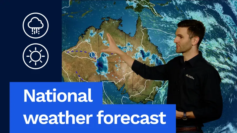 National weather forecast: Storms possible for most of Australia
The Bureau of Meteorology Javascript is disabled. Information may not appear correctly. For the best website experience, activate Javascript. National weather forecast: Storms possible for most of Australia Video…
- Storms Possible Across Much of Australia: Forecast
For Tasmania another warm day on the way. Hobart a shower or two and a top of 24 °C. Launceston 27 °C, showers through the west at first and then shifting mostly to the east coast in the afternoon and evening, with a…
-
 We must prepare entire cities for extreme heat. Our new study reveals how
In Australia, the days are growing longer and summer is fast approaching. But a very strong El Niño – a natural weather phenomenon that drives variations in temperature and winds across the Pacific – could make this…
- Research Urges Cities to Prepare for Extreme Heat
In Australia, the days are growing longer and summer is fast approaching. But a very strong El Niño - a natural weather phenomenon that drives variations in temperature and winds across the Pacific - could make this…
-
 Arizona Goes Under Rare Tornado Watch
Arizona has received a weather alert it almost never sees. Parts of the state, including Flagstaff, spent Wednesday under a tornado watch—the first such alert there since... Arizona Goes Under Rare Tornado Watch Arizona…
-
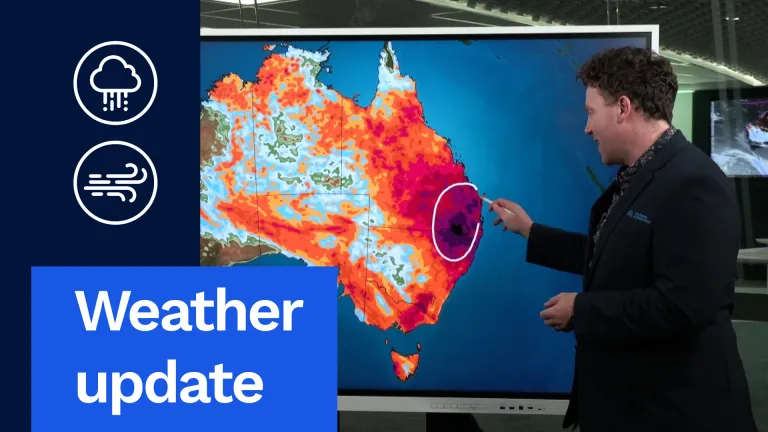 Stormy, Wet Weather to Hit Much of Australia This Week
And I want to start off with this exact map right here. This is our rainfall accumulation map. I've pushed it out through until the end of the weekend. So this is about the next six days' worth of rainfall, really…
- Weather update: Wet, stormy week for large parts of Australia
And I want to start off with this exact map right here. This is our rainfall accumulation map. I’ve pushed it out through until the end of the weekend. So this is about the next six days’ worth of rainfall, really…
-
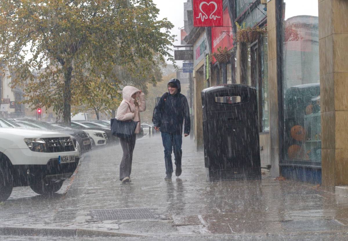 Met Office issues 21-hour weather warning for Glasgow with 80mm of heavy rain, severe flooding and travel chaos as Storm Austen hits
The first storm of the year, Storm Austen, approaches Glasgow, as we have officially been issued a Yellow Weather Warning for rain by the Met Office. Storm Austen is fast approaching this week, bringing bouts of extreme…
-
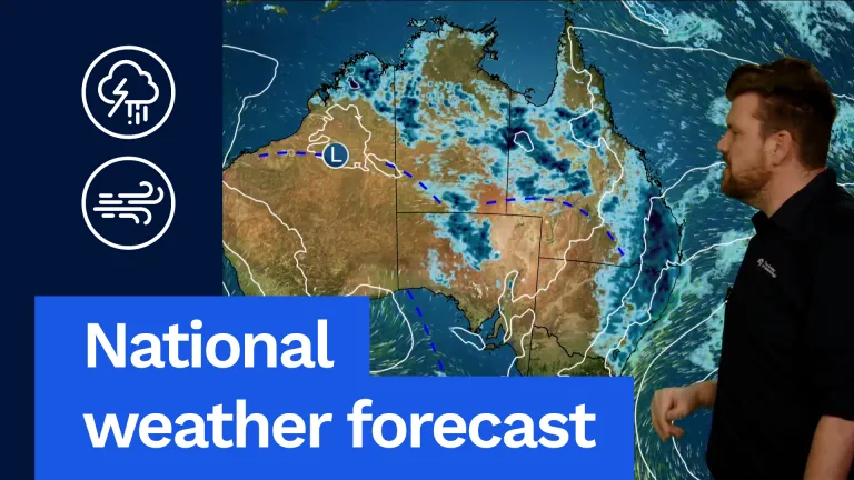 Rain, Storms Forecast Across East and North
We're likely to see widespread rain and thunderstorms and some of them could be severe, particularly through our inland areas of Queensland with large hail, damaging winds and heavy rainfall, and we could have a bit of…
Sun & moon
Nearby
- Toowoomba 11 km
- Gatton 40 km
- Oakey 17 km
- Westbrook 15 km
- Laidley 53 km
- Pittsworth 36 km
- Crows Nest 30 km
Forecasts, observations and alerts in the United States come from the National Weather Service (NOAA); radar from NOAA's Multi-Radar Multi-Sensor system; satellite imagery from NASA's Global Imagery Browse Services (GIBS) and NOAA's GOES satellites; the map from the U.S. Geological Survey's National Map; air quality from AirNow (EPA and its partners); hurricane information from the National Hurricane Center; climate normals and records from NOAA's Regional Climate Centers (ACIS). Forecasts outside the United States and the UV index: MET Norway (CC BY 4.0); observations outside the U.S.: airport reports via NOAA's Aviation Weather Center. Place names: GeoNames (CC BY 4.0). Data are copied on a schedule and may lag the sources; for warnings that affect your safety, follow your local National Weather Service office and emergency officials. Weather news is drawn from the 4Conservative index and reflects what the press published. Terms of use.