Install
Ettalong, New South Wales, Australia Weather
Current conditions
Forecast for this hour (no station report in the last two hours)
Forecast
10-day-
Thursday
Heavy rain. High 20°. Precipitation 17.0 mm for the day.
-
Thursday Night
Heavy rain. Low 15°. Precipitation 17.0 mm for the day.
-
Friday
Showers. High 23°. Precipitation 1.3 mm for the day.
MET Norway forecast updated 1 day ago.
Hourly
Hourly forecast- Now20°0.4
- 14:0020°0.5
- 15:0019°0.2
- 16:0019°
- 17:0020°
- 18:0019°
- 19:0019°
- 20:0018°
- 21:0018°
- 22:0018°
- 23:0018°
- Fri00:0018°
- 01:0018°
- 02:0018°
- 03:0018°
- 04:0018°
- 05:0018°
- 06:0017°
- 07:0018°
- 08:0020°
- 09:0021°
- 10:0022°
- 11:0023°
- 12:0023°
Daily forecast
DetailsRadar
Full mapWeather news near Ettalong
More weather news-
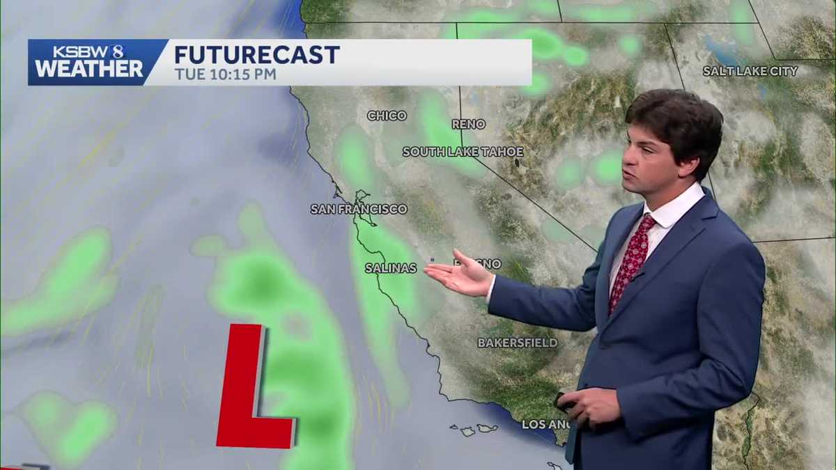 A cooler, wetter pattern takes hold across the Central Coast
A midweek storm brings light rain to the Central Coast and Bay Area, with a slight chance of thunderstorms near the Santa Lucia Range and southern Monterey County ... The cooldown continues Monday as a low-pressure…
-
 Today's weather (October 20th): Fog in the early morning in Northern Vietnam.
VHO - According to the National Center for Meteorological and Hydrological Forecasting, on October 20th, Northern and Central Vietnam will experience sunny weather, with some areas having fog in the early morning…
-
 With the heat finished, Bay Area’s attention turns to rain
Only a handful of days ago, the Bay Area was enduring a last slice of heat, courtesy of the second heat wave in three weeks and one that took temperatures in downtown San Francisco into the mid-70s. Now, rain coats and…
-
 Cool Fall-Like Temperatures Expected This Week
A low-pressure system is expected to reach the coast by Tuesday evening, bringing rain to Southern California • 1 hour ago Southern Californians will finally get a break from heat waves, with cooler, fall-like…
-
 First rain of season coming to Bay Area, flash flood warning on coast
The Bay Bridge and buildings during rainy weather as seen from Treasure Island in San Francisco on Nov. 17, 2025. Days after hot and dry weather led to red flag warnings in the North Bay, the Bay Area is forecast to get…
- Weather forecast for October 20th: Sunny in the North, with localized heavy rain in the South in the late afternoon and evening.
The forecast for October 20th indicates that the Northern region will continue to experience sunny weather, with light fog in some areas in the early morning; the Central Highlands and Southern regions will have…
- Bay Area gets weather whiplash with first rain of the season expected this week
The Bay Bridge and buildings during rainy weather as seen from Treasure Island in San Francisco on Nov. 17, 2025. Days after hot and dry weather led to red flag warnings in the North Bay, the Bay Area is forecast to get…
-
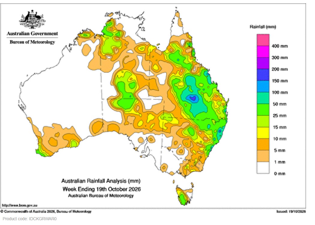 Weekly rainfall update + rainfall outlook 19 October 2026
Thunderstorms brought weekly rainfall totals of 15 mm to more than 50 mm in central Australia including around Alice Springs. On 13 October a cold front moving up the east coast connected with an inland trough…
-
 Adelaide weather forecast for Monday October 19th and the days ahead
Happy Monday! Here’s the weather for October 19th and a look at what’s to come this week. Adelaide is in for an unsettled start to the week, with the chance of showers and even a possible severe thunderstorm on Tuesday…
- Claim: The “Super El Niño” is on Track to be the Wettest Ever
As storms soak the Aussie East Coast, people are starting to ask, whatever happened to that Super El Niño which was supposed to bring dry conditions? This year remains on track to become Australia’s wettest El Niño year…
Sun & moon
Nearby
- Sydney 41 km
- Central Coast 10 km
- Parramatta 46 km
- Hornsby 31 km
- Redfern 44 km
- Zetland 45 km
- Pymble 31 km
- Turramurra 31 km
- Toongabbie West 48 km
- Mona Vale 19 km
- Newport 16 km
- North Gosford 11 km
Forecasts, observations and alerts in the United States come from the National Weather Service (NOAA); radar from NOAA's Multi-Radar Multi-Sensor system; satellite imagery from NASA's Global Imagery Browse Services (GIBS) and NOAA's GOES satellites; the map from the U.S. Geological Survey's National Map; air quality from AirNow (EPA and its partners); hurricane information from the National Hurricane Center; climate normals and records from NOAA's Regional Climate Centers (ACIS). Forecasts outside the United States and the UV index: MET Norway (CC BY 4.0); observations outside the U.S.: airport reports via NOAA's Aviation Weather Center. Place names: GeoNames (CC BY 4.0). Data are copied on a schedule and may lag the sources; for warnings that affect your safety, follow your local National Weather Service office and emergency officials. Weather news is drawn from the 4Conservative index and reflects what the press published. Terms of use.