Install
Bentley, Western Australia, Australia Weather
Current conditions
Forecast for this hour (no station report in the last two hours)
Forecast
10-day-
Thursday
Cloudy. High 19°. Precipitation 0.7 mm for the day.
-
Thursday Night
Rain. Low 13°. Precipitation 0.7 mm for the day.
-
Friday
Rain. High 16°. Precipitation 3.6 mm for the day.
MET Norway forecast updated 23 hrs ago.
Hourly
Hourly forecast- Now17°
- 09:0018°
- 10:0018°
- 11:0019°
- 12:0019°
- 13:0019°
- 14:0018°
- 15:0019°
- 16:0018°
- 17:0018°
- 18:0017°
- 19:0016°
- 20:0015°
- 21:0015°
- 22:0014°
- 23:0013°
- Fri00:0013°
- 01:0012°0.2
- 02:0012°0.2
- 03:0012°0.2
- 04:0012°0.2
- 05:0011°0.2
- 06:0011°0.4
- 07:0012°0.4
Daily forecast
DetailsRadar
Full mapWeather news near Bentley
More weather news-
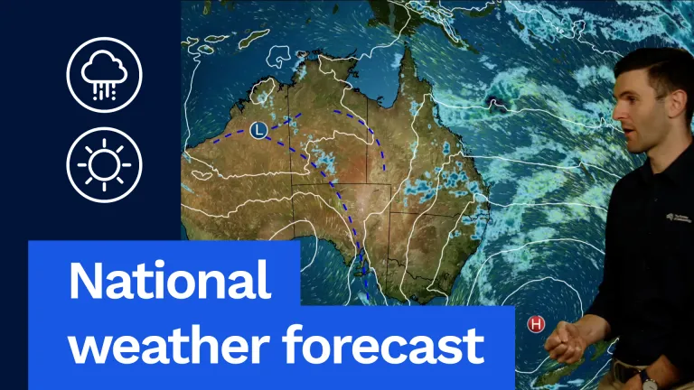 Severe Storms Possible in SA and Western Vic
G'day, David from the bureau here to take a look at the weather around the country for tomorrow, and let's have a look at the national map to start with. Here's this blocking high. It's barely been moving the last few…
-
 ‘Unusual’: Queensland expecting a month’s worth of rain in one week
The West Australian is a leading news source in Perth and WA. Breaking local and world news from sport and business to lifestyle and current affairs. After being drenched by torrential downpour over the weekend…
- Brisbane the coldest capital as week of rain to soak south-east
October 19, 2026 — 11:11am Brisbane was forecast to remain colder than other Australian capital cities on Monday, with a band of rain sitting over the state’s south-east expected to remain until early next week. The…
-
 UK snow forecast as five areas turn white on Met Office weather maps - full list
Snow showers are forecast near Aviemore(Image: PA) Brits are bracing themselves for snowfall this week after the Met Office put several areas on alert for wintry showers. Parts of Scotland will see snow falling in the…
-
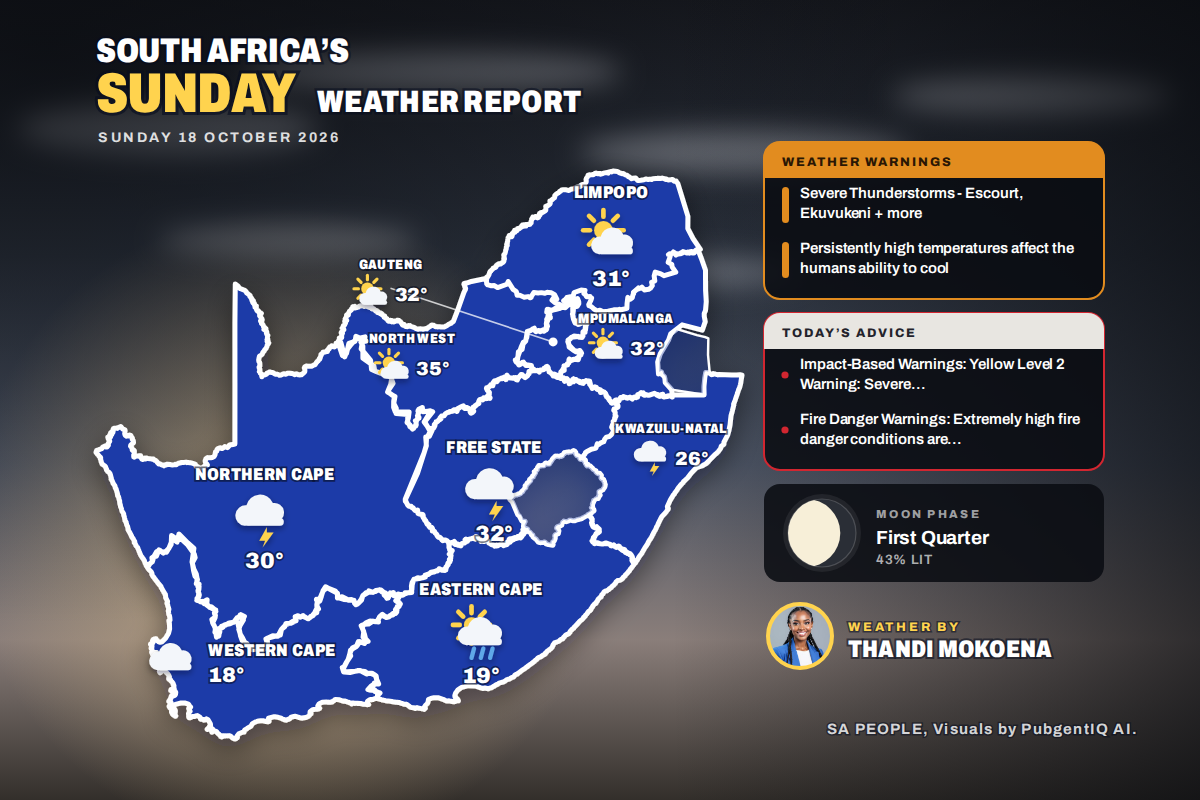 Here is today’s weather by province: Severe thunderstorms threaten Ladysmith Escourt and Dannhauser today
Home » Here is today’s weather by province: Severe thunderstorms threaten Ladysmith Escourt and Dannhauser today Mahikeng is the hottest spot at 35°C, while Cape Town peaks at just 18°C beneath cloud and a fresh SSE…
-
 Perth weather: Rain and sunshine expected across metropolitan area with spring in full swing
Perth is set for a mixed bag of spring weather this week, with both rain and sunshine on the cards across the metropolitan area. Sunday will see a drizzly 4mm of rain in the morning, as temperatures peak at 21C after an…
-
 Kingsway Weather Forecast | Today's Local Weather Forecast
Perth for Saturday. Partly cloudy. Slight chance of a shower in the SW in the evening. Near zero chance of rain elsewhere. Light winds becoming W/NW 15 to 20 km/h in the middle of the day. 16 Oct, 3:46AM UTC 16 Oct…
-
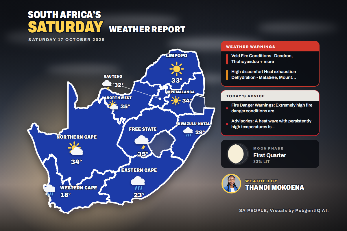 Here is today’s weather by province: Weather advisory issued for Queenstown and surrounding Eastern Cape towns
Home » Here is today’s weather by province: Weather advisory issued for Queenstown and surrounding Eastern Cape towns Kimberley takes the heat crown at 36°C, while Cape Town only reaches 18°C under a fresh SSE breeze…
- El Nino’s are meant to be dry. So what’s with all this rain?
October 17, 2026 - 2.08am Sydneysiders couldn’t leave the house without an umbrella this week with parts of the city copping more than 110mm of rain. Parts of Melbourne have also seen up to 300mm of rain this month. SES…
-
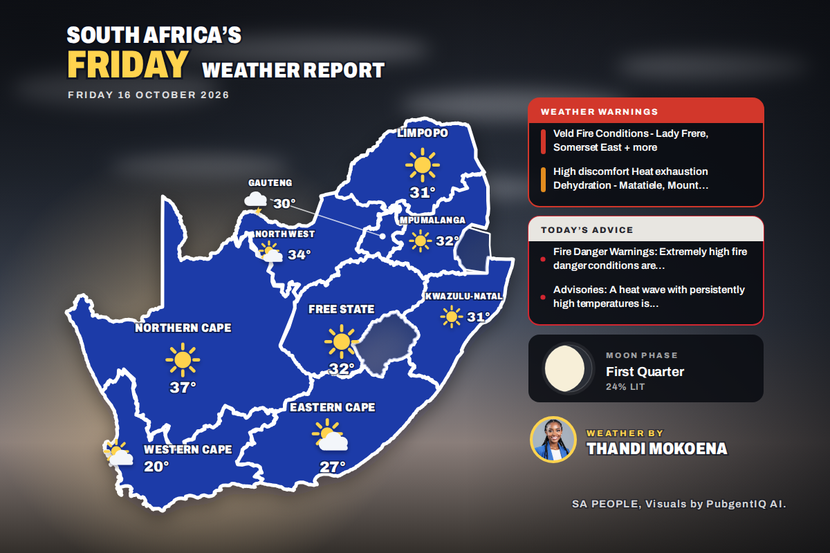 Here is today’s weather by province: Matatiele and Mount Ayliff placed under weather advisory today
Home » Here is today’s weather by province: Matatiele and Mount Ayliff placed under weather advisory today Kimberley tops the charts at 35°C, while Johannesburg is the one to watch for rain, with thunderstorms expected…
Sun & moon
Nearby
- Perth 8 km
- Kwinana 29 km
- Rockingham 36 km
- Clarkson 40 km
- Maylands 8 km
- Joondalup 32 km
- Mosman Park 15 km
- Quinns Rocks 42 km
- Claremont 14 km
- Mindarie 40 km
- East Fremantle 15 km
- Kalamunda 13 km
Forecasts, observations and alerts in the United States come from the National Weather Service (NOAA); radar from NOAA's Multi-Radar Multi-Sensor system; satellite imagery from NASA's Global Imagery Browse Services (GIBS) and NOAA's GOES satellites; the map from the U.S. Geological Survey's National Map; air quality from AirNow (EPA and its partners); hurricane information from the National Hurricane Center; climate normals and records from NOAA's Regional Climate Centers (ACIS). Forecasts outside the United States and the UV index: MET Norway (CC BY 4.0); observations outside the U.S.: airport reports via NOAA's Aviation Weather Center. Place names: GeoNames (CC BY 4.0). Data are copied on a schedule and may lag the sources; for warnings that affect your safety, follow your local National Weather Service office and emergency officials. Weather news is drawn from the 4Conservative index and reflects what the press published. Terms of use.