Install
Beaudesert, Queensland, Australia Weather
Current conditions
Forecast for this hour (no station report in the last two hours)
Forecast
10-day-
Wednesday
Heavy rain. High 23°. Precipitation 16.0 mm for the day.
-
Wednesday Night
Heavy rain. Low 15°. Precipitation 16.0 mm for the day.
-
Thursday
Heavy rain. High 20°. Precipitation 22.6 mm for the day.
MET Norway forecast updated 9 hrs ago.
Hourly
Hourly forecast- Now19°
- 09:0021°
- 10:0022°0.3
- 11:0023°1.3
- 12:0021°2.1
- 13:0022°1.9
- 14:0020°0.9
- 15:0021°0.5
- 16:0020°0.6
- 17:0020°0.3
- 18:0019°0.3
- 19:0018°
- 20:0018°0.8
- 21:0018°5.0
- 22:0017°1.8
- 23:0017°
- Thu00:0017°
- 01:0017°2.5
- 02:0017°3.0
- 03:0017°1.2
- 04:0017°1.9
- 05:0017°1.1
- 06:0018°0.7
- 07:0019°0.8
Daily forecast
DetailsRadar
Full mapWeather news near Beaudesert
More weather news-
 ‘Unusual’: Queensland expecting a month’s worth of rain in one week
The West Australian is a leading news source in Perth and WA. Breaking local and world news from sport and business to lifestyle and current affairs. After being drenched by torrential downpour over the weekend…
- Brisbane the coldest capital as week of rain to soak south-east
October 19, 2026 — 11:11am Brisbane was forecast to remain colder than other Australian capital cities on Monday, with a band of rain sitting over the state’s south-east expected to remain until early next week. The…
- Strong winds and storms in central Queensland set to roll into weekend
A lightning storm passed over properties in the Charleville region into Thursday evening. (Supplied: Nick Sheehan) Storms that have lashed parts of central Queensland could continue through the weekend and reach parts…
-
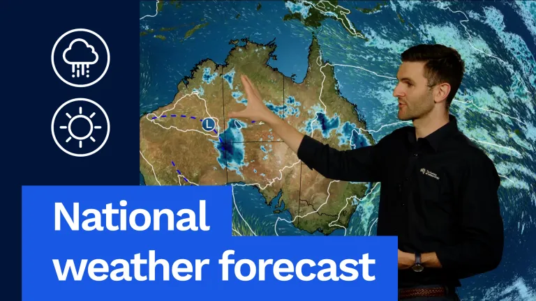 National weather forecast: Storms possible for most of Australia
The Bureau of Meteorology Javascript is disabled. Information may not appear correctly. For the best website experience, activate Javascript. National weather forecast: Storms possible for most of Australia Video…
- Storms Possible Across Much of Australia: Forecast
For Tasmania another warm day on the way. Hobart a shower or two and a top of 24 °C. Launceston 27 °C, showers through the west at first and then shifting mostly to the east coast in the afternoon and evening, with a…
-
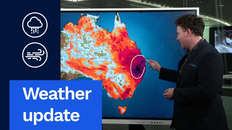 Stormy, Wet Weather to Hit Much of Australia This Week
And I want to start off with this exact map right here. This is our rainfall accumulation map. I've pushed it out through until the end of the weekend. So this is about the next six days' worth of rainfall, really…
- Weather update: Wet, stormy week for large parts of Australia
And I want to start off with this exact map right here. This is our rainfall accumulation map. I’ve pushed it out through until the end of the weekend. So this is about the next six days’ worth of rainfall, really…
-
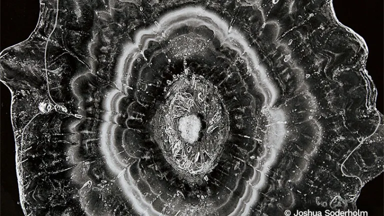 Curious Clouds Star 2027 Australian Weather Calendar
Dramatic thunderstorms, amazing auroras and dust storms are some of the diverse weather events featured in the 2027 Australian Weather Calendar. Bureau of Meteorology National Community Information Manager Andrea Peace…
-
 Severe thunderstorm warning expands across SA as large hail and damaging winds threaten
The Bureau of Meteorology has issued a severe thunderstorm warning for four South Australian regions, with damaging winds, large hail and flash flooding possible. The Bureau of Meteorology has issued an updated severe…
-
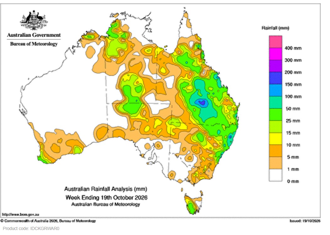 Weekly rainfall update + rainfall outlook 19 October 2026
Thunderstorms brought weekly rainfall totals of 15 mm to more than 50 mm in central Australia including around Alice Springs. On 13 October a cold front moving up the east coast connected with an inland trough…
Sun & moon
Nearby
- Brisbane 58 km
- Gold Coast 43 km
- Logan City 40 km
- Capalaba 53 km
- Coomera 37 km
- Woodridge 41 km
- Figtree 53 km
- Tweed Heads 58 km
- Kelvin Grove 60 km
- Tamborine Mountain 20 km
- Currumbin 50 km
- Ipswich 47 km
Forecasts, observations and alerts in the United States come from the National Weather Service (NOAA); radar from NOAA's Multi-Radar Multi-Sensor system; satellite imagery from NASA's Global Imagery Browse Services (GIBS) and NOAA's GOES satellites; the map from the U.S. Geological Survey's National Map; air quality from AirNow (EPA and its partners); hurricane information from the National Hurricane Center; climate normals and records from NOAA's Regional Climate Centers (ACIS). Forecasts outside the United States and the UV index: MET Norway (CC BY 4.0); observations outside the U.S.: airport reports via NOAA's Aviation Weather Center. Place names: GeoNames (CC BY 4.0). Data are copied on a schedule and may lag the sources; for warnings that affect your safety, follow your local National Weather Service office and emergency officials. Weather news is drawn from the 4Conservative index and reflects what the press published. Terms of use.