Install
Aberdeen, New South Wales, Australia Weather
Current conditions
Forecast for this hour (no station report in the last two hours)
Forecast
10-day-
Thursday
Heavy rain. High 23°. Precipitation 6.1 mm for the day.
-
Thursday Night
Rain. Low 16°. Precipitation 6.1 mm for the day.
-
Friday
Heavy showers. High 24°. Precipitation 2.8 mm for the day.
MET Norway forecast updated 11 hrs ago.
Hourly
Hourly forecast- Now20°
- 18:0020°
- 19:0019°
- 20:0018°
- 21:0017°0.3
- 22:0017°0.2
- 23:0016°
- Fri00:0016°
- 01:0016°
- 02:0016°
- 03:0016°
- 04:0016°
- 05:0015°
- 06:0015°
- 07:0016°
- 08:0016°
- 09:0017°
- 10:0019°
- 11:0020°
- 12:0022°
- 13:0024°0.2
- 14:0024°0.6
- 15:0024°0.2
- 16:0024°0.2
Daily forecast
DetailsRadar
Full mapWeather news near Aberdeen
More weather news-
 UK snow forecast as maps show areas set to be covered on Sunday
Parts of the UK could be covered in snow as a period of wintry weather sets in, including high winds and a drop in temperature. A large area of central Scotland is forecast to turn white over the weekend, with…
-
 UK snow forecast as five areas turn white on Met Office weather maps - full list
Snow showers are forecast near Aviemore(Image: PA) Brits are bracing themselves for snowfall this week after the Met Office put several areas on alert for wintry showers. Parts of Scotland will see snow falling in the…
-
 Scottish Results
Clouds breaking for sun, blustery, and unseasonably chilly; highs only in the low 50s, with north winds gusting near 30mph.. Mostly clear with diminishing wind; a widespread frost is likely for most, with a freeze…
- South Dakota Winter Weather: Sioux Falls Snow Near Nov. 6?
Sioux Falls, SD – South Dakota residents wondering when the first measurable snowfall of the 2026 winter season might arrive have an early November date to watch. Sioux Falls typically records its first accumulating…
-
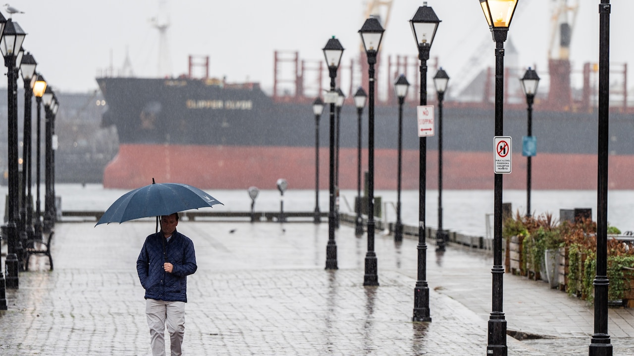 Maryland could hit 85 degrees amid threats of damaging winds, possible tornado and cold front
Temperatures in Maryland could climb all the way to 85 degrees on Friday, bringing with it the possibility of severe storms before a cold front rolls in for the weekend. The front could also bring intense wind gusts…
-
 NOAA Releases Winter Weather Outlook
Go Watertown Radio ABERDEEN, S.D. (KWAT)–NOAA, the National Oceanic and Atmospheric Administration, released its 90-day winter outlook today covering the months of December through February. They’re predicting…
-
 PUC names October 28th as “winter weather preparedness day”
Some of the Folks from Northern State join us to give us a department update and more… The National Weather Service has named October 28 as Winter Weather Preparedness Day in South Dakota. Public Utilities Commissioners…
-
 Dangerous Freeze Warnings Issued for North and South Dakota as Temperatures Plummet
Freeze Warnings take effect overnight across North Dakota and northern South Dakota, with lows as low as 28 degrees in Bismarck, Minot and Williston, likely ending the growing season for many areas. The warnings run…
-
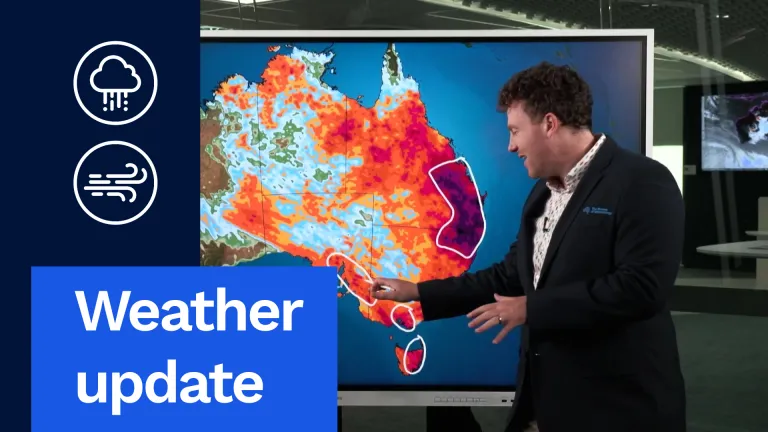 Weather update: Days of rain and storms across Australia
The Bureau of Meteorology Javascript is disabled. Information may not appear correctly. For the best website experience, activate Javascript. Weather update: Days of rain and storms across Australia Video current: 12:00…
-
 Heavy rain, flooding to hit eastern Australia while Hobart sweats through rare heatwave
The West Australian is a leading news source in Perth and WA. Breaking local and world news from sport and business to lifestyle and current affairs. Eastern Australia is heading into a soggy stretch of weather, with…
Sun & moon
Nearby
- Muswellbrook 11 km
- Scone 13 km
- Singleton 52 km
- Singleton Heights 49 km
Forecasts, observations and alerts in the United States come from the National Weather Service (NOAA); radar from NOAA's Multi-Radar Multi-Sensor system; satellite imagery from NASA's Global Imagery Browse Services (GIBS) and NOAA's GOES satellites; the map from the U.S. Geological Survey's National Map; air quality from AirNow (EPA and its partners); hurricane information from the National Hurricane Center; climate normals and records from NOAA's Regional Climate Centers (ACIS). Forecasts outside the United States and the UV index: MET Norway (CC BY 4.0); observations outside the U.S.: airport reports via NOAA's Aviation Weather Center. Place names: GeoNames (CC BY 4.0). Data are copied on a schedule and may lag the sources; for warnings that affect your safety, follow your local National Weather Service office and emergency officials. Weather news is drawn from the 4Conservative index and reflects what the press published. Terms of use.