Install
Tulln, Lower Austria, Austria Weather
Current conditions
Forecast for this hour (no station report in the last two hours)
Forecast
10-day-
Wednesday
Light rain. High 18°. Precipitation 3.8 mm for the day.
-
Wednesday Night
Heavy rain. Low 11°. Precipitation 3.8 mm for the day.
-
Thursday
Rain. High 14°. Precipitation 4.1 mm for the day.
MET Norway forecast updated 7 hrs ago.
Hourly
Hourly forecast- Now12°0.6
- 23:0011°0.9
- Thu00:0011°0.3
- 01:0010°0.2
- 02:0010°0.4
- 03:009°0.7
- 04:009°0.8
- 05:009°0.8
- 06:009°0.7
- 07:009°
- 08:009°
- 09:009°
- 10:0010°
- 11:0011°
- 12:0012°
- 13:0012°
- 14:0013°
- 15:0014°
- 16:0013°
- 17:0013°
- 18:0010°
- 19:009°
- 20:009°
- 21:008°
10-day forecast
DetailsRadar
Full mapWeather news near Tulln
More weather news-
 Chance of drizzle on hot Tuesday, light fog possible at night
Kuwait Times Chance of drizzle on hot Tuesday, light fog possible at night KUWAIT: The weather will be hot and relatively humid over coastal areas on Tuesday, with partly cloudy skies and a chance of drizzle at times…
-
 Quiet week ahead for the Mid-Ohio Valley
It is going to be a very quiet week across the Mid-Ohio Valley. With an area of high pressure stretch across the region, it is going to keep the sunshine around. This area of high pressure is expected ... PARKERSBURG…
-
 Weather outlook for Northern Ireland as clocks set to go back and Halloween break looming
And with the clocks going back one hour on Sunday, and an extra hour in bed if you're lucky, we can expect temperatures to stay at a tolerable 12C with lows of 4C thanks to little cloud cover on Monday and early…
-
 Temperatures plunge below freezing in many areas tonight; Freeze Warning in effect
Temperatures will plunge below freezing in many areas tonight, leading to a Freeze Warning for the entire area. Many locations will wake up with temperatures in the 20s to start the day. Sunshine will get us back up…
-
 Near-freezing morning temperatures prompt Frost Advisory for parts of the state
Fall-like weather finally arrives with near-freezing morning temperatures. Fall-like weather finally arrives with near-freezing morning temperatures. The National Weather Service has issued a Frost Advisory from 1:00…
-
 Daylight saving time: When does the time change in Texas in 2026?
Get ready to make that annual routine change. Texans have weeks before daylight saving time ends. A change in federal law could alter this twice-yearly routine. A proposal moving through Congress would make daylight…
-
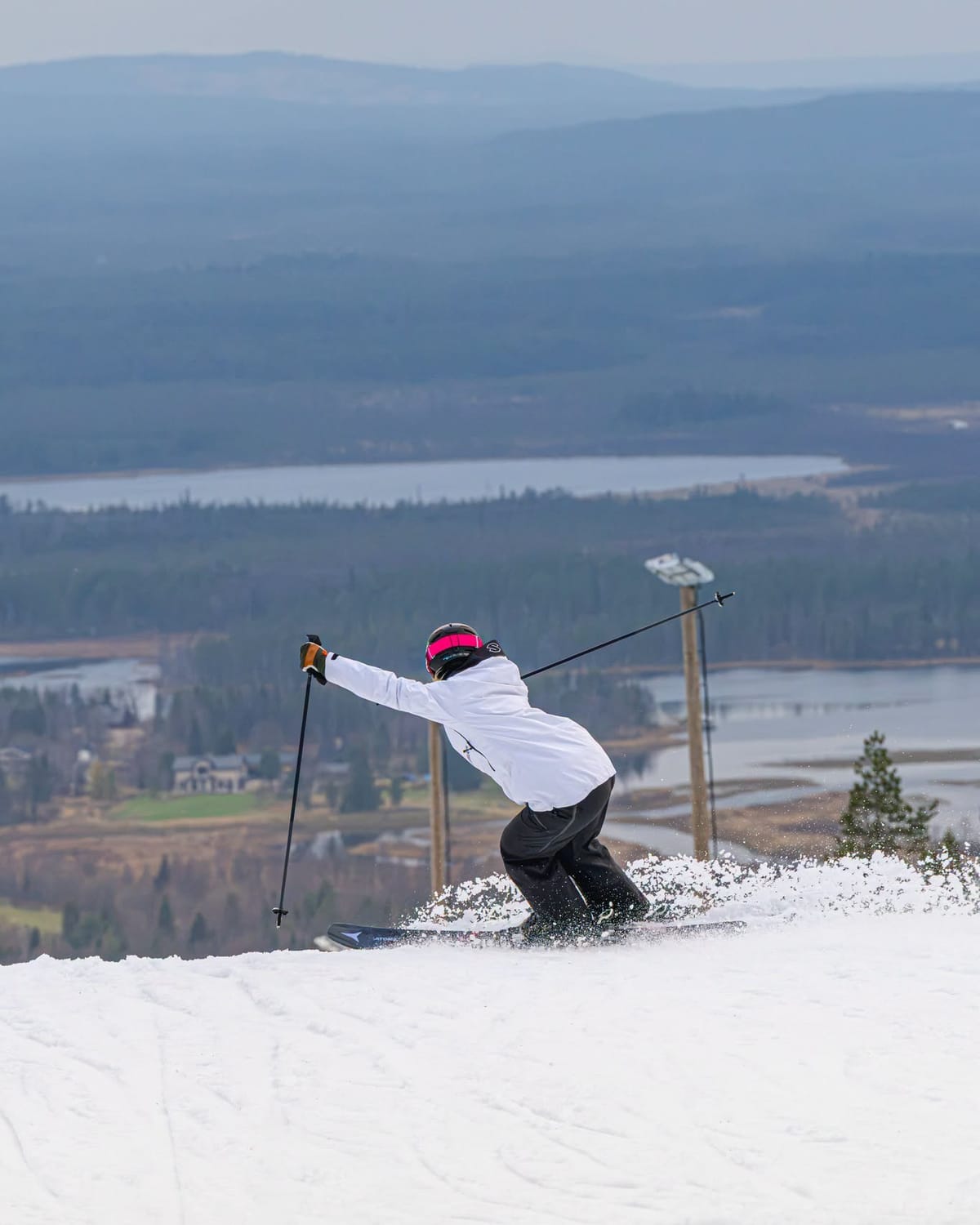 Global Weekly Snow Roundup #336
Snow-Forecast Weekly Global Snow News, updated 15 October 2026: Northern hemisphere overtakes southern for areas open; Three more Austrian glaciers open for 26-27; Argentina's season over. Despite ever more signs of…
Sun & moon
Nearby
- Vienna 27 km
- Wiener Neustadt 60 km
- Znojmo 59 km
- Baden 38 km
- Sankt Pölten 34 km
- Mödling 32 km
- Stockerau 13 km
- Klosterneuburg 20 km
- Perchtoldsdorf 28 km
- Krems an der Donau 34 km
- Korneuburg 20 km
- Schwechat 37 km
Forecasts, observations and alerts in the United States come from the National Weather Service (NOAA); radar from NOAA's Multi-Radar Multi-Sensor system; satellite imagery from NASA's Global Imagery Browse Services (GIBS) and NOAA's GOES satellites; the map from the U.S. Geological Survey's National Map; air quality from AirNow (EPA and its partners); hurricane information from the National Hurricane Center; climate normals and records from NOAA's Regional Climate Centers (ACIS). Forecasts outside the United States and the UV index: MET Norway (CC BY 4.0); observations outside the U.S.: airport reports via NOAA's Aviation Weather Center. Place names: GeoNames (CC BY 4.0). Data are copied on a schedule and may lag the sources; for warnings that affect your safety, follow your local National Weather Service office and emergency officials. Weather news is drawn from the 4Conservative index and reflects what the press published. Terms of use.