Install
Pérez, Santa Fe, Argentina Weather
Current conditions
Observed at Rosario Intl · 1 hr ago
Forecast
10-day-
Wednesday
Cloudy. High 23°.
-
Wednesday Night
Partly cloudy. Low 17°.
-
Thursday
Heavy rain. High 23°. Precipitation 16.1 mm for the day.
MET Norway forecast updated 2 hrs ago.
Hourly
Hourly forecast- Now22°
- 17:0021°
- 18:0021°
- 19:0020°
- 20:0019°
- 21:0018°
- 22:0018°
- 23:0017°
- Thu00:0017°
- 01:0017°
- 02:0016°
- 03:0016°
- 04:0016°
- 05:0016°
- 06:0016°
- 07:0016°
- 08:0017°
- 09:0019°
- 10:0020°
- 11:0021°
- 12:0022°
- 13:0023°0.4
- 14:0023°1.0
- 15:0023°2.2
10-day forecast
DetailsRadar
Full mapWeather news near Pérez
More weather news-
 Canton weather forecast calls for warm days and cool nights
Fall will earn its reputation for warm days and cool nights this week in Northeast Ohio. Daytime highs are expected to be in the 60s in the Canton-Stark County area, and nighttime lows in the 30s and 40s. Winds are…
-
 San Diego weather: Francella Perez's evening weather forecast for October 17, 2026
NBC 7 San Diego San Diego weather: Francella Perez's evening weather forecast for October 17, 2026
-
 Weather alert: Rain, lightning, hail, and storms in Moldova
Meteorologists issued a Yellow Code for Atmospheric Instability for Wednesday, August 6. The warning is in effect for the northern and central regions of the Republic of Moldova. Heavy rainfall, lightning, hail, and…
-
 Moldova Braces for Cold Snap & Heavy Rain
Moldovan temperatures will reach a maximum of 11 degrees Celsius (51.8 degrees Fahrenheit) on Thursday, April 18, according to meteorologists. Nighttime lows will dip down to 4 degrees Celsius (39.2 degrees Fahrenheit)…
-
 Moldova issues nationwide yellow alert for heavy rainfall
Moldova’s weather authorities issued a nationwide yellow warning on Sunday, forecasting heavy rainfall across the country with accumulations reaching up to 49 liters per square meter. Twenty-four hour weather warning…
-
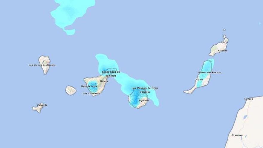 Will it rain this Sunday in Tenerife? Aemet forecasts persistent afternoon rainfall.
Tenerife is set to experience a cloudy day on Sunday, with occasional light rain expected. According to the State Meteorological Agency (Aemet), the weather may shift in the afternoon, particularly in the northern…
-
 Friday 6 p.m. weather update
CTV News Friday 6 p.m. weather update CTV’s Jackie Perez looks at Ottawa’s weather forecast for Friday, Oct. 16, 2026.
-
 Cape Town braces for rain as thousands head to weekend events
Home » News » Weather » Cape Town braces for rain as thousands head to weekend events Cape Town expects 100 000 people at weekend events, while a 60% chance of rain could affect outdoor plans and travel. Cape Town is…
-
 Springfield temperatures were hotter in September than July
Skip the blur: Unlock a full year of access for just $40, or join our monthly plan for $4! September 2026 was Missouri’s warmest September on record, along with being generally dry, according to the University of…
-
 Wednesday 6 p.m. weather update
CTV News Wednesday 6 p.m. weather update CTV’s Jackie Perez looks at Ottawa’s weather forecast for Wednesday, Oct. 14, 2026.
Sun & moon
Nearby
- Rosario 13 km
- Gobernador Gálvez 12 km
- Villa Constitución 48 km
- Granadero Baigorria 16 km
- Casilda 37 km
- Capitán Bermúdez 20 km
- Arroyo Seco 29 km
- Carcarañá 39 km
- Funes 10 km
- Fray Luis A. Beltrán 23 km
- Roldán 17 km
- Totoras 59 km
Forecasts, observations and alerts in the United States come from the National Weather Service (NOAA); radar from NOAA's Multi-Radar Multi-Sensor system; satellite imagery from NASA's Global Imagery Browse Services (GIBS) and NOAA's GOES satellites; the map from the U.S. Geological Survey's National Map; air quality from AirNow (EPA and its partners); hurricane information from the National Hurricane Center; climate normals and records from NOAA's Regional Climate Centers (ACIS). Forecasts outside the United States and the UV index: MET Norway (CC BY 4.0); observations outside the U.S.: airport reports via NOAA's Aviation Weather Center. Place names: GeoNames (CC BY 4.0). Data are copied on a schedule and may lag the sources; for warnings that affect your safety, follow your local National Weather Service office and emergency officials. Weather news is drawn from the 4Conservative index and reflects what the press published. Terms of use.