Install
Yeghvard, Kotayk, Armenia Weather
Current conditions
Observed at Yerevan/Zvartnots Intl · 21 min ago
Forecast
10-day-
Wednesday
Light showers. High 19°. Precipitation 3.1 mm for the day.
-
Wednesday Night
Heavy rain. Low 10°. Precipitation 3.1 mm for the day.
-
Thursday
Heavy rain. High 13°. Precipitation 10.8 mm for the day.
MET Norway forecast updated 14 hrs ago.
Hourly
Hourly forecast- Now10°
- 08:0011°
- 09:0013°
- 10:0016°
- 11:0017°
- 12:0018°
- 13:0018°
- 14:0019°
- 15:0019°
- 16:0019°
- 17:0019°
- 18:0016°
- 19:0014°
- 20:0014°
- 21:0013°
- 22:0013°0.9
- 23:0012°1.0
- Thu00:0012°0.6
- 01:0012°0.8
- 02:0012°0.4
- 03:0012°
- 04:0011°
- 05:0011°
- 06:0011°0.5
Daily forecast
DetailsRadar
Full mapWeather news in Armenia
More weather news-
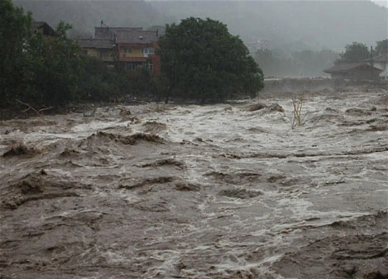 Heavy rains expected in several regions of Azerbaijan, floods forecast on rivers
1News.az Heavy rains expected in several regions of Azerbaijan, floods forecast on rivers Unstable weather is expected in the regions of Azerbaijan on Tuesday. As 1news.az reports, this was announced by the National…
-
 Temperatures plunge below freezing in many areas tonight; Freeze Warning in effect
Temperatures will plunge below freezing in many areas tonight, leading to a Freeze Warning for the entire area. Many locations will wake up with temperatures in the 20s to start the day. Sunshine will get us back up…
-
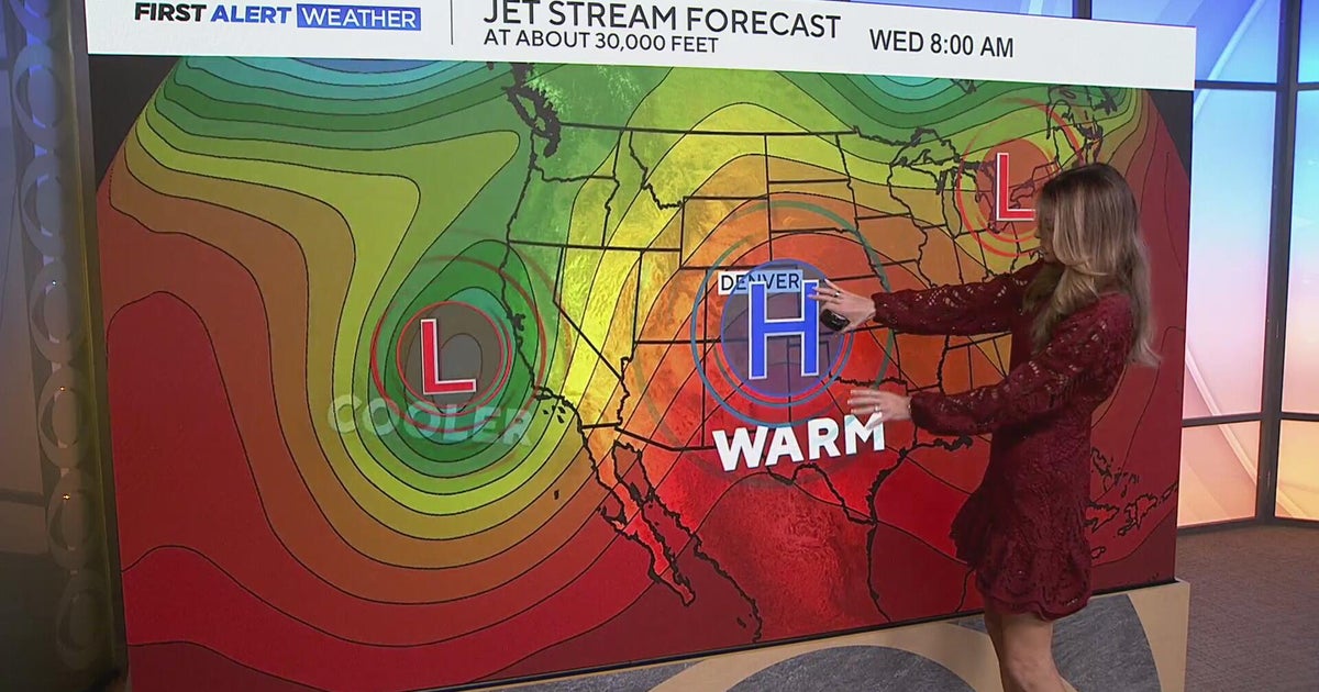 Staying warm and mild for the Denver metro with more mountain rain expected
CBS News Staying warm and mild for the Denver metro with more mountain rain expected Heavy rain, flash flooding expected in southwestern Colorado Colorado Department of Transportation trucks unveiled to protect…
-
 Sunny stretch of weather continues with fall-like temperatures
CBS News - The 5:33 | Legacy of the LIRR Massacre - On The Dot with David Schechter: Wildfires & Climate Change Sunny stretch of weather continues with fall-like temperatures Union workers locked out of largest East…
-
 Foreign leaders endorse Miami Republican, sparking interference claims
There’s a relatively rare severe-weather risk on Wednesday in parts of Arizona and Southern California. The National Weather Service Storm Prediction Center has outlined a marginal (Level 1 out of 5) risk in an area…
-
 Trump confirms U.S. seeking return of retired teacher held in Russia
There’s a relatively rare severe-weather risk on Wednesday in parts of Arizona and Southern California. The National Weather Service Storm Prediction Center has outlined a marginal (Level 1 out of 5) risk in an area…
-
 Will Thanksgiving bring snow, rain or sunshine? Farmers’ Almanac reveals its 2026 outlook
Winter is near, and super El Niño is forecast to make it quite a winter to remember. FOX Weather Meteorologists Stephen Morgan, Bayne Froney, Britta Merwin and Craig Herrera break down the forecast and talk about past…
-
 Thanksgiving travel delays: Where weather risk is highest this year
Travelers wait in line at a security checkpoint in Terminal 3 at O'Hare International airport on November 30, 2025 in Chicago, Illinois. (Jim Vondruska via Getty Images) Millions will travel for Thanksgiving this year —…
-
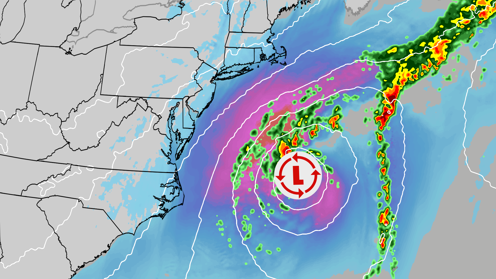 Nor'easter maps tracker: radar, current conditions and forecasts
Nor'easter tracker: Radar, forecasts, current info and more The Weather Channel Nor'easter maps tracker: radar, current conditions and forecasts An October nor'easter brings impacts to the Northeast that will linger the…
-
 Waterspouts possible off Southern California amid stormy weather
Southern California's stormy forecast includes a chance of isolated waterspouts offshore. They may look like tornadoes, but they're not. Our latest explainer breaks down what waterspouts are, how they form over the…
Sun & moon
Nearby
Forecasts, observations and alerts in the United States come from the National Weather Service (NOAA); radar from NOAA's Multi-Radar Multi-Sensor system; satellite imagery from NASA's Global Imagery Browse Services (GIBS) and NOAA's GOES satellites; the map from the U.S. Geological Survey's National Map; air quality from AirNow (EPA and its partners); hurricane information from the National Hurricane Center; climate normals and records from NOAA's Regional Climate Centers (ACIS). Forecasts outside the United States and the UV index: MET Norway (CC BY 4.0); observations outside the U.S.: airport reports via NOAA's Aviation Weather Center. Place names: GeoNames (CC BY 4.0). Data are copied on a schedule and may lag the sources; for warnings that affect your safety, follow your local National Weather Service office and emergency officials. Weather news is drawn from the 4Conservative index and reflects what the press published. Terms of use.