Install
The Valley, Anguilla Weather
Current conditions
Forecast for this hour (no station report in the last two hours)
Forecast
10-day-
Saturday
Light showers. High 30°. Precipitation 2.1 mm for the day.
-
Saturday Night
Light showers. Low 29°. Precipitation 2.1 mm for the day.
-
Sunday
Light showers. High 30°. Precipitation 2.1 mm for the day.
MET Norway forecast updated 1 day ago.
Hourly
Hourly forecast- Now29°
- 04:0029°0.2
- 05:0029°0.2
- 06:0029°0.2
- 07:0029°
- 08:0029°
- 09:0029°
- 10:0029°
- 11:0029°
- 12:0029°
- 13:0029°0.3
- 14:0030°0.2
- 15:0029°
- 16:0030°
- 17:0030°
- 18:0030°
- 19:0029°
- 20:0029°
- 21:0030°
- 22:0029°
- 23:0029°
- Sun00:0029°0.6
- 01:0029°0.7
- 02:0028°
Daily forecast
DetailsRadar
Full mapWeather news near The Valley
More weather news- Tuesday, May 19, 2026: Storms moving in from Mexico could reach the Valley overnight
The Storm Prediction Center has placed the Rio Grande Valley under a level 1 out of 5 risk for severe thunderstorms overnight, according to the First Warn 5 Weather Team. Isolated strong or severe thunderstorms could…
-
 The Valley Today 6am Weather - 10/21
Valley News Live The Valley Today 6am Weather - 10/21 The Valley Today 6 a.m. Weather - October 21 The Valley Today 6 a.m. Weather - 10/20
-
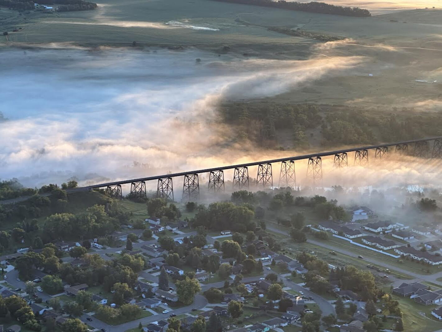 Weather Wednesday: Valley Fog
FARGO, ND — The James River Valley and the Sheyenne River Valley might not be as grandiose as the valleys in the mountains or along the Mississippi, but they do have one thing in common: valley fog. Valley fog is a type…
-
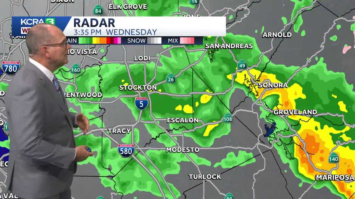 KCRA 3 Weather Impact Day extended through Thursday with more thunderstorms possible
Rain won't fall in as many places Thursday, but a few isolated cells could produce lightning, heavy rain and small hail Light to moderate rain is moving across Northern California Wednesday afternoon. the most…
-
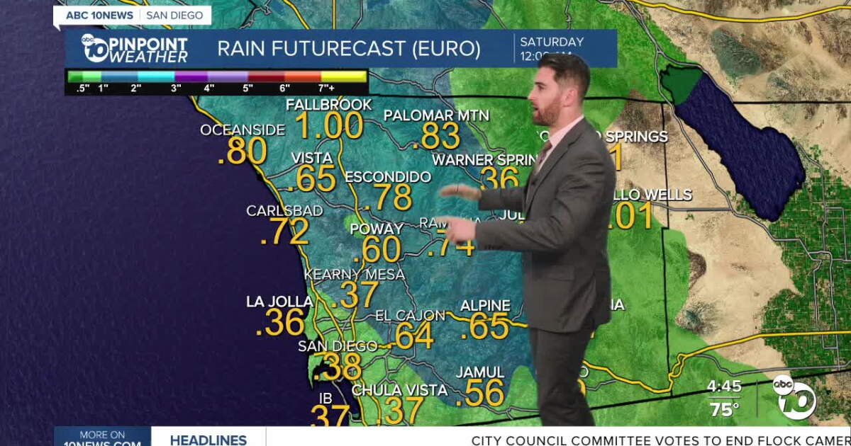 ABC 10News Pinpoint Forecast for Wednesday, October 21: Showers and scattered thunderstorms
Rain will be isolated to scattered overnight Wednesday through the day on Thursday with periods of heavy rain and a slight chance of thunderstorms. That heavier rain will first hit the coast around 10 p.m. tonight and…
-
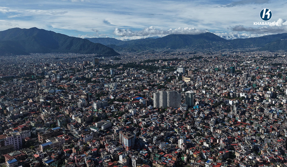 Kathmandu Valley’s minimum temperature drops to 13.5°C
KATHMANDU: Kathmandu Valley’s initial minimum temperature fell to 13.5 degrees Celsius on Thursday morning, down from 14.2 degrees Celsius recorded at the same time a day earlier, according to the Weather Forecasting…
-
 Warmest day of the week Thursday before next weather maker arrives Friday
Warmest day of the week tomorrow before next weather maker arrives Friday Valley News Live Our next weather maker approaches Thursday, heating up the valley before rain, wind, and a colder air mass take over through the…
-
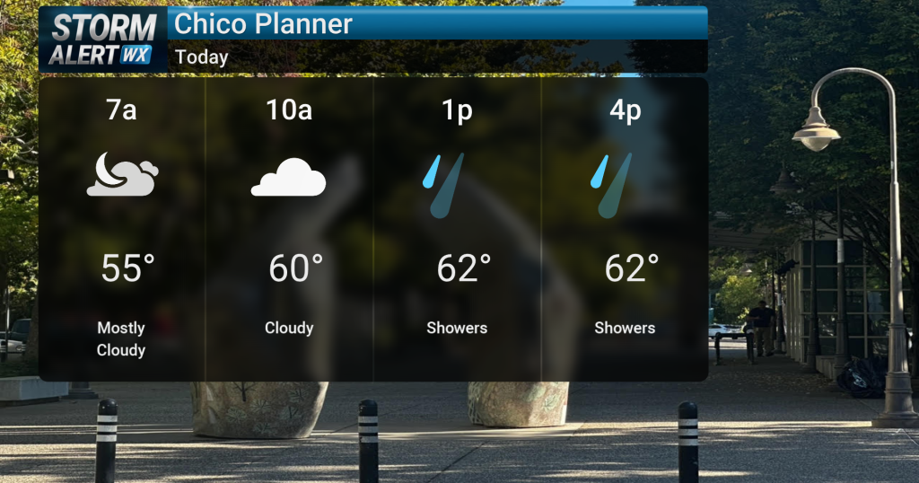 Showery conditions, possible thunderstorms impact Northern California today
Cloudy skies are expected across Northern California today, bringing periods of rain and a chance of thunderstorms later in the day. Highs will reach the mid-60s with winds from the south between 10 and 15 mph. Rain and…
-
 Tracking rain and snow into tonight and Friday
We have a flash flood watch in effect from 9 o’clock tonight to tomorrow afternoon afternoon at 6 PM for the central Snake river animal shelter that’ll mean some snow possible for the mountain areas and then we get back…
-
 Leaf-peeping season has weeks left, climatologist says
Autumn is in full swing at ETSU. The air is getting colder, pumpkins are around every corner, and many students are asking what the fall color forecast will be. Andrew Joyner, a professor at ETSU specializing in…
Sun & moon
Nearby
- Cul de Sac 19 km
- Lower Prince’s Quarter 19 km
- Grand-Case 12 km
- Concordia 17 km
- Koolbaai 20 km
- Gustavia 42 km
- Marigot 17 km
- Little Bay 21 km
- Upper Prince’s Quarter 21 km
- Sandy Ground 18 km
- Quartier d’Orléans 17 km
- Colombier 16 km
Forecasts, observations and alerts in the United States come from the National Weather Service (NOAA); radar from NOAA's Multi-Radar Multi-Sensor system; satellite imagery from NASA's Global Imagery Browse Services (GIBS) and NOAA's GOES satellites; the map from the U.S. Geological Survey's National Map; air quality from AirNow (EPA and its partners); hurricane information from the National Hurricane Center; climate normals and records from NOAA's Regional Climate Centers (ACIS). Forecasts outside the United States and the UV index: MET Norway (CC BY 4.0); observations outside the U.S.: airport reports via NOAA's Aviation Weather Center. Place names: GeoNames (CC BY 4.0). Data are copied on a schedule and may lag the sources; for warnings that affect your safety, follow your local National Weather Service office and emergency officials. Weather news is drawn from the 4Conservative index and reflects what the press published. Terms of use.